Landmark: Fruita Historic District
City: Torrey
Country: USA Utah
Continent: North America
Fruita Historic District, Torrey, USA Utah, North America
The Fruita Historic District is a preserved pioneer settlement located in Torrey, Utah, within Capitol Reef National Park.
It preserves the agricultural and residential structures of early European-American settlers in the region.
Visual Characteristics
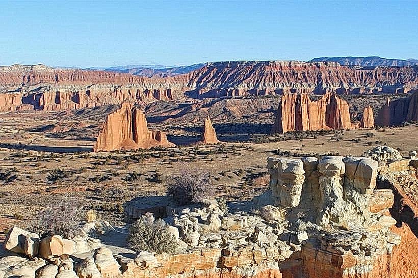
The district features historic adobe and stone farmhouses, barns, and corrals. Structures are primarily constructed from local sandstone and timber. The landscape is characterized by irrigated orchards, including apple, pear, and peach trees, set against the backdrop of the Waterpocket Fold's colorful sandstone cliffs.
Location & Access Logistics
Fruita is situated along State Route 24, approximately 12 miles west of Torrey. The nearest major airport is Salt Lake City International Airport (SLC), about a 3.5-hour drive away. Parking is available at designated pull-offs and visitor areas within Capitol Reef National Park. Public transport is not available to Fruita; access is via private vehicle.
Historical & Ecological Origin
The Fruita settlement was established in the late 19th century by Mormon pioneers, with significant development occurring between 1880 and 1900. The primary purpose was agriculture, utilizing the Fremont River for irrigation. The area's geology is part of the Waterpocket Fold, a 100-mile monocline formed by a geological warp.
Key Highlights & Activities
Visitors can walk through the historic orchards, which are open for self-picking during harvest seasons (typically August-October). Self-guided walking tours of the historic buildings, including the Gifford Homestead and the Fruita Schoolhouse, are possible. Hiking trails, such as the Hickman Bridge Trail, originate near the district.
Infrastructure & Amenities
Restrooms are available at the Fruita Campground and the Capitol Reef Visitor Center. Shade is provided by mature trees in the orchards. Cell phone signal is intermittent within the district, with better reception near the Visitor Center. Limited food services are available at the Gifford Homestead (seasonal).
Best Time to Visit
For orchard viewing and photography, early morning or late afternoon light provides optimal illumination of the sandstone cliffs and orchards. The best months for pleasant weather and orchard fruit are September and October. Spring (April-May) offers blooming trees.
Facts & Legends
The Fruita settlement was originally named "Sweetwater" by its founders. A unique aspect is the ongoing agricultural use of the land, maintained by the National Park Service, allowing visitors to experience a living history farm.
Nearby Landmarks
- Capitol Reef National Park Visitor Center (0.2km North)
- Gifford Homestead (0.3km North)
- Hickman Bridge Trailhead (0.8km West)
- Petroglyph Panel (1.5km West)
- Goosenecks Overlook (3.0km West)