Landmark: Goosenecks Overlook
City: Torrey
Country: USA Utah
Continent: North America
Goosenecks Overlook, Torrey, USA Utah, North America
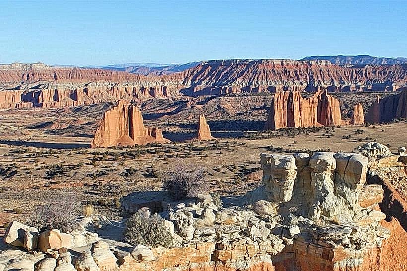
Goosenecks Overlook is a geological formation located near Torrey, Utah, USA. It offers a vantage point for observing the entrenched meanders of the Fremont River.
Visual Characteristics
The overlook provides a view of the Fremont River as it carves through layers of sedimentary rock. The river exhibits a series of tight, sinuous bends, forming distinct "goosenecks." The surrounding landscape consists of arid desert terrain with exposed rock strata displaying shades of tan, red, and brown. Vegetation is sparse, primarily consisting of drought-resistant shrubs and grasses.
Location & Access Logistics
Goosenecks Overlook is situated approximately 10 kilometers (6.2 miles) west of Torrey, Utah, along State Route 24. The turnoff is clearly marked. Parking is available in a designated gravel lot adjacent to the overlook. There are no public transport options directly serving the overlook.
Historical & Ecological Origin
This geological feature is the result of differential erosion over millions of years. The Fremont River, flowing through a region of uplifted sedimentary rock, has incised deeply into the landscape, maintaining its course while the surrounding landmass rose. This process has created the characteristic entrenched meanders.
Key Highlights & Activities
Observation of the river's meanders from the designated viewpoint. Photography of the geological formations. Educational interpretation of the erosional processes is available via interpretive signage at the overlook.
Infrastructure & Amenities
A small, paved viewing area is present. Interpretive signage is installed. Restroom facilities are not available at the overlook. Cell phone signal is intermittent. No food vendors are located at this site.
Best Time to Visit
For photography, late afternoon light provides optimal illumination of the rock strata and river bends. The months of April through October offer the most stable weather conditions. No tide considerations apply.
Facts & Legends
The Fremont River's path through this area is a testament to the power of fluvial erosion. The river has maintained its course across a rising plateau, a phenomenon known as "superimposition."
Nearby Landmarks
- Capitol Reef National Park Visitor Center (12km East)
- Hickman Bridge Trailhead (15km East)
- Grand Wash (18km East)
- Fruita Orchards (13km East)