Landmark: Fatick Salt Flats
City: Fatick
Country: Senegal
Continent: Africa
Fatick Salt Flats, Fatick, Senegal, Africa
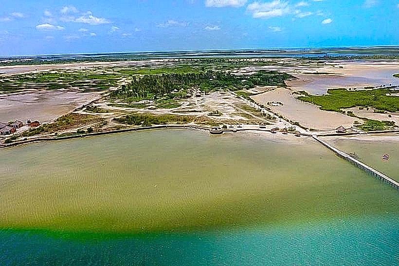
The Fatick Salt Flats, also known as the Salins du Sine-Saloum, are expansive industrial and artisanal evaporation ponds located on the outskirts of the city of Fatick, Senegal. These flats utilize the hyper-saline waters of the Sine River to produce thousands of tons of sea salt annually for regional consumption and export.
Visual Characteristics
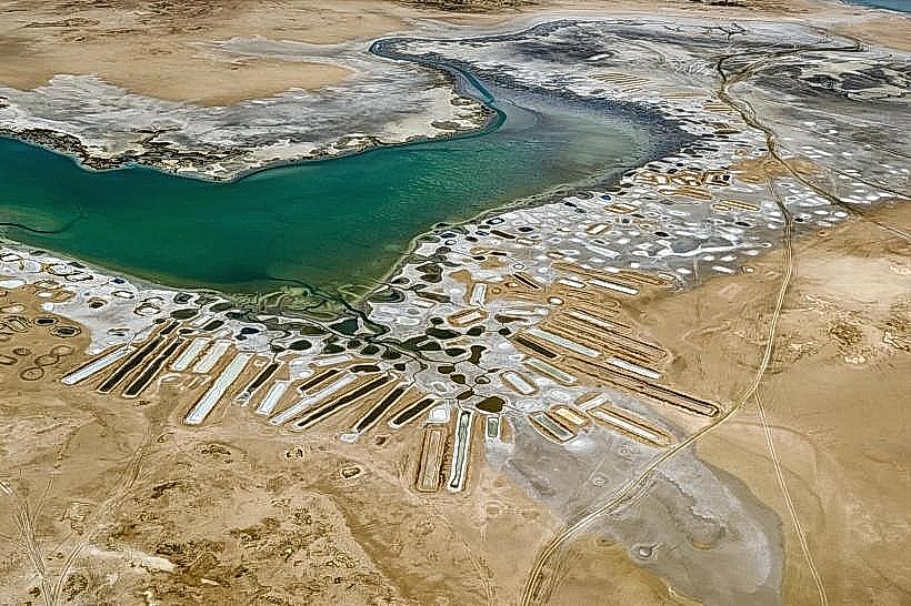
The landscape is a geometric grid of shallow evaporation basins separated by narrow earthen dikes. The water within these ponds shifts through a spectrum of colors-ranging from pale turquoise to deep magenta-due to varying salinity levels and the presence of halophilic algae. Massive, conical white mounds of harvested salt dominate the horizon, contrasting with the surrounding grey silt and stunted mangrove shrubs.
Location & Access Logistics
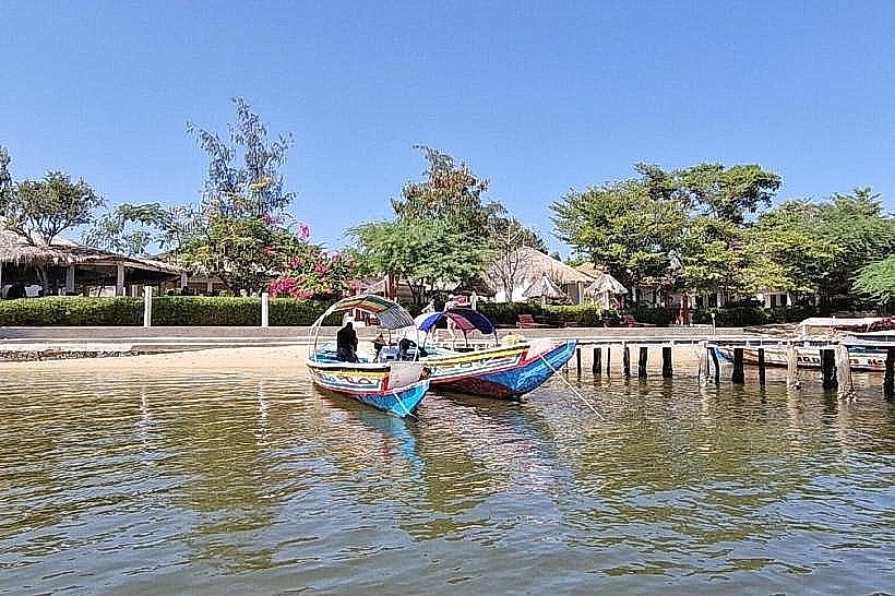
The flats are situated immediately west and south of the Fatick city center, bordering the Sine River estuary. Access is via the N1 highway, which passes directly alongside the primary harvesting zones. Visitors can reach the perimeter using local yellow taxis or horse-drawn carriages (calèches) from the Fatick bus station. There is no formal entrance fee or parking lot, though most activity is visible from the public embankment roads.
Historical & Ecological Origin
The flats are part of a "reverse estuary" system where high evaporation rates and low freshwater inflow create extreme salt concentrations. Salt harvesting in Fatick has been a core economic activity for the Serer people for centuries. Industrialization of the site began in the 20th century, but a significant portion of the production remains artisanal, relying on manual labor and solar evaporation.
Key Highlights & Activities
Observation of manual salt harvesting is the primary activity, where workers rake crystallized salt into piles and transport it in head-carried basins. Photography of the colorful evaporation ponds and the crystalline salt pyramids is a major draw. Guided walks along the dikes are possible, providing a close-up view of the crystallization process and the specialized tools used by local salt workers.
Infrastructure & Amenities
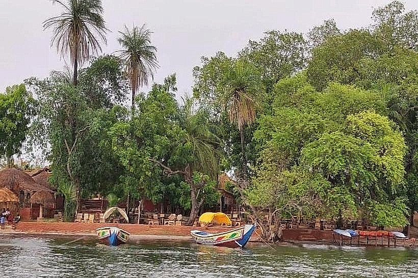
Infrastructure is strictly industrial and rudimentary. There are no public restrooms, visitor centers, or paved pedestrian paths within the harvesting areas. Shade is non-existent on the open flats, though some trees are found at the city-side periphery. 4G/5G cellular signal is strong throughout the site. Food and water must be purchased in the Fatick city center, located less than 1km away.
Best Time to Visit
The peak of the dry season (March to June) is the best time to visit, as this is when salt crystallization is most intense and the ponds display their most vibrant colors. For photography, the late afternoon (16:30–18:00) is optimal, as the low sun creates long shadows and reflects off the white salt mounds. Harvesting activity is typically highest in the early morning (07:00–10:00).
Facts & Legends
The distinct pink hue seen in some ponds is caused by Dunaliella salina, a micro-organism that produces carotenoids to survive the high salt levels. Local lore suggests that the salt of Fatick possesses protective spiritual properties, and it is common for residents to keep a small amount of local salt in their homes to ward off "bad spirits" or negative energy.
Nearby Landmarks
Sine River Banks – 0.2km West
Fatick Regional Museum – 1.2km East
Foundiougne Bridge – 45.0km West
Burial Mound of the Serer Kings (Diakhao) – 45.0km North