Landmark: Foundiougne Bridge
City: Fatick
Country: Senegal
Continent: Africa
Foundiougne Bridge, Fatick, Senegal, Africa
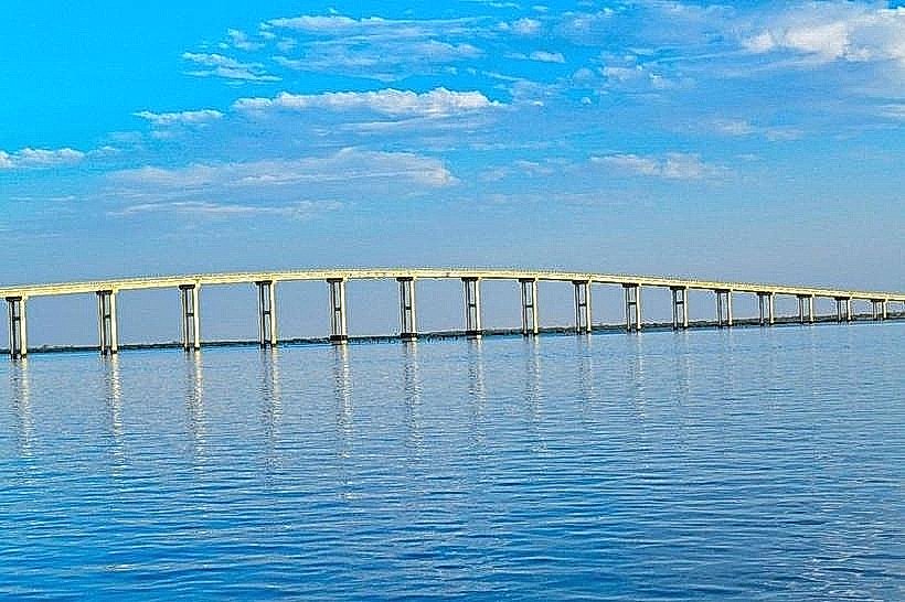
The Foundiougne Bridge, officially named the Nelson Mandela Bridge, is a 1,600-meter-long concrete toll bridge spanning the Saloum River in the Fatick Region. It is the longest bridge in Senegal, designed to replace the ferry service and provide a permanent link between northern and southern Sine-Saloum.
Visual Characteristics
The structure is a modern, pre-stressed concrete beam bridge supported by 52 massive circular pylons embedded in the riverbed. It features a two-lane asphalt roadway with pedestrian walkways on both sides protected by steel railings. The bridge rises to a maximum height of 28 meters above the water at its central span, allowing for the passage of medium-sized maritime vessels.
Location & Access Logistics
The bridge is located in the town of Foundiougne, connecting the R61 road on the northern bank to the town center on the southern bank. It is approximately 45km west of Fatick. Access is through a toll plaza located on the northern approach. While motorized vehicles are the primary users, the bridge is accessible to pedestrians and horse-drawn carriages (calèches) common to the region.
Historical & Ecological Origin
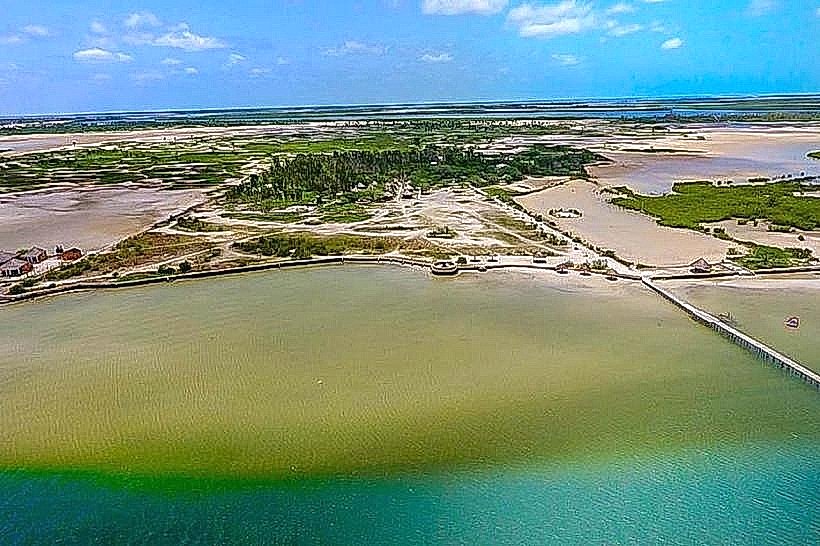
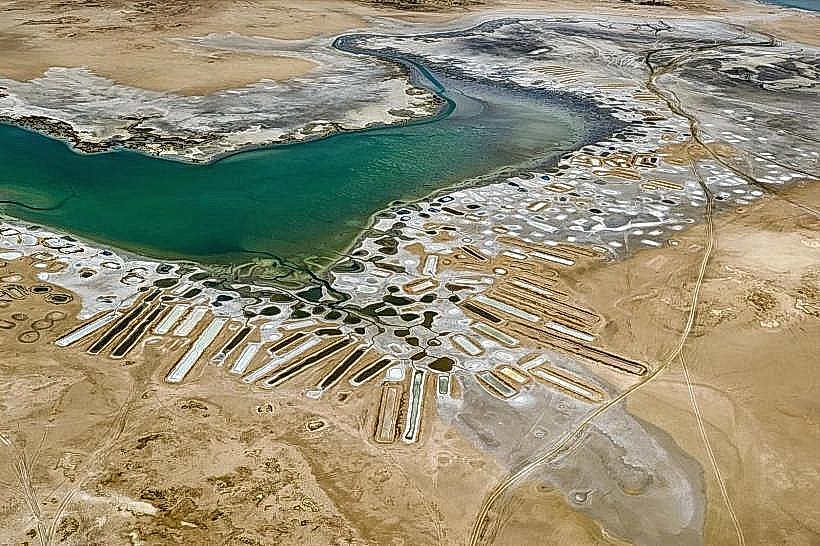
Construction was funded through a partnership between the Senegalese government and the Export-Import Bank of China, with the official inauguration occurring in early 2022. Geologically, it spans a wide estuarine section of the Saloum River characterized by deep silt deposits and high salinity. The bridge was built to facilitate trade and tourism by bypassing the unreliable ferry system.
Key Highlights & Activities
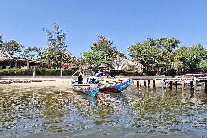
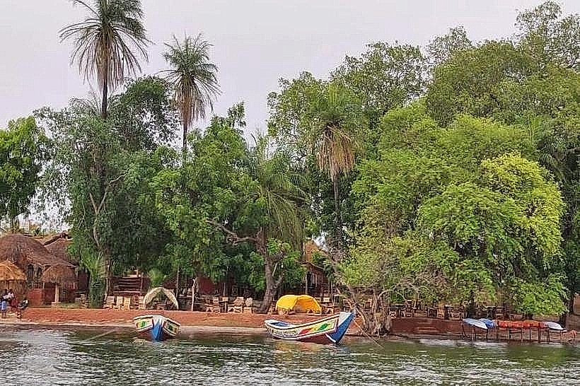
The primary activity is vehicular transit, significantly reducing travel time between the Petit Côte and the Gambian border. The pedestrian walkways offer panoramic views of the Saloum Delta, the mangrove forests, and the artisanal fishing pirogues operating below. Photography of the river's expanse is a common activity for travelers stopping at the designated viewpoints near the ends of the bridge.
Infrastructure & Amenities
The bridge features modern solar-powered street lighting along its entire length. A toll plaza with automated and manual gates is situated on the northern side. There are no restrooms, food vendors, or shaded areas on the bridge itself; these amenities are located in the town of Foundiougne on the southern bank. 4G/5G cellular signal is consistently strong across the entire span.
Best Time to Visit
The best time for photography is during the golden hour (17:30 to 19:00), when the sun sets over the delta's horizon. For the best visibility of the mangrove systems, morning hours (08:00 to 10:00) are recommended. The bridge is open 24 hours a day, providing a reliable alternative to the daytime-only ferry operations of the past.
Facts & Legends
Before the bridge was built, the Foundiougne ferry was the only way to cross, often resulting in multi-hour wait times. A unique local fact is that the bridge's height was specifically engineered to allow future industrial development of the Kaolack Port, ensuring that large ships could still navigate the river beneath the central spans.
Nearby Landmarks
Foundiougne Town Center – 0.5km South
Saloum River – 0.0km (Directly beneath)
Foundiougne Ferry Terminal (Defunct) – 0.8km South
Fatick City Center – 45.0km East