Landmark: Green River State Park
City: Green River
Country: USA Utah
Continent: North America
Green River State Park, Green River, USA Utah, North America
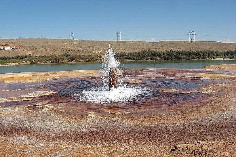
Green River State Park is a designated recreational area situated in Green River, Utah, USA. It provides access to the Green River for various outdoor pursuits.
Visual Characteristics
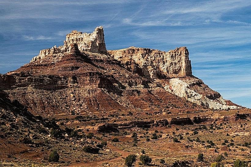
The park features a riparian environment along the Green River. The river itself is typically a muddy brown color due to sediment. The surrounding terrain consists of desert scrub, with sparse vegetation including sagebrush and greasewood. Rock formations are present along the riverbanks, exhibiting sandstone and shale layers. The park area is relatively flat, with elevations ranging from approximately 4,000 to 4,100 feet above sea level.
Location & Access Logistics
Green River State Park is located approximately 2 miles west of the city of Green River, Utah. Access is via Interstate 70, taking Exit 164 (Green River). Follow U.S. Route 6 West for approximately 1.5 miles. Turn south onto the signed park entrance road. A paved road leads into the park. Parking is available in designated lots near the river access points and campground. Public transport options to Green River city exist, but direct park access via public transit is not available. The nearest major airport is Grand Junction Regional Airport (GJT), approximately 55 miles east.
Historical & Ecological Origin
The Green River is a major tributary of the Colorado River, originating in the Wind River Range of Wyoming. Its geological history involves millions of years of erosion, carving through sedimentary rock layers. The park area itself was established to preserve and provide access to this natural resource for public recreation. The ecological classification is high desert riparian zone.
Key Highlights & Activities
Boating and kayaking are primary activities on the Green River. Fishing for species such as channel catfish and rainbow trout is permitted. Hiking trails are present within the park, offering views of the river and surrounding desert landscape. Camping is available in a designated campground. Wildlife viewing, including birds and desert mammals, is possible.
Infrastructure & Amenities
Restrooms with flush toilets are available at the campground and day-use areas. Picnic tables and shade structures are provided in designated day-use zones. Cell phone signal (4G/5G) is generally available within the park, though it can be intermittent in some areas. There are no on-site food vendors; visitors should bring their own supplies. A boat ramp facilitates river access.
Best Time to Visit
The best months for visiting are April through October, avoiding the extreme heat of mid-summer. Mornings and late afternoons offer softer lighting for photography. River conditions can vary; check local reports for water levels and flow rates, especially for boating. High tide is not a relevant factor for this riverine environment.
Facts & Legends
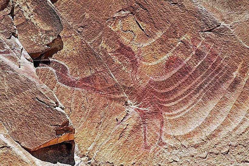
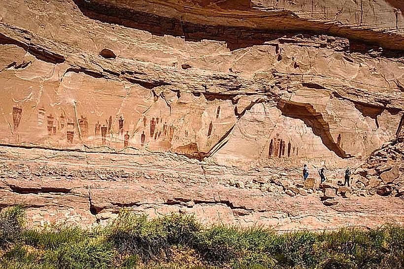
The Green River is one of the longest rivers in North America. A specific historical oddity is the presence of ancient Fremont culture petroglyphs found on rock faces in the broader region, though not directly within the immediate park boundaries. A visitor tip: carry ample water, as the desert climate is arid.
Nearby Landmarks
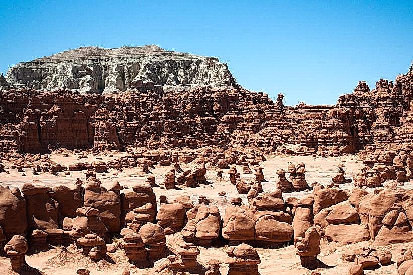
- Goblin Valley State Park (35km Southwest)
- Arches National Park (50km Northeast)
- Canyonlands National Park (Island in the Sky District - 60km Southeast)
- San Rafael Swell Recreation Area (20km West)
- John Wesley Powell River History Museum (2km East)