Landmark: Temple Mountain
City: Green River
Country: USA Utah
Continent: North America
Temple Mountain, Green River, USA Utah, North America
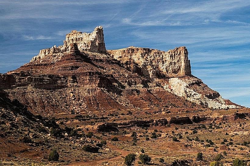
Temple Mountain is a geological formation located in the San Rafael Swell region near Green River, Utah, USA.
Visual Characteristics
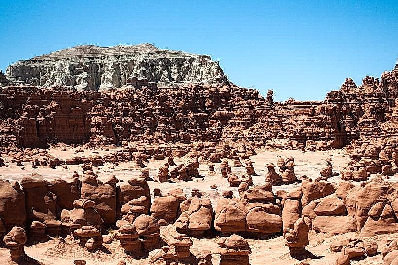
Temple Mountain is characterized by its prominent sandstone formations, exhibiting layered strata in shades of red, orange, and tan. The elevation reaches approximately 7,000 feet (2,134 meters). The surrounding terrain consists of desert scrub and sparse vegetation.
Location & Access Logistics
Temple Mountain is situated approximately 30 miles west of Green River, Utah. Access is via Interstate 70, exiting at Exit 131 (Temple Mountain Junction). From the junction, follow the paved Temple Mountain Road for approximately 5 miles. The road is generally well-maintained but can be rough in sections. Parking is available at designated pull-offs and a small lot near the base of the mountain. No public transport services this location.
Historical & Ecological Origin
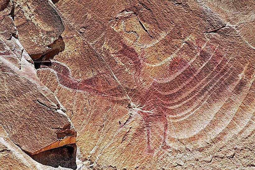
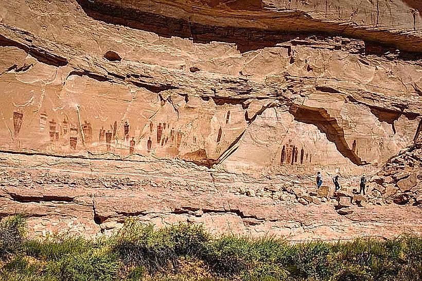
Temple Mountain is a product of geological uplift and erosion. The sandstone formations are part of the Navajo Sandstone, deposited during the Jurassic period. The area was historically used by indigenous peoples for shelter and resources. The name "Temple Mountain" is attributed to early settlers who perceived the formations as resembling religious structures.
Key Highlights & Activities
Hiking trails are present around the base and up to certain vantage points on Temple Mountain. Rock scrambling is possible on designated routes. Photography of the geological formations is a primary activity. The area is also popular for off-road vehicle use on designated trails.
Infrastructure & Amenities
Restroom facilities are limited to a pit toilet located at the main trailhead. There is no natural shade on the mountain itself. Cell phone signal is intermittent and generally unreliable. No food vendors are present at the site; visitors should bring their own supplies.
Best Time to Visit
The best time for hiking and photography is during the spring (April-May) and fall (September-October) months when temperatures are moderate. Mid-morning and late afternoon offer optimal lighting conditions for photographing the sandstone colors. Summer months can experience extreme heat.
Facts & Legends
A local legend suggests that ancient Native American tribes used caves within Temple Mountain for ceremonial purposes, believing the formations held spiritual significance. Geologically, the mountain is part of a larger anticline structure within the San Rafael Swell.
Nearby Landmarks
- Goblin Valley State Park (15km Southwest)
- Little Wild Horse Canyon (18km Southwest)
- Factory Butte (25km West)
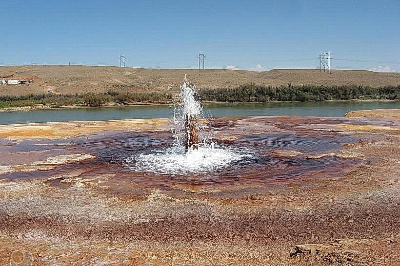
- San Rafael River (10km South)