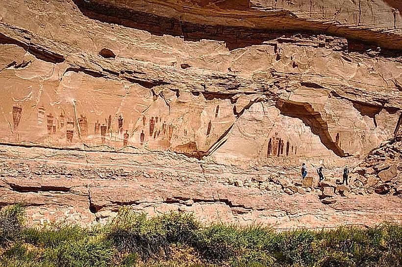
Landmark: Little Wild Horse Canyon
City: Green River
Country: USA Utah
Continent: North America
Little Wild Horse Canyon, Green River, USA Utah, North America
Little Wild Horse Canyon is a slot canyon located in Emery County, Utah, approximately 30 miles west of Green River.
It is known for its narrow passages and sculpted sandstone walls.
Visual Characteristics
The canyon walls are composed of Navajo Sandstone, exhibiting shades of tan, orange, and red. The width of the canyon varies significantly, narrowing to as little as 3 feet in some sections. The floor is primarily sand and gravel, with occasional rockfall debris. Vegetation is sparse, consisting mainly of desert shrubs and small trees along the canyon rim and at wider sections.
Location & Access Logistics
Access to Little Wild Horse Canyon is via a graded dirt road, often referred to as the "Muddy Creek Road" or "Temple Mountain Road," which branches off Interstate 70 at Exit 131. The turnoff is approximately 25 miles west of Green River. The dirt road is approximately 10 miles long to the trailhead. A high-clearance vehicle is recommended, especially after rain. Parking is available at the designated trailhead. No public transport services this location.
Historical & Ecological Origin
Little Wild Horse Canyon is a product of natural erosion, primarily by water over millions of years. The sandstone formations are part of the Colorado Plateau, a region characterized by uplift and subsequent erosion. The canyon's formation is a geological process of differential weathering and hydraulic action.
Key Highlights & Activities
Hiking through the canyon is the primary activity. Visitors navigate narrow passages, climb over small obstacles, and experience the sculpted rock formations. The canyon can be explored as an out-and-back hike or as part of a loop by connecting with nearby Bell Canyon via a ridge trail. Flash flood potential exists, requiring visitors to check weather forecasts.
Infrastructure & Amenities
A basic trailhead with a small parking area is present. No restrooms, potable water, or designated shade structures are available at the trailhead or within the canyon. Cell phone signal is unreliable to non-existent within the canyon and along the access road.
Best Time to Visit
The best time for hiking is during the spring (April-May) and fall (September-October) to avoid extreme summer heat and winter cold. Mid-morning to early afternoon offers the best natural light for viewing the canyon walls. Avoid visiting during or immediately after rainfall due to the risk of flash floods.
Facts & Legends
The canyon's name is attributed to the sound of wind whistling through its narrow passages, which some early settlers likened to the cry of wild horses. A specific tip for visitors is to carry a map and compass or GPS device, as the canyon can be disorienting, and the connecting trails are not always clearly marked.
Nearby Landmarks
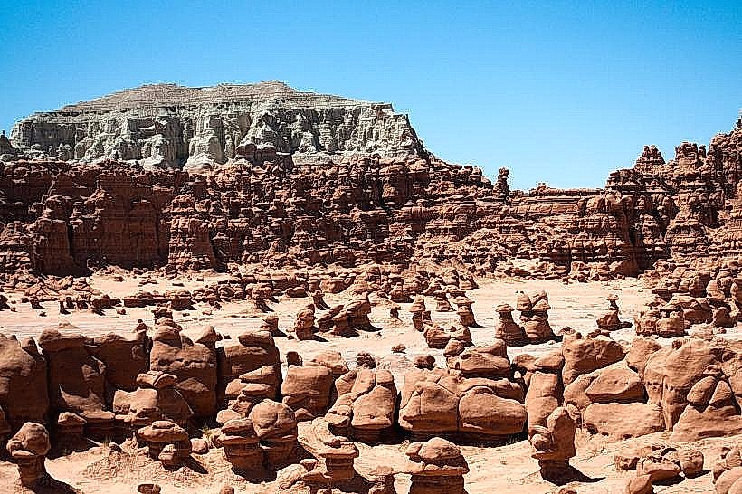
- Goblin Valley State Park (15km Southwest)
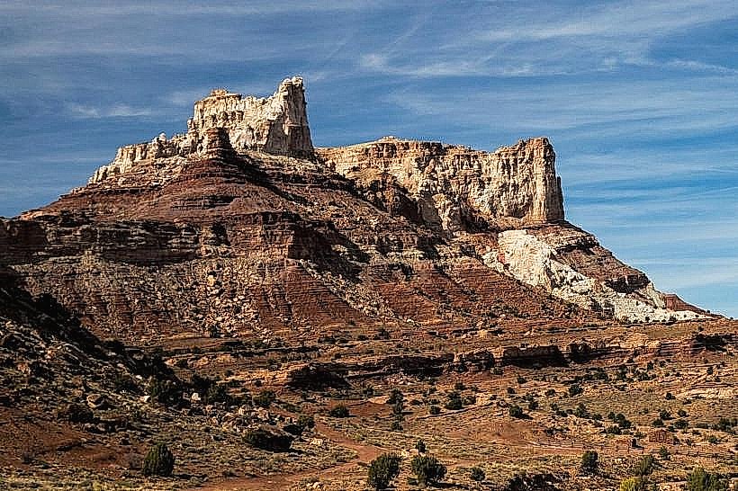
- San Rafael Swell Recreation Area (Adjacent)
- Factory Butte (20km Northwest)
- Capitol Reef National Park (Approximately 70km West)