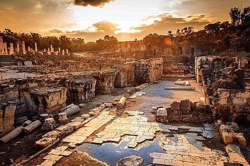
Landmark: Jordan Valley
City: Beit Shean
Country: Israel
Continent: Asia
Jordan Valley, Beit Shean, Israel, Asia
The Jordan Valley is a deep, elongated depression forming part of the Syro-African Rift, located in eastern Israel and the West Bank. It extends from the Sea of Galilee in the north to the Dead Sea in the south, bordered by the Gilead Mountains to the east and the Samarian and Judean hills to the west.
Visual Characteristics
The landscape transitions from lush, green agricultural plains in the north to arid, lunar-like marl formations and salt flats in the south. The Jordan River winds through the valley floor, creating a narrow corridor of dense riparian vegetation including tamarisks and reeds. The valley walls are characterized by steep limestone and basalt cliffs, with colors shifting from deep browns and greys to pale yellows near the Dead Sea.
Location & Access Logistics
The primary transit route is Highway 90, which runs the entire length of the valley from Metula to Eilat. The valley is accessible from Jerusalem via Highway 1 and from the Galilee via Highway 71. Public transport is serviced by Egged bus lines 961 and 966, which connect Jerusalem and Tiberias. Parking is available at various nature reserves, gas stations, and roadside viewpoints along the main highway.
Historical & Ecological Origin
Geologically, the valley was formed by the movement of the Arabian and African tectonic plates along the Dead Sea Transform fault. Historically, it has served as a critical migration corridor for humans and animals for millennia. It contains some of the world's oldest agricultural sites and is a primary flyway for over 500 million migratory birds that travel between Europe and Africa biannually.
Key Highlights & Activities
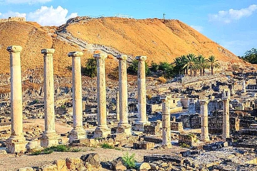
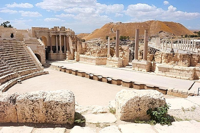
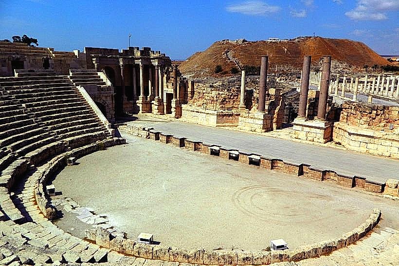
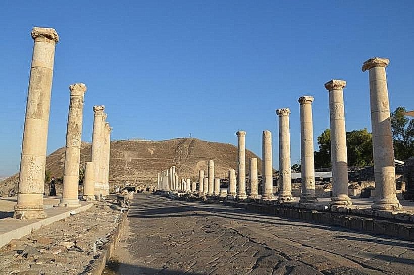
Specific actions include birdwatching at the various wetlands and observation points during the spring and autumn migrations. Travelers can visit the Qasr el Yahud baptismal site on the banks of the Jordan River or explore the ancient ruins at Beit She'an. Hiking is possible in the numerous canyons (wadis) that descend from the surrounding mountains, such as Wadi Qelt or Nahal Prazim.
Infrastructure & Amenities
The valley features several regional commercial hubs, such as Beit She'an and Jericho, which offer full services. Roadside rest areas along Highway 90 provide gas stations, convenience stores, and restrooms. Most of the valley has consistent 5G cellular coverage, though signal can fluctuate within deep canyons. Shade is extremely limited outside of organized parks and agricultural groves.
Best Time to Visit
The optimal period for travel is from November to March when temperatures are mild and the northern section is green. Photography is best during the early morning hours to capture the shadow play on the rift walls or at sunset when the mountains of Jordan glow orange. During summer (June–August), temperatures frequently exceed 40°C, making midday outdoor activity hazardous.
Facts & Legends
A unique geographical fact is that the Jordan Valley contains the lowest land point on Earth at the Dead Sea shore. Local lore across multiple cultures identifies the valley as the setting for numerous biblical events, including the crossing of the Israelites into the Promised Land and the ascent of the Prophet Elijah in a chariot of fire.
Nearby Landmarks
Beit She'an National Park – 0.5km North (from city center)
Qasr el Yahud Baptismal Site – 10.0km Southeast of Jericho
Belvoir Fortress – 12.0km North of Beit She'an
St. George’s Monastery – 5.0km West of Jericho
Mount Gilboa – 8.0km West of the valley floor