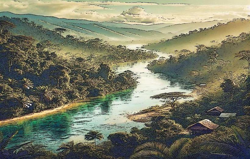
Landmark: Kivung River
City: West New Britain
Country: Papua New Guinea
Continent: Australia
Kivung River, West New Britain, Papua New Guinea, Australia
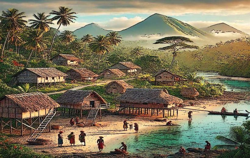
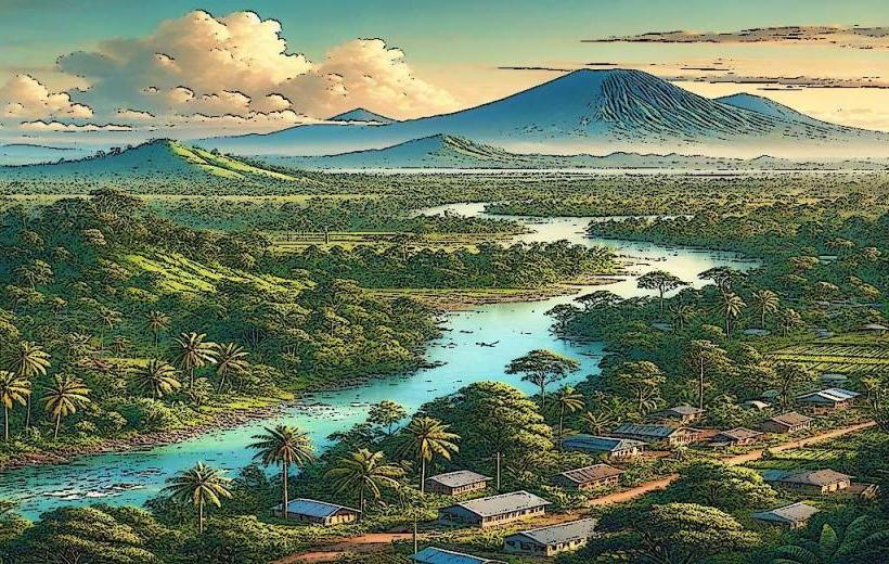
The Kivung River is a waterway located in West New Britain Province, Papua New Guinea. It flows through a region characterized by dense rainforest and volcanic terrain.
Visual Characteristics
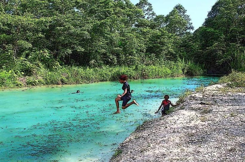
The river's water color varies from a muddy brown to a clear, dark hue depending on recent rainfall and sediment load. The banks are predominantly lined with dense tropical vegetation, including large ferns, palms, and emergent trees. Rock formations, often volcanic in origin, are visible along the riverbed and banks, particularly in narrower sections. The river width fluctuates, ranging from approximately 10 meters in shallower areas to over 50 meters in wider, slower-moving sections.
Location & Access Logistics
The Kivung River is situated approximately 40 kilometers inland from the provincial capital, Kimbe. Access is primarily via unpaved logging roads branching off the main New Britain Highway. These roads are often in poor condition, especially during the wet season, and may require a 4x4 vehicle. Travel time from Kimbe can range from 1.5 to 3 hours depending on road conditions. There is no designated public transport to the river. Parking is informal, typically on the side of the access tracks, with no official facilities.
Historical & Ecological Origin
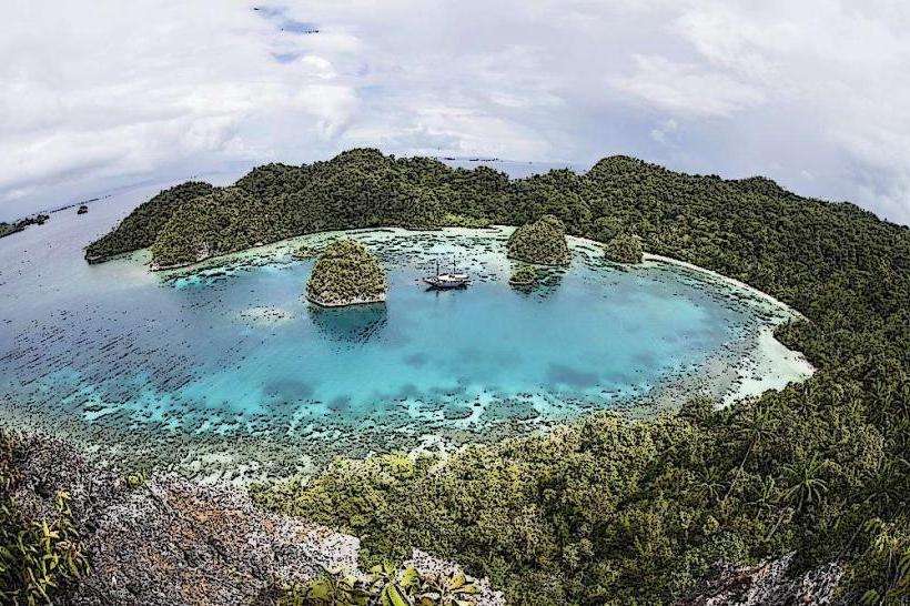
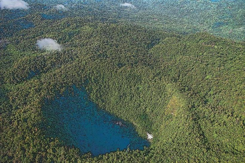
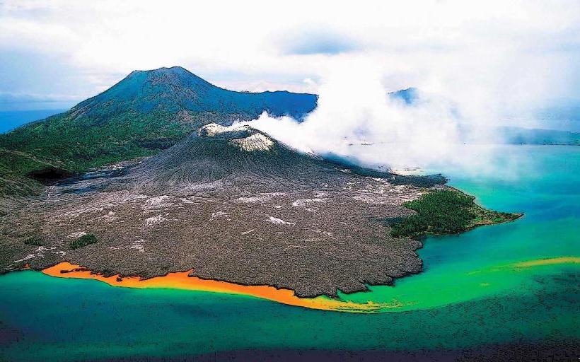
The Kivung River is part of the volcanic landscape of New Britain, formed by erosion over millennia. Its drainage basin encompasses the slopes of dormant volcanoes, contributing to its mineral-rich waters and sediment composition. The surrounding ecosystem is a lowland tropical rainforest, supporting a high level of biodiversity.
Key Highlights & Activities
Activities on the Kivung River are limited and primarily revolve around nature observation. Kayaking or canoeing is possible in calmer sections, offering opportunities to observe riparian flora and fauna. Birdwatching is a significant activity due to the diverse avian species present in the rainforest. Fishing is undertaken by local communities using traditional methods.
Infrastructure & Amenities
There are no formal infrastructure or amenities directly at the Kivung River. Restrooms, shade structures, and food vendors are absent. Cell phone signal is generally non-existent along the river and on the access roads.
Best Time to Visit
The best time for visiting the Kivung River is during the dry season, typically from June to September. This period offers more stable road conditions for access. For photography, early morning and late afternoon provide softer light, though dense canopy cover limits direct sunlight penetration. High tide is not a relevant factor for this river system.
Facts & Legends
Local folklore suggests that the river's currents can change unpredictably, attributed to the spirits of the forest. A specific geological feature known as the "Whispering Rocks" is located along a bend in the river, where wind passing through porous volcanic rock creates a distinct sound.
Nearby Landmarks
- Mount Talawe (15km Northwest)
- Baining Mountains (25km Southeast)
- Kimbe Bay (45km East)
- Garua Island (50km East)