Landmark: Mosa Island
City: West New Britain
Country: Papua New Guinea
Continent: Australia
Mosa Island, West New Britain, Papua New Guinea, Australia
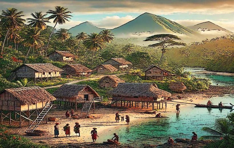
Mosa Island is a small landmass situated off the coast of West New Britain Province, Papua New Guinea.
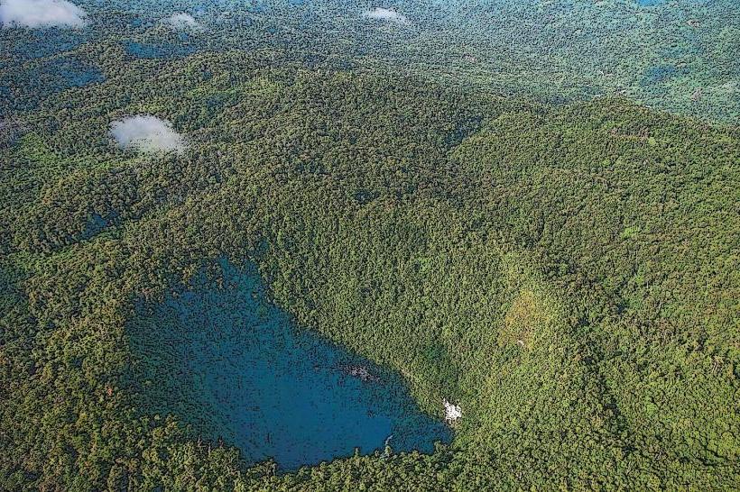
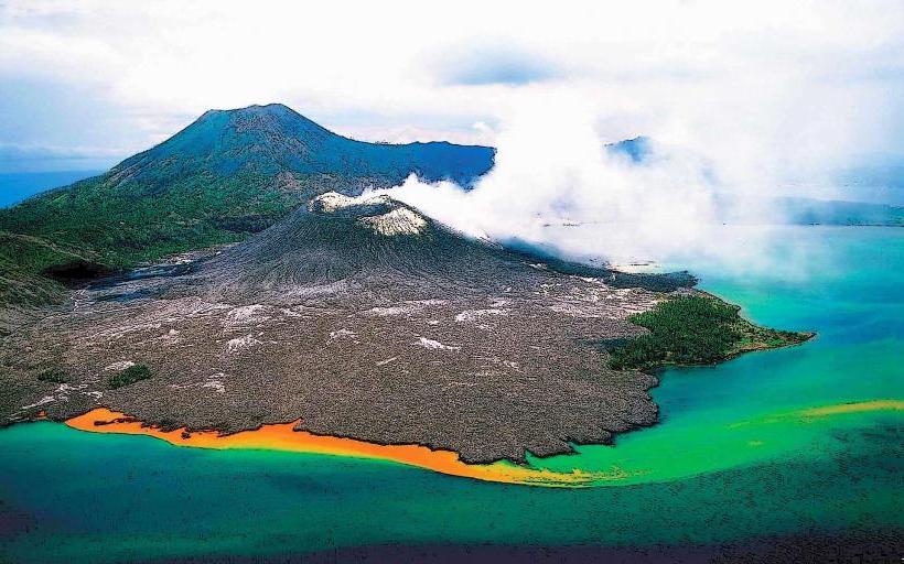
The island is characterized by its volcanic origins, featuring dark, porous rock formations and dense tropical vegetation.
Visual Characteristics
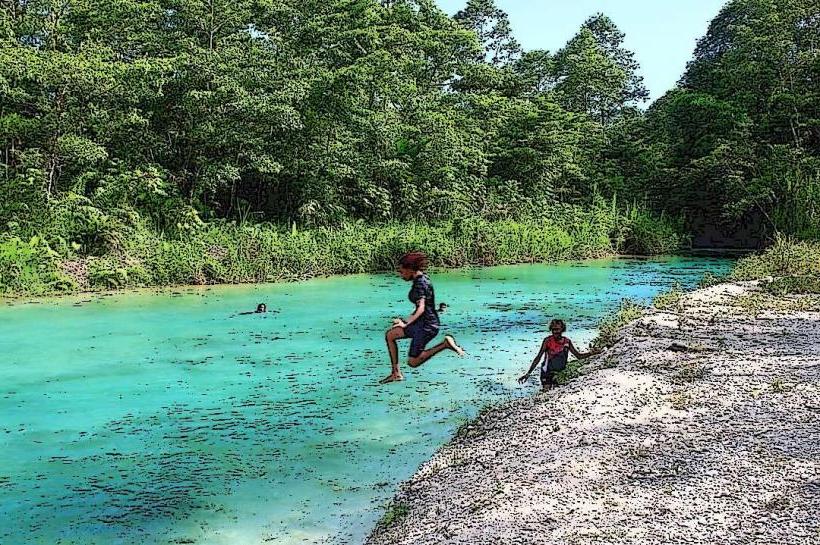
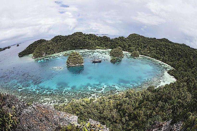
The island's coastline consists of black volcanic sand and exposed basalt rock. Inland, the terrain is rugged, covered by a thick canopy of rainforest species including various palms and ferns. The surrounding waters are typically clear, with visibility influenced by recent rainfall.
Location & Access Logistics
Mosa Island is located approximately 15 kilometers west of Kimbe, the provincial capital. Access is primarily via private boat charter from Kimbe town. The journey takes approximately 45 minutes to 1 hour depending on sea conditions. There is no public transport to the island. No dedicated parking facilities are available; boats anchor offshore.
Historical & Ecological Origin
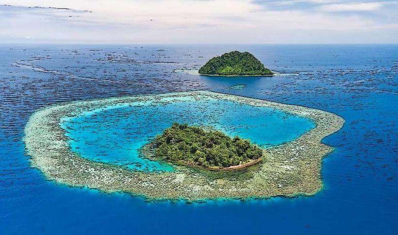
Mosa Island is a product of volcanic activity within the Bismarck Archipelago, a geologically active region. Its formation is attributed to submarine volcanic eruptions that built up over time to form the visible landmass. Ecologically, it represents a typical tropical island ecosystem with limited endemic species due to its size and recent geological age.
Key Highlights & Activities
Snorkeling and diving are possible around the island's fringing reef, particularly on the western side. Limited shore exploration is feasible on the accessible beaches. Birdwatching opportunities exist within the island's forest interior.
Infrastructure & Amenities
There are no permanent structures or amenities on Mosa Island. Visitors should bring all necessary supplies, including water and food. Cell phone reception is unreliable and generally absent.
Best Time to Visit
The dry season, from June to September, offers the most favorable sea conditions for boat access and visibility for underwater activities. The best time of day for photography is generally mid-morning to early afternoon, when sunlight penetration is highest.
Facts & Legends
Local folklore suggests the island was once inhabited by spirits who protected its resources. A specific geological feature, a series of sea caves on the northern coast, is said to be their dwelling place.
Nearby Landmarks
- Kimbe Town (15km East)
- Ulamona Coral Reef (8km Southeast)
- Bainings Cultural Centre (20km Southwest)
- Mount Lamington (approx. 150km Southwest - visible on clear days)