Landmark: Rabaul Volcano National Park
City: West New Britain
Country: Papua New Guinea
Continent: Australia
Rabaul Volcano National Park, West New Britain, Papua New Guinea, Australia
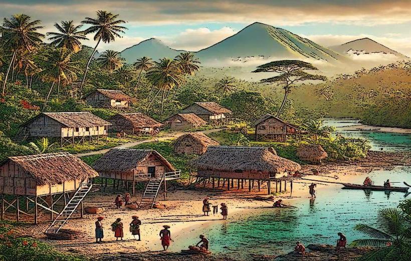
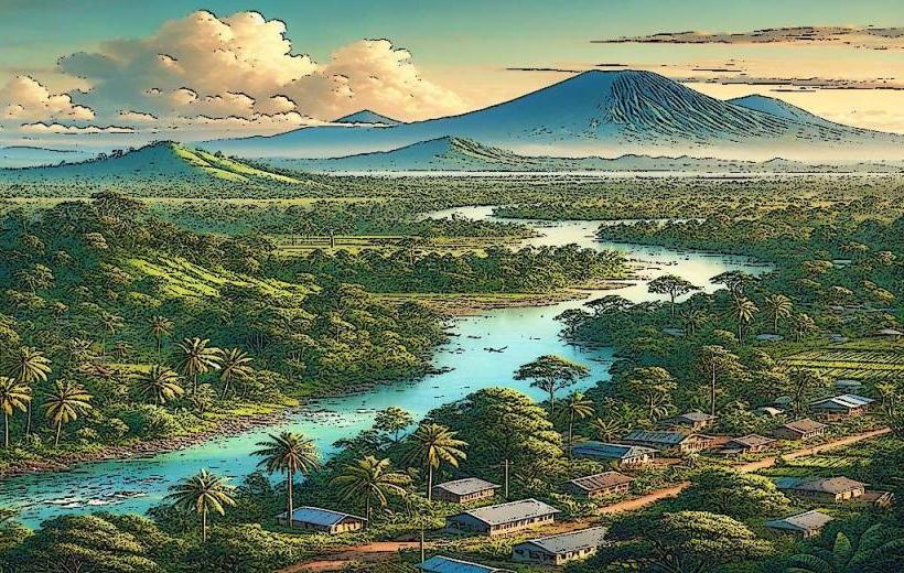
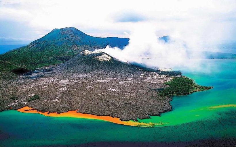
Rabaul Volcano National Park is a protected area encompassing several active volcanoes on the Gazelle Peninsula of New Britain, Papua New Guinea.
The park's primary feature is the Rabaul Caldera, a large volcanic depression containing multiple volcanic cones.
Visual Characteristics
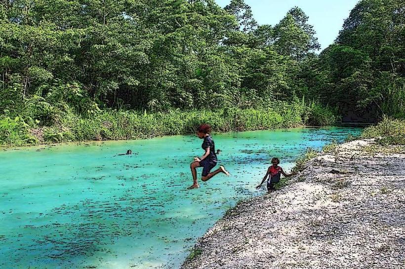
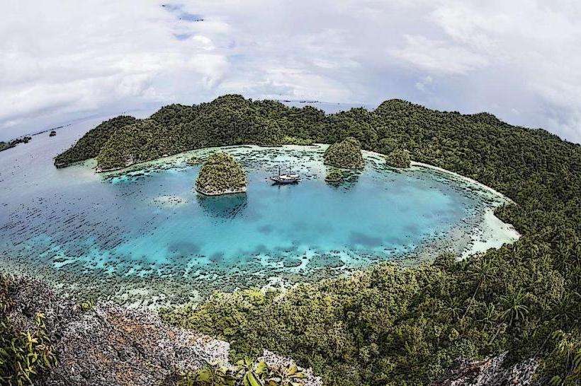
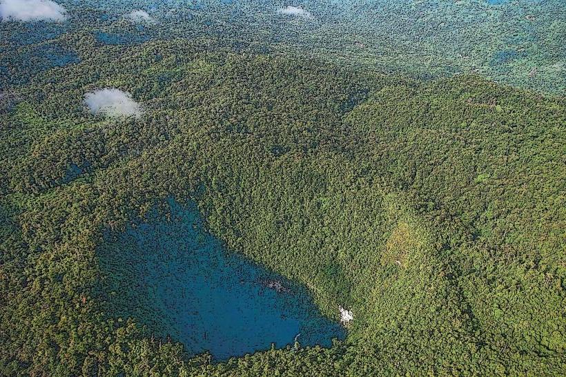
The landscape is dominated by volcanic cones, including Tavurvur and Vulcan, which exhibit varying degrees of vegetation cover. Lava flows from past eruptions are visible as dark, rugged terrain. The coastline features black sand beaches and volcanic rock formations. The surrounding vegetation is tropical rainforest, with areas of regrowth in recently affected zones.
Location & Access Logistics
The park is situated adjacent to the town of Rabaul, approximately 1 kilometer from the town center. Access is primarily via the Rabaul-Kokopo Highway. Private vehicle access is permitted to designated viewpoints and trailheads. Limited public transport operates within Rabaul town, with local taxis being the most common method of reaching park entrances. Parking is available at the base of Tavurvur and at the Rabaul Volcanological Observatory.
Historical & Ecological Origin
The Rabaul Caldera is a large volcanic depression formed by a massive eruption approximately 500 years ago. The volcanoes within the park, such as Tavurvur and Vulcan, are active stratovolcanoes. Vulcan last erupted in 1994, causing significant ashfall and destruction. Tavurvur has experienced intermittent eruptions, most recently in 2014. The park protects a geologically active zone with ongoing volcanic processes.
Key Highlights & Activities
Hiking to the crater rim of Tavurvur is possible, though conditions are subject to volcanic activity. Guided tours to observe volcanic activity are offered by local operators. Visiting the Rabaul Volcanological Observatory provides insights into seismic monitoring and volcanic research. Photography of active eruption plumes and volcanic landscapes is a common activity.
Infrastructure & Amenities
Restrooms are available at the Rabaul Volcanological Observatory. Limited shade is present at designated viewing areas. Cell phone signal (2G/3G) is generally available within the park boundaries, though it can be intermittent. Food vendors are not typically found within the park itself but are present in the nearby town of Rabaul.
Best Time to Visit
The best time of day for photography is generally during the early morning or late afternoon when lighting conditions are softer. The dry season, from June to September, offers the most favorable weather with less rainfall. Volcanic activity is unpredictable; therefore, checking current eruption status with the Rabaul Volcanological Observatory is essential before planning a visit.
Facts & Legends
A local legend suggests that the volcanoes are the dwelling place of ancestral spirits who can be appeased through offerings. The 1994 eruption of Tavurvur and Vulcan simultaneously caused significant damage to Rabaul town, leading to its partial evacuation and the relocation of the provincial capital.
Nearby Landmarks
- Rabaul Town Centre (0.5km West)
- Rabaul War Cemetery (2km Southwest)
- Bita Paka War Cemetery (15km Southeast)
- Kokopo Town (25km East)