Landmark: Wunung
City: West New Britain
Country: Papua New Guinea
Continent: Australia
Wunung, West New Britain, Papua New Guinea, Australia
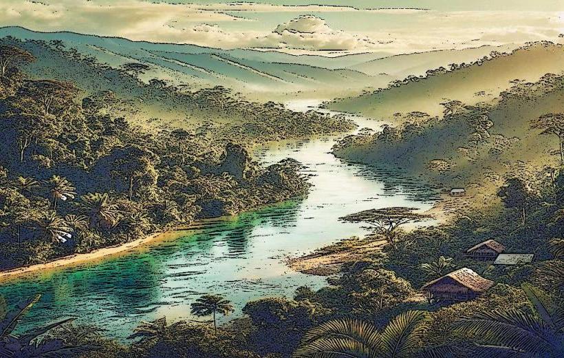
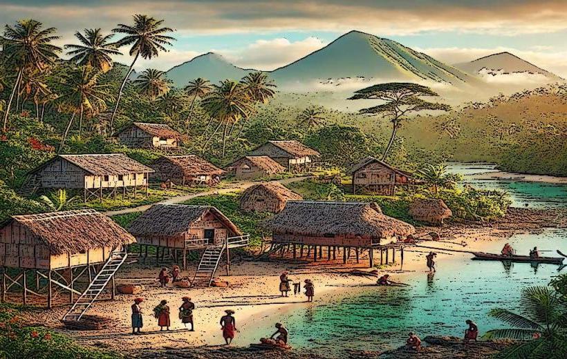
Wunung is a coastal village located in West New Britain Province, Papua New Guinea. It is situated on the northern coast of the island of New Britain.
Visual Characteristics
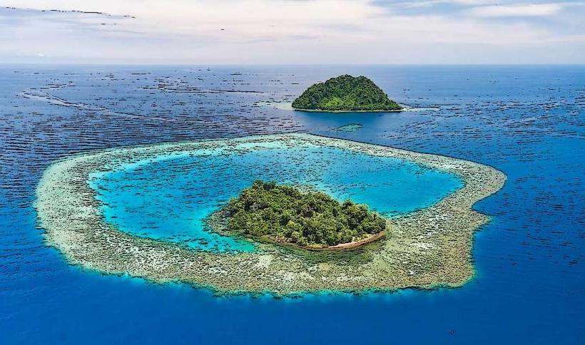
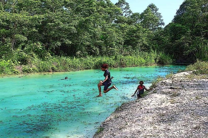
The village consists of traditional Melanesian structures, primarily constructed from local timber and sago palm thatch. Dwellings are typically low-lying, single-story buildings. The coastline features dark volcanic sand and is fringed by dense tropical rainforest. The waters offshore are generally clear, with visible coral formations in shallower areas.
Location & Access Logistics
Wunung is approximately 45 kilometers west of Kimbe, the provincial capital. Access is primarily via the New Britain Highway (also known as the West New Britain Highway). The road surface is largely unsealed and can be rough, particularly during the wet season. Travel time from Kimbe is estimated at 1.5 to 2 hours by 4WD vehicle. There is no designated public parking; vehicles are typically parked near individual residences. Public transport options are limited to informal PMV (Public Motor Vehicle) services that operate along the highway, though schedules are irregular.
Historical & Ecological Origin
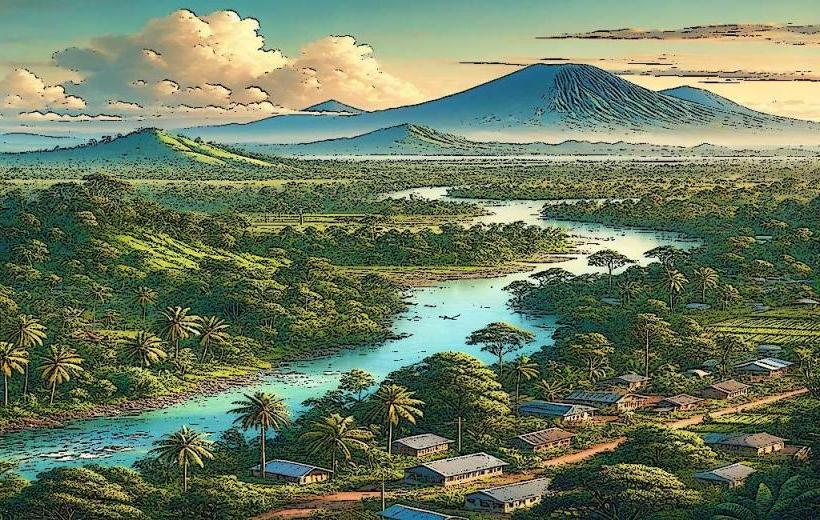
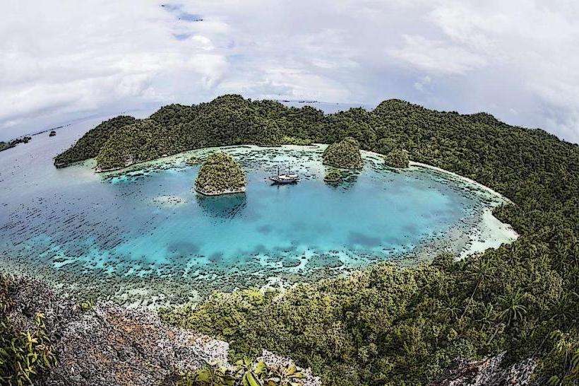
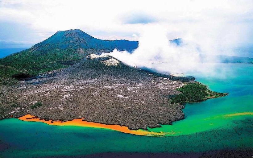
Wunung is a traditional settlement with a history tied to the indigenous Tolai people of West New Britain. The area is part of a volcanic landscape, with evidence of past volcanic activity in the surrounding terrain. The coastal ecosystem is a tropical marine environment characterized by coral reefs and associated biodiversity.
Key Highlights & Activities
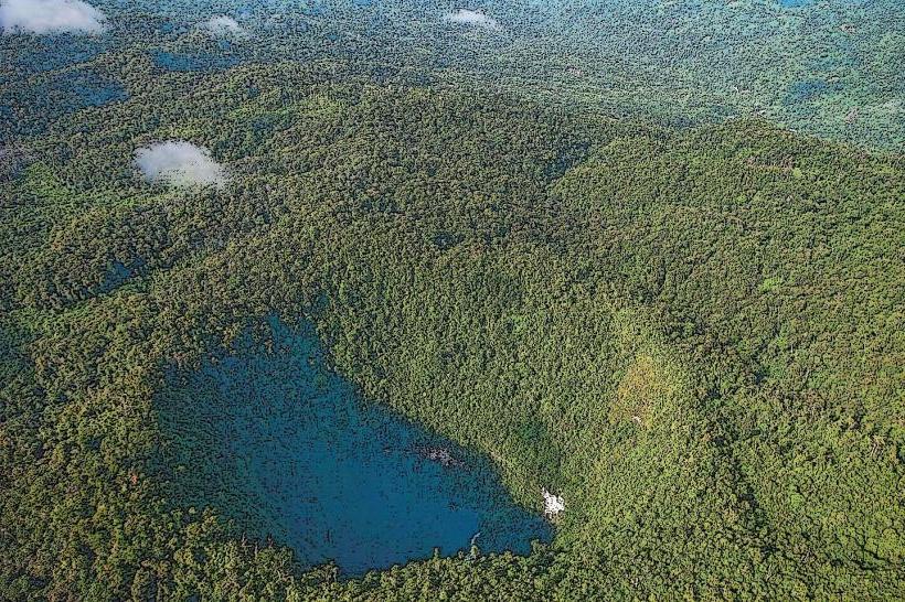
Visitors can observe traditional village life and local crafts. Snorkeling is possible in the reef areas adjacent to the village, particularly during calm sea conditions. Fishing expeditions can be arranged with local residents. Walking trails through the adjacent rainforest offer opportunities for observing local flora and fauna.
Infrastructure & Amenities
Basic amenities are available within the village, including potable water sources and sanitation facilities. Shade is provided by the natural tree canopy and the roofs of traditional dwellings. Cell phone signal is intermittent and unreliable. There are no formal food vendors; meals are typically prepared by local households.
Best Time to Visit
The dry season, from June to September, offers the most favorable weather conditions with reduced rainfall and calmer seas. The best time of day for photography is generally in the morning or late afternoon when the sun angle is lower, providing softer light. High tide is preferable for snorkeling to ensure adequate water depth over the coral.
Facts & Legends
Local folklore speaks of ancient spirits residing in the large banyan trees found at the edge of the village. A specific tip for visitors is to bring small, practical gifts such as fishing hooks or basic medical supplies, which are highly valued by the community.
Nearby Landmarks
- Kimbe Bay (15km East)
- Ulamona (25km West)
- Mount Pago (40km Southwest)
- Talasea (50km Northwest)