Landmark: Mount Ulawun
City: West New Britain
Country: Papua New Guinea
Continent: Australia
Mount Ulawun, West New Britain, Papua New Guinea, Australia
Mount Ulawun is an active stratovolcano located on the island of New Britain in West New Britain Province, Papua New Guinea.
It is one of the most active volcanoes in Papua New Guinea, with a history of frequent eruptions.
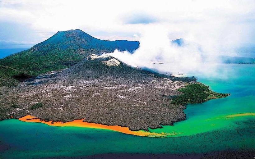
Visual Characteristics
Mount Ulawun is a conical volcano with steep slopes. Its summit is characterized by a crater that emits steam and volcanic gases. The volcano is primarily composed of basaltic and andesitic lava flows. Vegetation covers the lower slopes, transitioning to barren volcanic rock and ash near the summit.
Location & Access Logistics
Mount Ulawun is situated approximately 40 kilometers west of Kimbe, the provincial capital. Access to the base of the volcano is typically via unpaved roads from Kimbe. The journey requires a 4WD vehicle and can take several hours depending on road conditions. There is no public transport directly to the volcano. Parking is informal and available at the trailhead, with capacity for a limited number of vehicles.
Historical & Ecological Origin
Mount Ulawun is part of the Bismarck Volcanic Arc, formed by the subduction of the Solomon Sea Plate beneath the Pacific Plate. It is a stratovolcano, built up over thousands of years by successive eruptions of lava and ash. The volcano's eruptive history dates back at least 30,000 years, with significant eruptions recorded in historical times, including major events in 1700, 1878, 1915, 1937, 1967, 1970, 1973, 1980, 1982, 1984, 1985, 1989, 1990, 1992, 1995, 1997, 1998, 2000, 2001, 2003, 2006, 2007, 2008, 2009, 2010, 2011, 2012, 2013, 2014, 2015, 2016, 2017, 2018, 2019, 2020, 2021, 2022, and 2023.
Key Highlights & Activities
The primary activity associated with Mount Ulawun is volcano observation and, for experienced hikers, summit ascents. Hiking to the summit involves navigating steep, often unstable terrain and requires good physical condition. Due to the active nature of the volcano, summit access is subject to current volcanic activity and safety advisories issued by local authorities. Observation of volcanic activity, including fumaroles and ash emissions, is possible from designated safe viewing points at the base.
Infrastructure & Amenities
There are no formal infrastructure or amenities at Mount Ulawun. Visitors should carry all necessary supplies, including water and food. Restroom facilities are not available. Cell phone signal is unreliable in the vicinity of the volcano. Shade is limited to natural cover on the lower, vegetated slopes.
Best Time to Visit
The best time for visiting Mount Ulawun for observation is during the dry season, typically from May to October, when rainfall is lower and road conditions are more favorable. For hiking, early morning hours are recommended to avoid the midday heat and to allow ample time for the ascent and descent. Volcanic activity can occur at any time, and visitors should monitor official advisories.
Facts & Legends
Mount Ulawun is classified as a high-risk volcano due to its frequent eruptions and proximity to populated areas. Local folklore sometimes associates the volcano's activity with the moods of ancestral spirits. A specific tip for visitors is to always check with the Rabaul Volcano Observatory or local authorities for the latest volcanic activity status before planning any visit, especially for hiking.
Nearby Landmarks
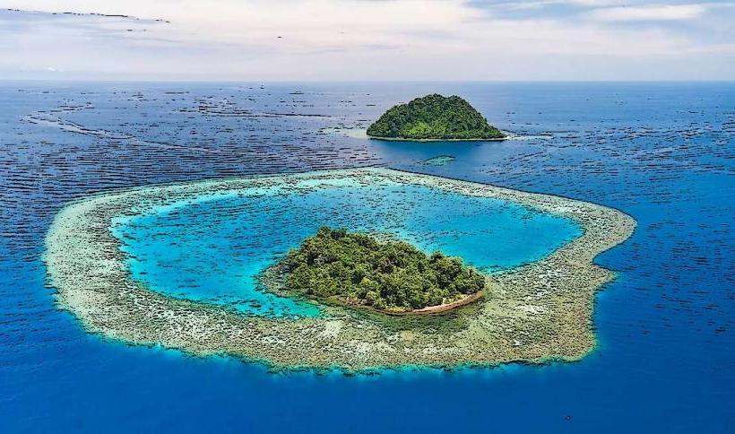
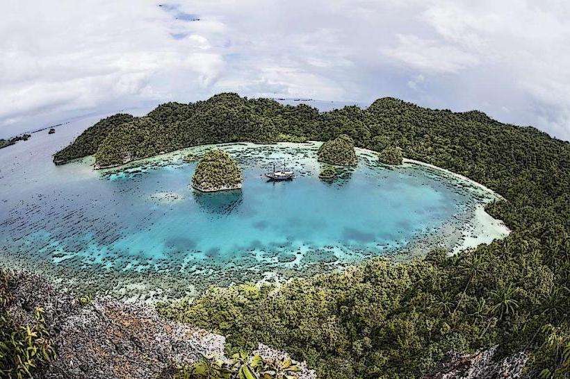
- Kimbe Bay (15km East)
- Mount Talawe (25km Southeast)
- Bamus (30km West)
- Mount Pago (40km Southwest)