Landmark: Nakanai Mountains
City: West New Britain
Country: Papua New Guinea
Continent: Australia
Nakanai Mountains, West New Britain, Papua New Guinea, Australia
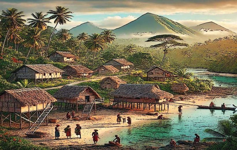
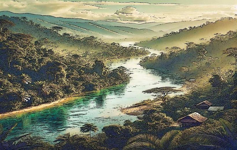
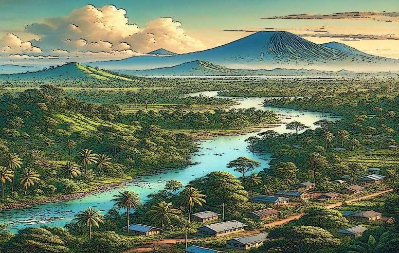
The Nakanai Mountains are a mountain range located on the island of New Britain, within the West New Britain Province of Papua New Guinea. This region is characterized by its karst topography and extensive cave systems.
Visual Characteristics
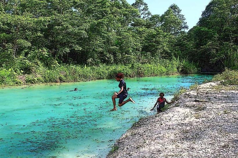
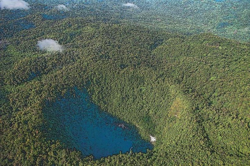
The Nakanai Mountains are composed primarily of limestone, resulting in dramatic karst formations including sinkholes, underground rivers, and extensive cave networks. Vegetation is dense tropical rainforest, obscuring much of the underlying geology at lower elevations. Peak elevations reach approximately 1,000 meters (3,280 feet).
Location & Access Logistics
The Nakanai Mountains are situated inland from the north coast of West New Britain. Access typically involves travel from the provincial capital, Kimbe. From Kimbe, a combination of rough track driving and trekking is required. Specific access points and routes vary depending on the targeted cave system or area within the range. There are no established public transport routes directly into the mountains; private vehicle hire and local guides are essential.
Historical & Ecological Origin
The Nakanai Mountains are a product of geological uplift and the dissolution of soluble limestone rock over millions of years, forming a classic karst landscape. The region is ecologically significant for its unique cave-dwelling fauna and endemic plant species adapted to the rainforest environment.
Key Highlights & Activities
Exploration of the extensive cave systems, including the discovery and mapping of new passages. Trekking through the rainforest to reach cave entrances. Observation of unique cave fauna. Photography of karst formations.
Infrastructure & Amenities
There are no established infrastructure or amenities within the Nakanai Mountains. Visitors must be self-sufficient. Cell phone signal is generally absent. Basic shelters may be erected by expedition teams, but no permanent facilities exist.
Best Time to Visit
The dry season, typically from June to September, is preferable for trekking and cave exploration due to reduced rainfall and potentially lower river levels within caves. However, the rainforest environment means rain is possible year-round.
Facts & Legends
The Nakanai region is known for its exceptionally large and complex cave systems, some of which remain largely unexplored. Local oral traditions speak of spirits inhabiting the deep caves and underground rivers.
Nearby Landmarks
- Mount Talawe (15km Southwest)
- Kimbe Bay (30km North)
- Baining Mountains (40km East)
- Garua Island (35km North)