Landmark: Komati River Gorge
City: Piggs Peak
Country: Eswatini
Continent: Africa
Komati River Gorge, Piggs Peak, Eswatini, Africa
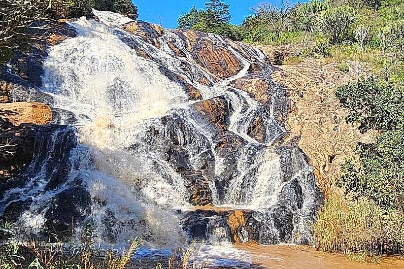
The Komati River Gorge is a deep, rugged geological fissure carved through the ancient rock formations of the Hhohho region in northwest Eswatini. Operating as a major ecological corridor and a focal point for white-water hydrology, the gorge cuts through some of the oldest crags on Earth, forming a dramatic natural wilderness basin immediately downstream from the Maguga Dam Wall.
Visual Characteristics
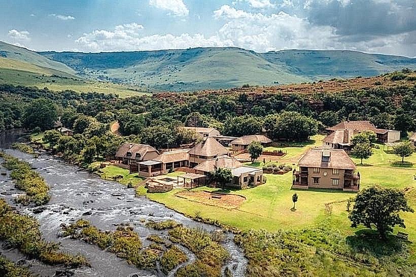
The landmark is defined by towering vertical granite cliffs, steep rock-strewn embankments, and a churning riverbed filled with massive boulders, rapids, and deep alluvial pools. The exposed rock layers display weathered shades of dark charcoal, rust-red iron stone, and light gray gneiss belonging to the ancient Barberton Greenstone Belt. The vegetation consists of a dense, multi-layered transition forest where hardy mountain aloes and ancient cycads cling to the cliff ledges, while thick riverine reeds and weeping water-myrtles line the rushing torrents below.
Location & Access Logistics
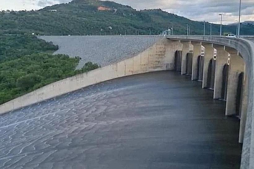
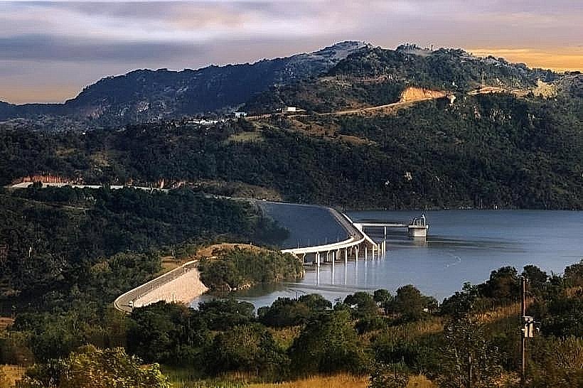
The gorge stretches immediately below the southern foundations of the Maguga Dam Wall, situated roughly 16 kilometers south of the town of Piggs Peak. Access to the rim trails is achieved via the paved MR19 scenic loop road, which connects directly to the primary MR1 highway. Public transport commuters can utilize a regional bus or kombi routing between Mbabane and Piggs Peak via Maguga, disembarking at the Maguga Dam Viewpoint transit stop. Reaching the actual riverbed requires a strenuous descent along unpaved, rocky community footpaths, while vehicular parking is securely anchored at the paved viewpoint complex overlooking the chasm.
Historical & Ecological Origin
The gorge was systematically hollowed out over billions of years by the erosive force of the Komati River cutting through Archean rock strata. Historically, the canyon served as a natural geographic barrier and a secure sanctuary for early San hunter-gatherers and later Swazi clans fleeing regional tribal wars. The ecology of the gorge underwent a major structural shift in 2001 following the completion of the Komati River Basin Development Project; the construction of the upstream dam regulated the river's wild seasonal flood cycles, stabilizing the riparian habitats but permanently altering the sediment transport down the canyon.
Key Highlights & Activities
Hiking along the rugged wilderness loop trails tracking the rim and base of the cliffs is the primary recreational action available. Technical rock climbing and bouldering are conducted along the sheer granite rock faces under localized safety protocols. Bird-watching is exceptionally productive within the sheltered micro-climate of the canyon, offering clear sightings of rare raptors, including the black stork and the Verreaux's eagle nesting in the high crags. Fresh-water angling for indigenous yellowfish and barbel is popular in the calmer deep pools located further down the river course.
Infrastructure & Amenities
The gorge remains a largely unmanaged, primitive wilderness zone with zero commercial amenities or structural modifications along the riverbed trails. Cleared paths and public restrooms are non-existent down in the canyon, requiring visitors to utilize the modern plumbed facilities located at the Maguga Dam Viewpoint complex on the ridge. Natural shade is highly localized, provided exclusively by the deep cliff shadows and pockets of dense riverine canopy, while the open gravel bars and boulder fields are fully exposed to solar radiation. Cellular network signal strength is erratic, showing stable 4G connection along the upper rims but dropping completely within the deep granite basement of the gorge.
Best Time to Visit
The wilderness area is accessible during daylight hours, with the early morning from 07:00 to 09:30 offering the coolest and safest conditions for executing the steep descent. For landscape photography, the late afternoon between 15:30 and 17:00 provides optimal golden-hour illumination, casting dramatic high-contrast shadows across the vertical cliff faces. The dry winter season from May to August represents the most favorable travel period, ensuring the steep dirt footpaths remain dry and eliminating the flash-flood risks associated with sudden summer thunderstorms across the upper Komati catchment.
Facts & Legends
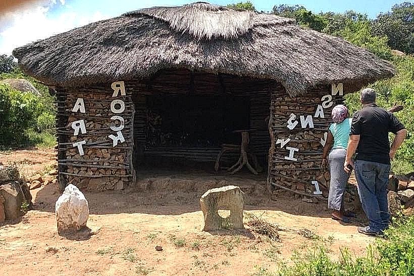
A verified archaeological reality of the Komati River Gorge is its close proximity to the ancient Nsangwini Rock Art Site, proving that the sheltered micro-climate of the canyon functioned as a critical spiritual and domestic axis for hunter-gatherer populations thousands of years ago. Local community lore frequently highlights narratives of the Imfene (cliff-dwelling baboons), which are traditionally said to act as the vocal sentinels of the gorge; their resonant, echoing alarm barks along the granite walls are viewed by local elders as a natural surveillance system that accurately warns of approaching weather changes or human intruders entering the deep river gates.
Nearby Landmarks
Maguga Dam Wall: 0.5km North
Maguga Dam Viewpoint: 1.2km North
Maguga Power Station: 1.5km West
Nsangwini Rock Art Site: 1.5km Southeast
Piggs Peak Central Market: 16.0km North