Landmark: Lorengau Town
City: Manus
Country: Papua New Guinea
Continent: Australia
Lorengau Town, Manus, Papua New Guinea, Australia
Lorengau is the administrative center and primary port of Manus Province, located on the island of Manus in Papua New Guinea.
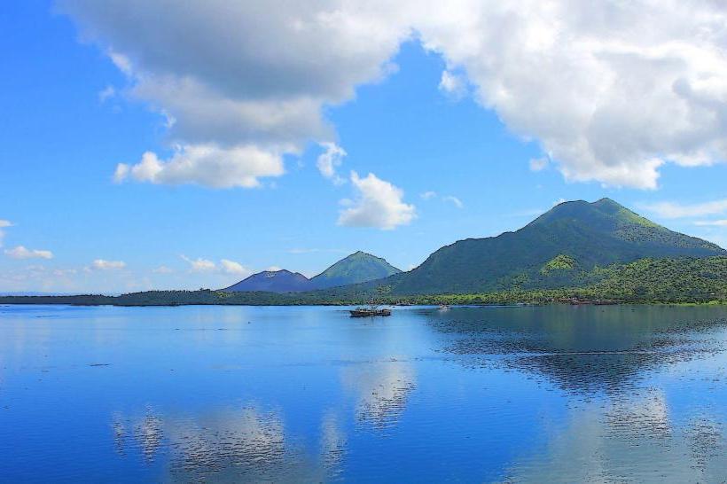
The town is situated on the southern coast of Manus Island, facing the Manus Strait.
Visual Characteristics
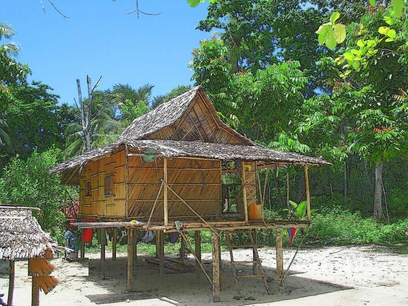
Lorengau presents a functional, coastal town appearance. Structures are predominantly constructed from concrete and corrugated iron roofing, reflecting a utilitarian architectural approach. The town's layout is largely linear, following the coastline and main access roads. Vegetation is sparse within the immediate town center, consisting of scattered palm trees and low-lying shrubs. The harbor area features moored fishing vessels and small cargo ships.
Location & Access Logistics
Lorengau is accessible via Manus Airport (MAS), located approximately 10 kilometers west of the town. Direct flights operate from Port Moresby. Road access within Lorengau is primarily via the main coastal road, which connects to the airport road. There is limited public transport; most movement is by private vehicle or taxi. Parking is available along the main street and near the market area, though it is informal.
Historical & Ecological Origin
Lorengau developed as a colonial administrative post during the Australian administration of Papua New Guinea. Its original purpose was to serve as a center for governance and trade for the Manus region. The town is situated on a low-lying coastal plain, part of the broader Manus Island landmass, which is of volcanic origin.
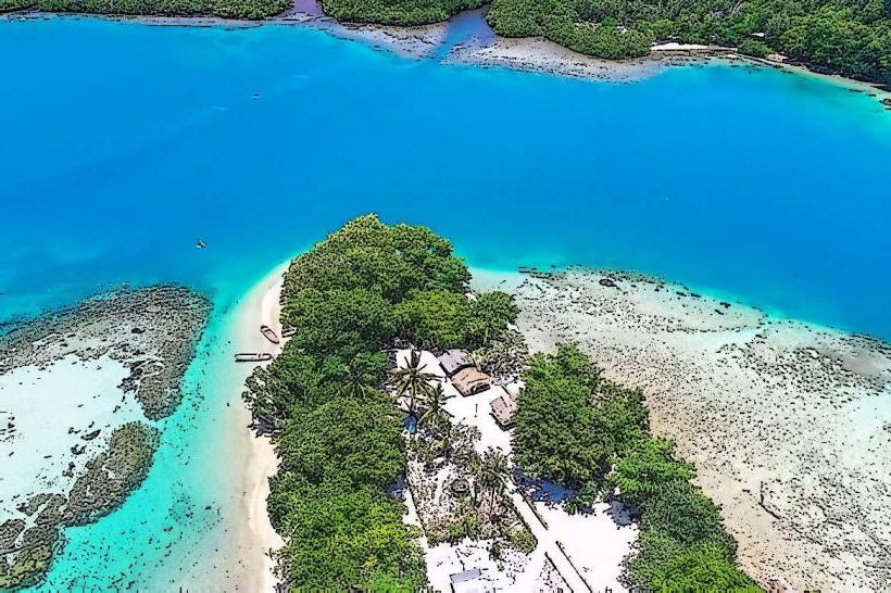
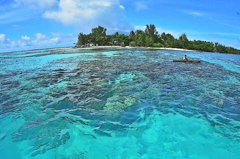
Key Highlights & Activities
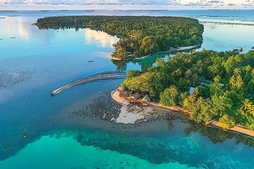
Visitors can explore the Lorengau Market for local produce and crafts. Boat tours to nearby islands, such as Manus National Park (Manus Island Marine Sanctuary), can be arranged through local operators. Fishing and observing local maritime activity are also common pursuits.
Infrastructure & Amenities
Basic amenities are available. Restrooms are located at the market and at some guesthouses. Shade is provided by building overhangs and market stalls. Cell phone signal (2G/3G) is generally available within the town center, though coverage can be inconsistent. Limited food vendors operate near the market, offering local dishes.
Best Time to Visit
The dry season, from June to September, offers the most favorable weather conditions with reduced rainfall. The best time of day for photography is generally in the morning or late afternoon to avoid harsh midday sun. There are no specific tide requirements for town access.
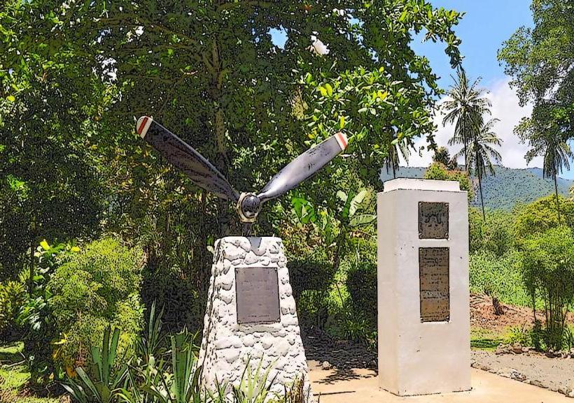
Facts & Legends
During World War II, Lorengau served as a significant Allied naval base. A notable historical oddity is the presence of remnants of wartime infrastructure, though much has been reclaimed by vegetation or dismantled.
Nearby Landmarks
- Manus Airport (MAS) - 10km West
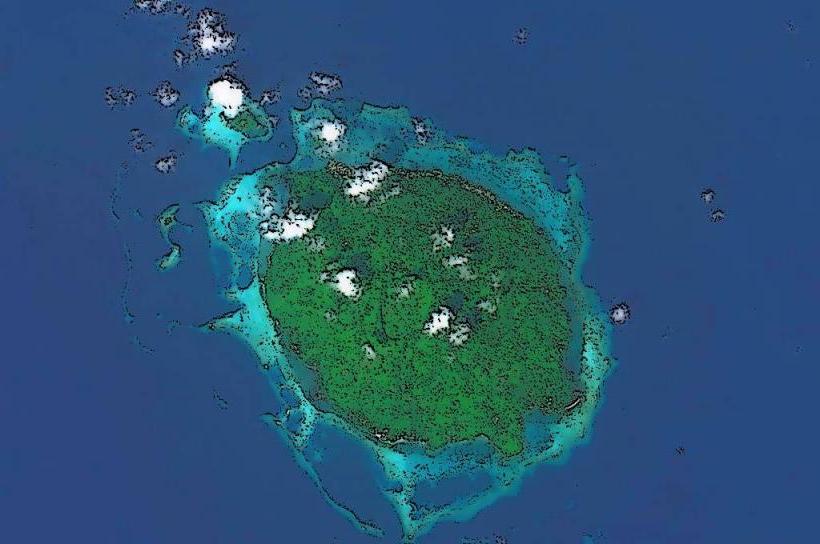
- Manus National Park (Manus Island Marine Sanctuary) - Accessible by boat, distance varies based on departure point.
- Baluan Island - Approximately 20km Southeast (requires boat transfer).