Landmark: Tsoi Village
City: Manus
Country: Papua New Guinea
Continent: Australia
Tsoi Village, Manus, Papua New Guinea, Australia
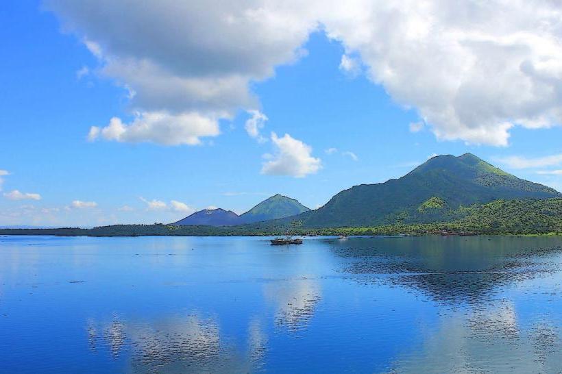
Tsoi Village is a traditional settlement located on the island of Manus in Papua New Guinea.
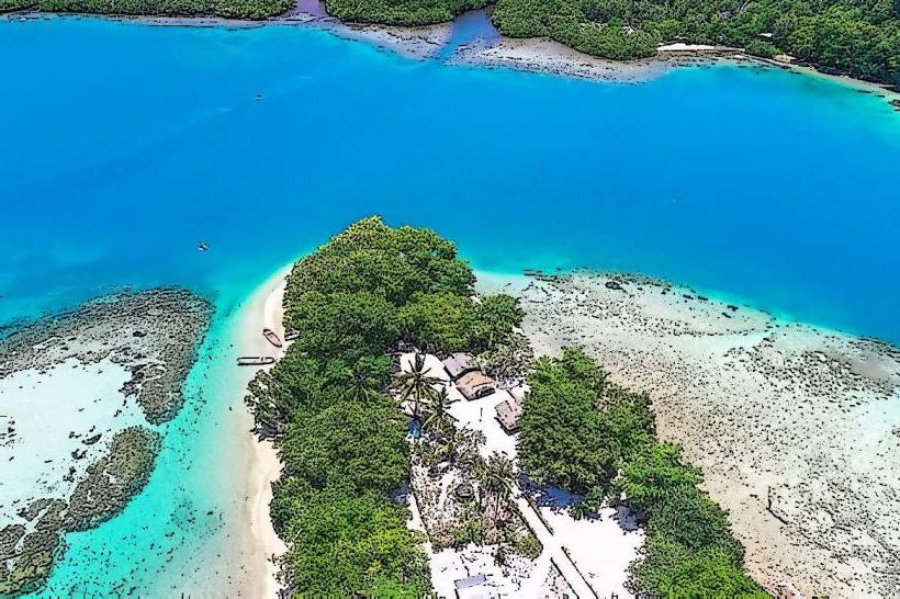
It is situated on the northern coast of Manus Island, facing the Pacific Ocean.
Visual Characteristics
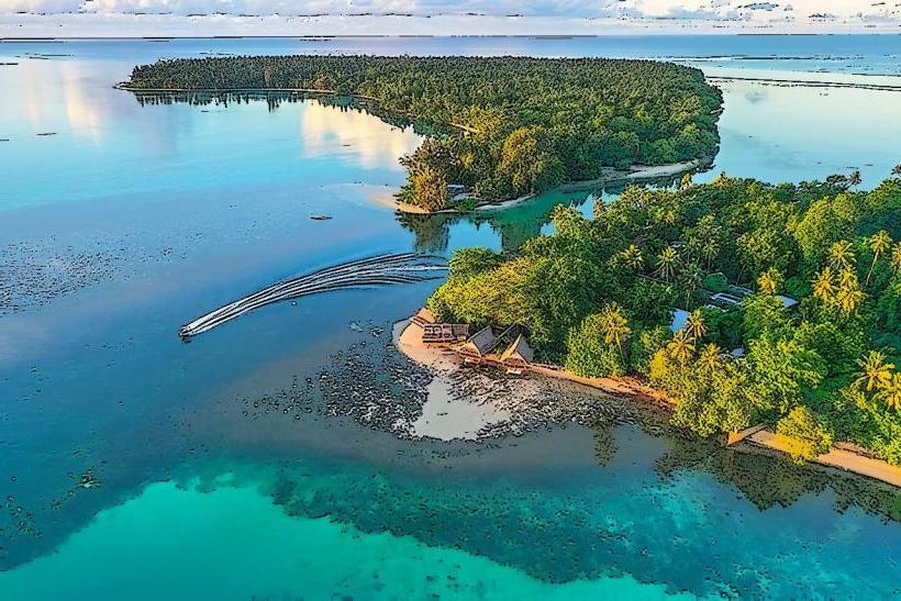
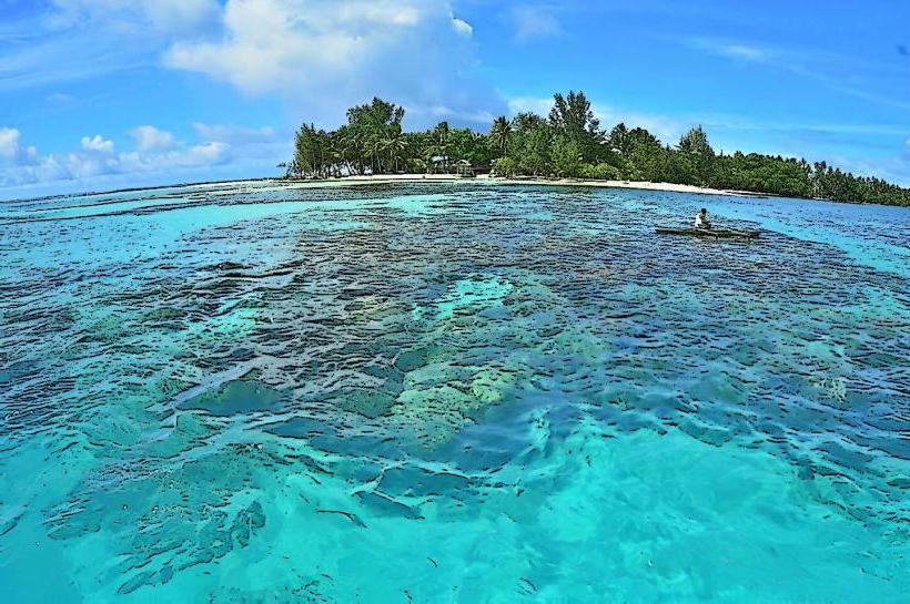
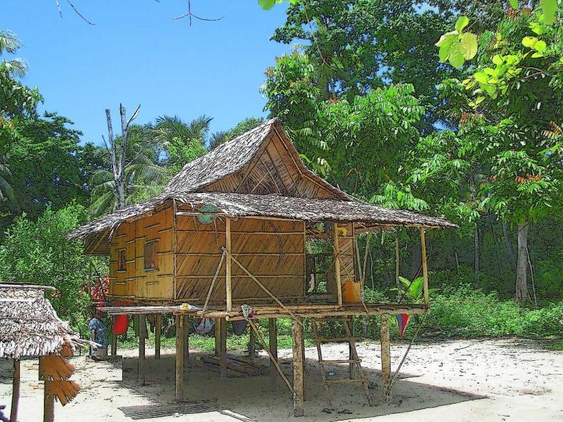
The village consists of approximately 30-40 traditional stilt houses constructed from local timber and sago palm thatch. Structures are typically single-story, with raised floors to mitigate ground moisture and insect activity. Natural vegetation, including coconut palms and breadfruit trees, surrounds the dwellings. The coastline features coral sand beaches and clear, shallow waters.
Location & Access Logistics
Tsoi Village is located approximately 15 kilometers east of Lorengau, the main town on Manus Island. Access is primarily via a dirt road that branches off the main island road. Travel time from Lorengau is approximately 30-45 minutes by 4WD vehicle. Limited parking is available near the village entrance. Public transport options are infrequent; local boat transfers from Lorengau are possible but require pre-arrangement and are subject to sea conditions.
Historical & Ecological Origin
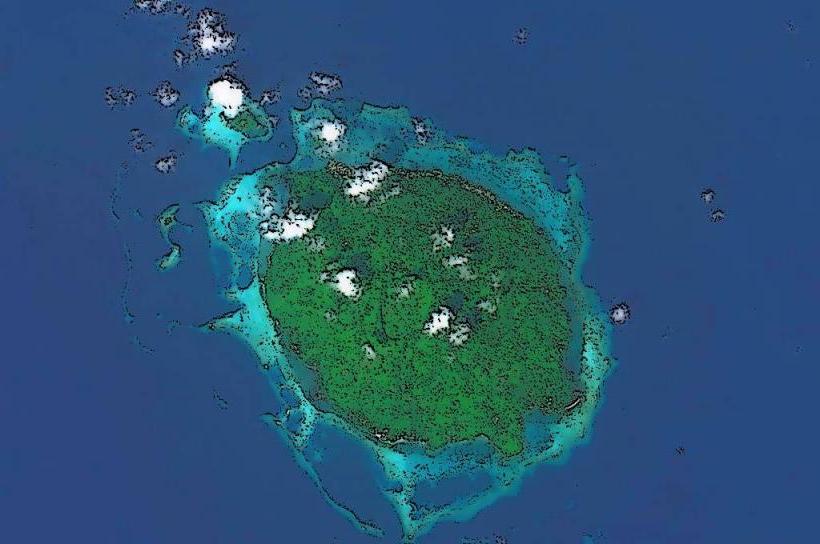
Tsoi Village represents a continuation of traditional Manus Island settlement patterns, with evidence of continuous habitation in the region for centuries. The village's location is dictated by proximity to marine resources and arable land. The surrounding marine environment is a coral reef ecosystem, supporting diverse fish populations.
Key Highlights & Activities
Visitors can observe traditional village life and architecture. Interaction with local residents is possible, often facilitated by prior arrangement. Opportunities exist for observing local fishing techniques. Swimming and snorkeling in the adjacent shallow reef waters are feasible during calm conditions.
Infrastructure & Amenities
Basic sanitation facilities, typically pit latrines, are present within the village. Shade is provided by natural tree cover and the thatched roofs of dwellings. Cell phone signal (2G/3G) is intermittent and unreliable. There are no formal food vendors within the village; arrangements for meals with local families may be possible with advance notice.
Best Time to Visit
The dry season, from June to September, offers the most favorable weather conditions with reduced rainfall. The best time of day for photography is generally mid-morning or late afternoon, avoiding harsh midday sun. High tide is preferable for swimming and snorkeling due to increased water depth over the reef.
Facts & Legends
A local legend speaks of a giant sea turtle that guided the first settlers to this location, its shell forming the shape of the nearby reef. Visitors are advised to approach residents with respect and to seek permission before taking photographs of individuals or private property.
Nearby Landmarks
- Lorengau Town (15km West)
- Baluan Island (Approx. 20km Southeast, requires boat transfer)
- Manus National Park (Various access points, approx. 10-30km West/Southwest)