Landmark: Sayor Island
City: Manus
Country: Papua New Guinea
Continent: Australia
Sayor Island, Manus, Papua New Guinea, Australia
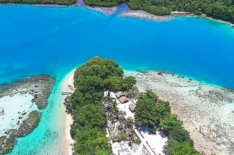
Sayor Island is a small landmass situated off the coast of Manus-island_manus" class="underline">Manus Island in Papua New Guinea.
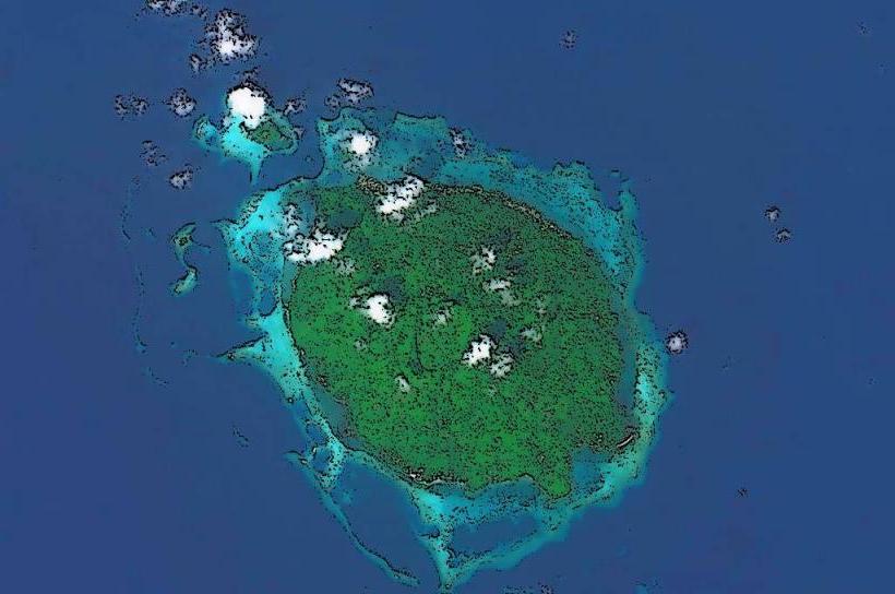
It is primarily composed of coral and volcanic rock, with a limited area of vegetation.
Visual Characteristics
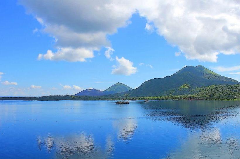
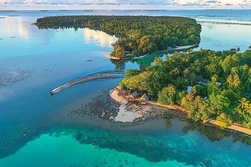
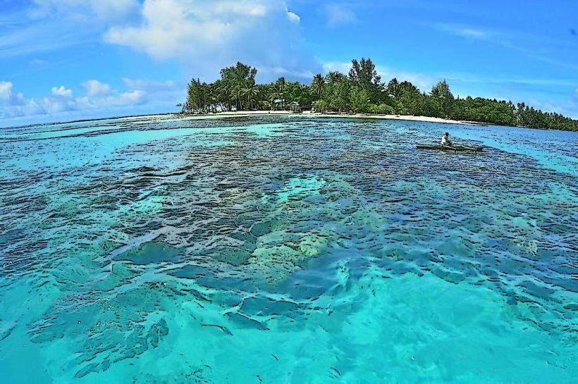
The island's perimeter consists of coral reefs and exposed volcanic rock formations. The interior features dense, low-lying vegetation, including palm trees and shrubs. The water surrounding the island is clear, with visibility often exceeding 15 meters.
Location & Access Logistics
Sayor Island is located approximately 10 kilometers west of Lorengau, the main town on Manus Island. Access is exclusively by boat. Private boat hire is available from Lorengau harbor, with a journey time of approximately 30-45 minutes depending on sea conditions. There is no designated landing facility; boats anchor offshore, and visitors transfer via dinghy. No public transport services operate to Sayor Island.
Historical & Ecological Origin
Sayor Island is a geologically recent formation, primarily a coral atoll built upon a submerged volcanic seamount. The volcanic activity that formed the seamount predates the coral growth by several millennia. The island's current structure is a result of ongoing coral accretion and the accumulation of organic matter.
Key Highlights & Activities
Snorkeling and diving are the primary activities, with coral gardens and diverse marine life accessible from the shore. Limited birdwatching opportunities exist for species endemic to the Manus region. Beachcombing along the shoreline is also possible.
Infrastructure & Amenities
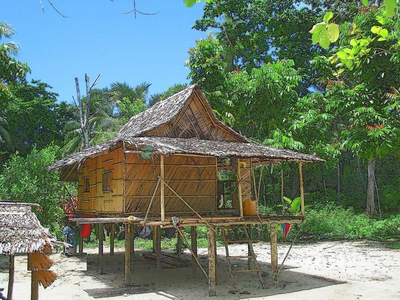
There are no permanent structures or amenities on Sayor Island. Visitors must bring all necessary supplies, including food, water, and sun protection. Cell phone signal is generally unreliable.
Best Time to Visit
The best time for water activities is during the dry season, from July to October, when sea conditions are typically calmer. Visibility for snorkeling and diving is generally optimal between 10:00 AM and 2:00 PM due to direct sunlight penetration.
Facts & Legends
Local lore suggests that the island was once a resting place for ancestral spirits. A specific navigational marker, a distinctively shaped rock formation on the western edge, is said to have been placed by these spirits to guide returning fishermen.
Nearby Landmarks
- Lorengau Town (10km East)
- Baluan Island (25km South-East)
- Manus Island National Park (15km North-East)