Landmark: Manus Island
City: Manus
Country: Papua New Guinea
Continent: Australia
Manus Island, Manus, Papua New Guinea, Australia
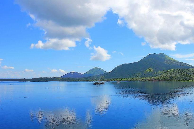
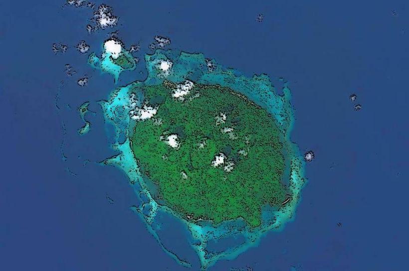
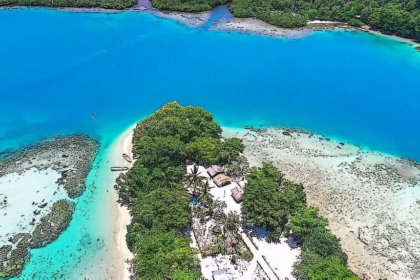
Manus Island is the largest island in the Admiralty Islands archipelago, located in the Bismarck Sea, Papua New Guinea.
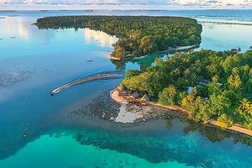
It is a significant landmass characterized by its tropical rainforest and coastal areas.
Visual Characteristics
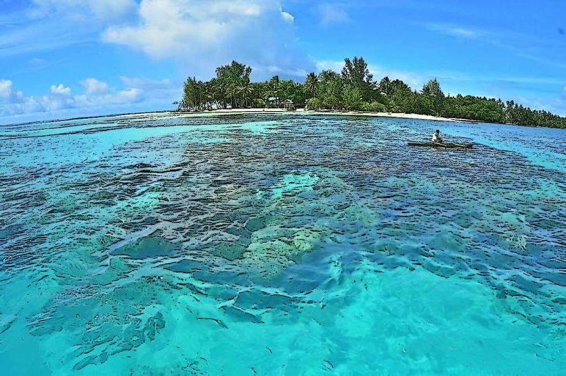
Manus Island is predominantly covered by dense tropical rainforest. The coastline features sandy beaches and coral reefs. The island's topography includes volcanic hills and low-lying coastal plains. Average elevation is approximately 100 meters above sea level.
Location & Access Logistics
Manus Island is situated approximately 200 kilometers north of the Papua New Guinea mainland. Access is primarily via air to Momote Airport (MAS) on Los Negros Island, which is connected to Manus Island by a causeway. Limited ferry services operate between Manus and other islands in the region. There are no major road networks connecting to the mainland. Local transport on the island consists of taxis and private vehicles. Parking is available at Momote Airport and in the main settlement of Lorengau.
Historical & Ecological Origin
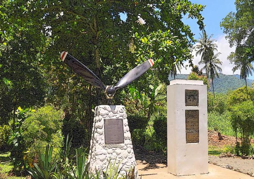
Manus Island is of volcanic origin, formed by a complex geological history involving tectonic plate movement. The island's ecosystem is a tropical rainforest, supporting a diverse range of flora and fauna. Historically, the island was inhabited by indigenous Papuan peoples for millennia. During World War II, it served as a major Allied naval base.
Key Highlights & Activities
Activities include diving and snorkeling in the surrounding coral reefs, particularly in areas like the Vitu Islands. Birdwatching is possible within the rainforest interior. Exploring the WWII historical sites, such as the remains of the naval base, is an option. Visiting the local villages to observe traditional culture is also undertaken.
Infrastructure & Amenities
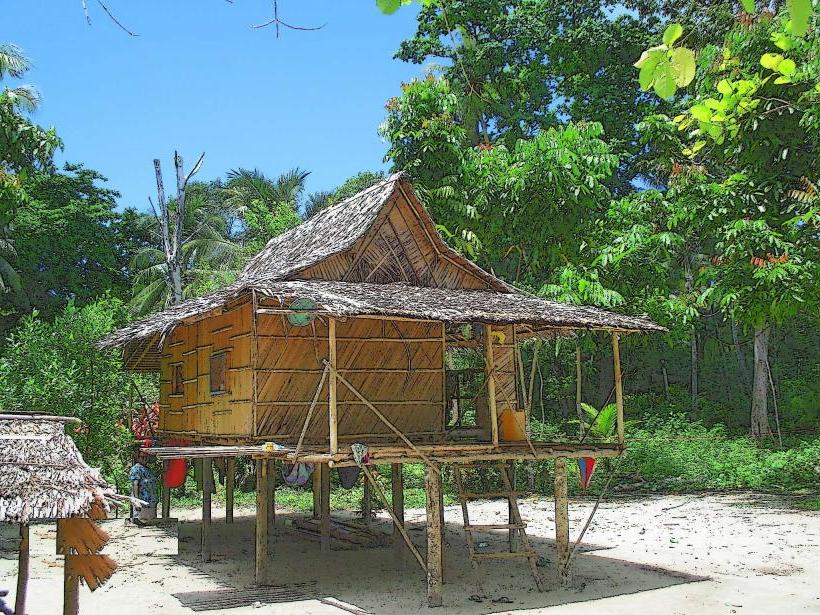
Basic infrastructure is present in Lorengau, including guesthouses and small shops. Restrooms are available at Momote Airport and in Lorengau. Shade is provided by the rainforest canopy and structures in settlements. Cell phone signal (2G/3G) is available in Lorengau and near Momote Airport, but coverage is inconsistent across the island. Food vendors are primarily located in Lorengau.
Best Time to Visit
The dry season, from June to September, offers the most favorable weather conditions with less rainfall. The wet season, from December to March, can experience heavy downpours. For diving and snorkeling, visibility is generally good year-round, but calm seas are more common during the dry season. Lighting for photography is best in the early morning and late afternoon.
Facts & Legends
Manus Island was the site of a controversial Australian immigration detention center that operated from 2001 to 2004 and again from 2012 to 2021. Local folklore includes stories of sea spirits and ancestral beings associated with the island's natural formations.
Nearby Landmarks
- Los Negros Island (0.5km East)
- Lou Island (25km North)
- Baluan Island (40km South)
- Wuvulu Island (100km West)