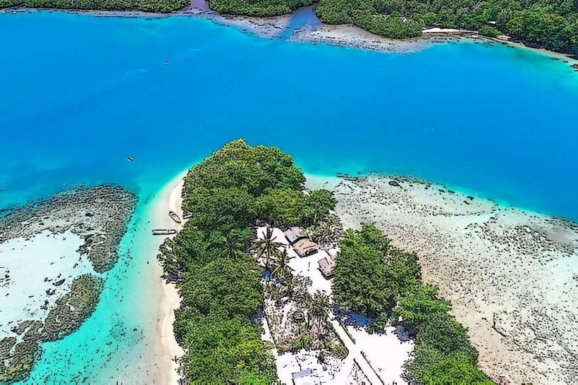
Landmark: Rapatona Island
City: Manus
Country: Papua New Guinea
Continent: Australia
Rapatona Island, Manus, Papua New Guinea, Australia
Rapatona Island is a landmass situated within the Manus Province of Papua New Guinea.
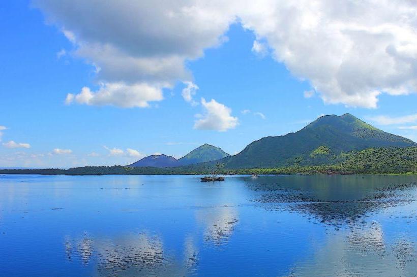
This island is characterized by its tropical vegetation and proximity to the Manus coastline.
Visual Characteristics
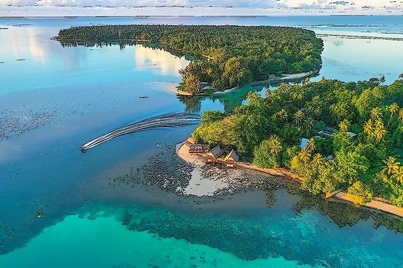
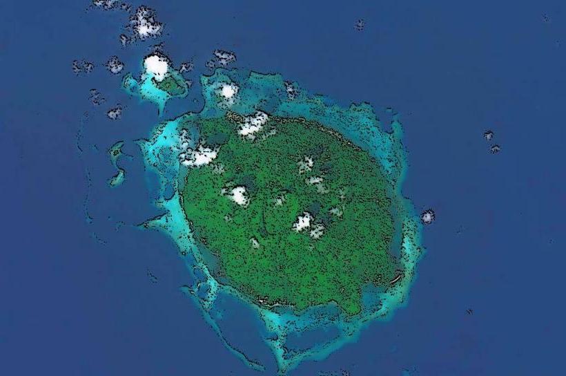
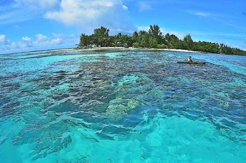
Rapatona Island is covered in dense, green tropical foliage. The island's coastline consists of sandy beaches and shallow reef areas. The water surrounding the island is typically clear, with varying shades of blue and green depending on depth and sunlight.
Location & Access Logistics
Rapatona Island is located approximately 15 kilometers west of Lorengau, the capital of Manus Province. Access is primarily via boat. Private boat hire is available from Lorengau harbor, with a journey time of approximately 30-45 minutes depending on sea conditions. There are no public ferry services directly to Rapatona Island. No dedicated parking facilities exist on the island itself; boat operators typically manage vehicle parking in Lorengau.
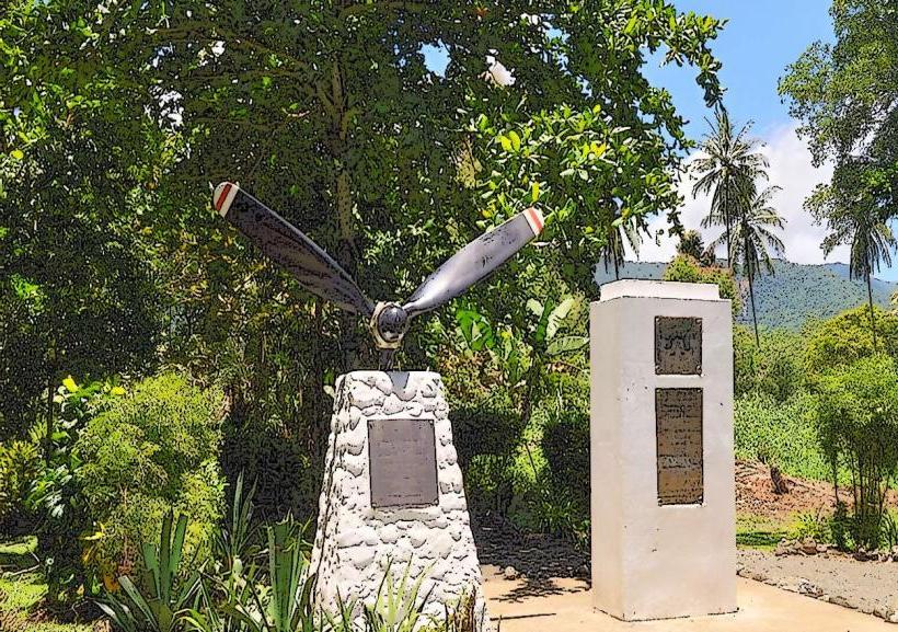
Historical & Ecological Origin
Rapatona Island is a natural land formation, likely of volcanic origin, consistent with the geology of the Manus Province. Its ecological classification is that of a small tropical island ecosystem, supporting a variety of plant and animal life adapted to this environment.
Key Highlights & Activities
Snorkeling is possible in the shallow reef areas surrounding the island, particularly during calm weather. Limited beach access is available for relaxation. Exploration of the island's interior is restricted due to dense vegetation.
Infrastructure & Amenities
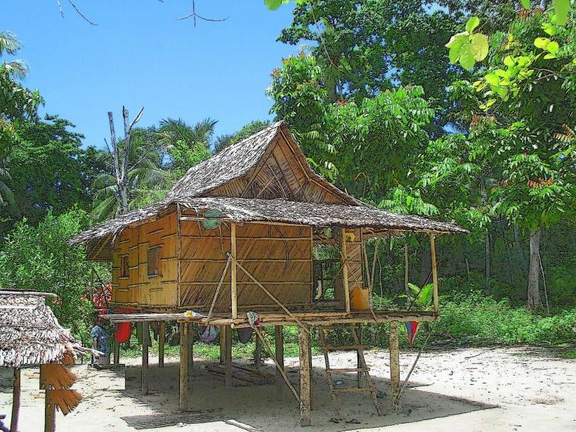
There are no permanent structures or facilities on Rapatona Island. Visitors should bring all necessary supplies, including food, water, and sun protection. Cell phone signal is generally unreliable on the island.
Best Time to Visit
The dry season, from June to September, offers the most favorable weather conditions with reduced rainfall and calmer seas. The best time of day for visibility in the water for snorkeling is between 10:00 AM and 2:00 PM, when sunlight penetration is optimal. Low tide can expose more of the reef structure.
Facts & Legends
Local lore suggests that Rapatona Island was once a resting place for ancient mariners navigating the waters of Manus. A specific tip for visitors is to be aware of the coral formations when entering the water, as some areas can be shallow.
Nearby Landmarks
- Lorengau Town (15km East)
- Manus Provincial Museum (16km East)
- Baluan Island (25km Southeast)
- Ndrolu Island (10km Northeast)