Landmark: Mount Kigali
City: Kigali
Country: Rwanda
Continent: Africa
Mount Kigali, Kigali, Rwanda, Africa
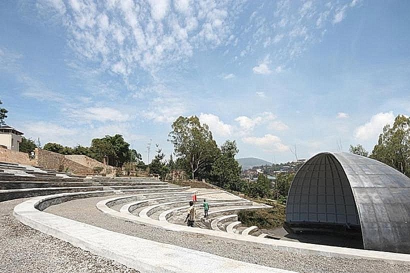
Mount Kigali is the highest point in the Rwandan capital, situated in the western part of the city within the Nyarugenge district. It serves as a primary geographical landmark and a recreational zone for hiking and outdoor activities.
Visual Characteristics
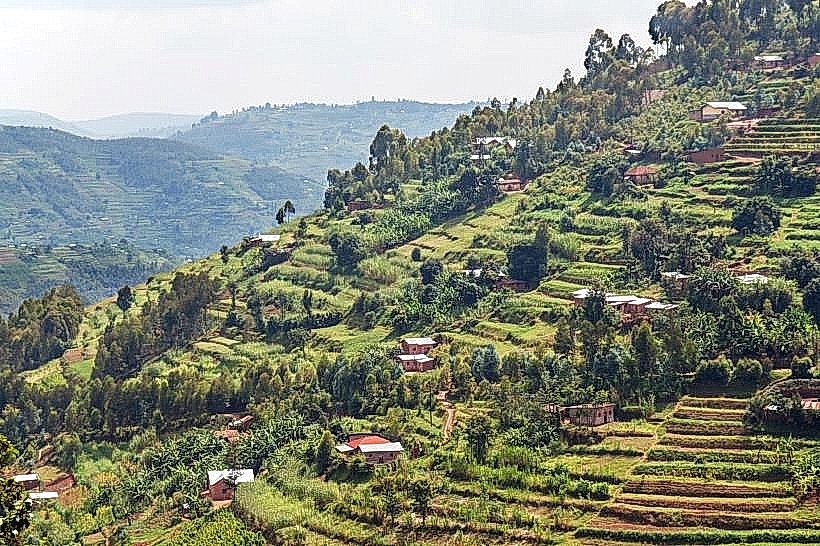
The mountain features steep slopes covered in dense eucalyptus forests and terraced agricultural plots. The summit provides a 360-degree panoramic view of the Kigali skyline and the Nyabarongo River wetlands. The terrain consists of red volcanic soil, rocky outcrops, and a network of both paved and red-clay dirt tracks.
Location & Access Logistics
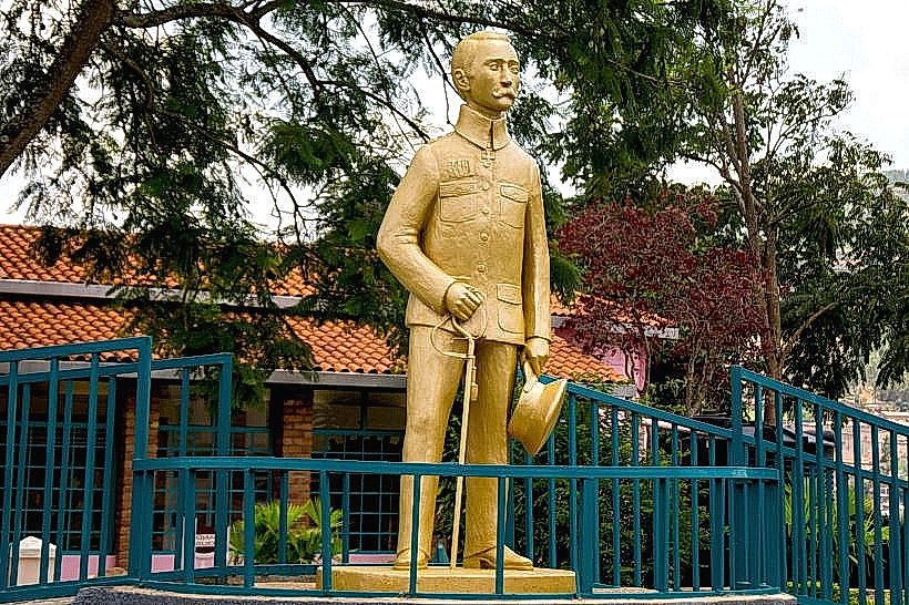
Access is primarily via the Nyamirambo neighborhood. From the city center, the route follows the main road through Nyamirambo, ascending via paved roads that transition into gravel near the top. Visitors arrive by private 4WD vehicle, taxi, or motorcycle taxi. Public buses stop at the Nyamirambo terminal, requiring a 3km uphill hike to reach the peak.
Historical & Ecological Origin
Geologically, the mountain is part of the ancient metamorphic rock formations of the Rwanda-Burundi highlands. Historically, the slopes were used for traditional farming and as strategic military lookout points. Recent government reforestation programs using eucalyptus trees have created a green buffer to prevent soil erosion for the urban population.
Key Highlights & Activities
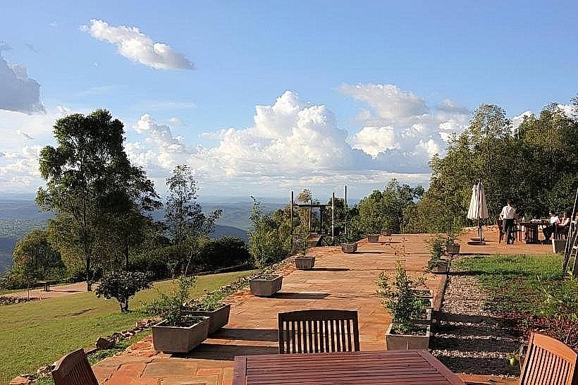
Hiking and trekking are the primary activities, with several trails leading to the summit. The Fazenda Sengha park near the top offers guided horseback riding and ziplining through the forest canopy. The peak is a primary location for wide-angle photography of the Kigali city expanse.
Infrastructure & Amenities
The summit area contains a few specialized recreational facilities and a small café at the equestrian center. Public restrooms are only available within these private establishments. There is no formal public shade or seating on the trails. 5G cellular signals are strong across the mountain due to telecommunication towers at the peak.
Best Time to Visit
The best months for hiking are the dry seasons from June to September and December to February to avoid slippery clay paths. Early morning between 6:00 AM and 9:00 AM is optimal for cooler temperatures. Sunset is the preferred time for photography, though descent before dark is advised as trails are not illuminated.
Facts & Legends
Despite its name, Mount Kigali is technically a large hill within a plateau system rather than a volcanic mountain. It remains the highest point in the city at approximately 1,850 meters above sea level. Local tradition suggests the mountain was a site for rituals and royal gatherings prior to the colonial era.
Nearby Landmarks
Fazenda Sengha: 0.2km North
Kandt House Museum: 3.5km East
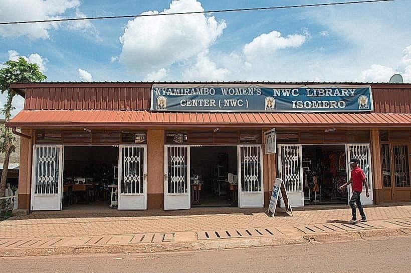
Nyamirambo Women's Center: 2.8km Southeast
Kigali City Tower: 4.5km East
Nyamirambo Stadium: 3.1km South