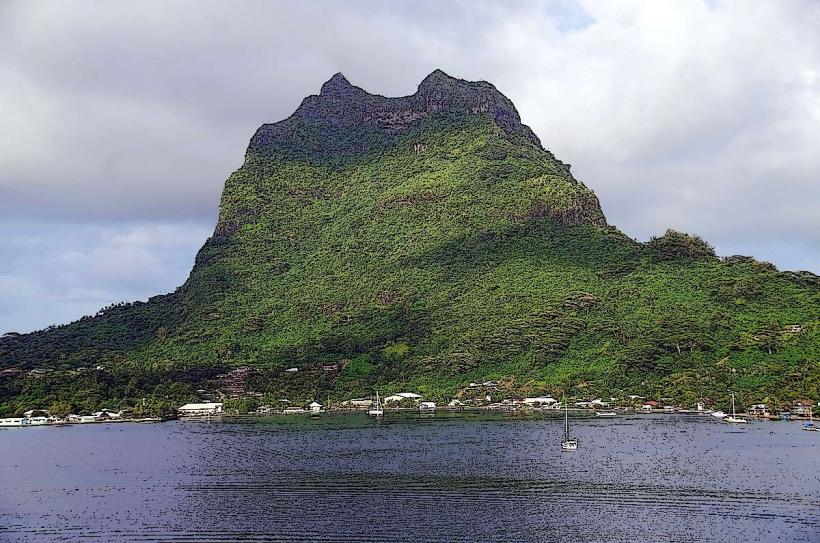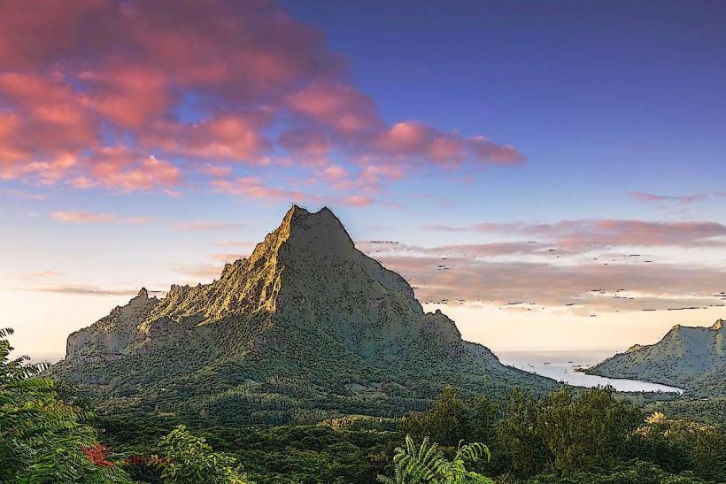
Landmark: Mount Rotui
City: Moorea
Country: French Polynesia
Continent: Australia
Mount Rotui, Moorea, French Polynesia, Australia
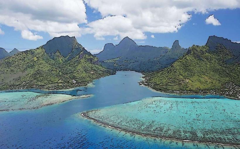
Mount Rotui is a prominent peak located on the island of Moorea in French Polynesia. It forms a central geological feature of the island.
Visual Characteristics
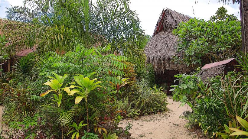
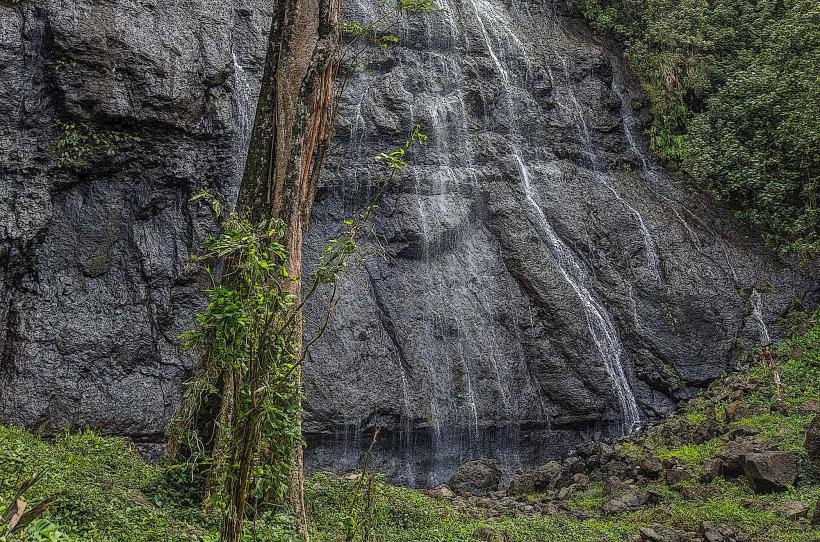
Mount Rotui presents as a steep, verdant volcanic massif. Its slopes are covered in dense tropical vegetation, primarily composed of ferns, palms, and flowering shrubs. The rock faces are primarily basaltic, with exposed sections showing dark grey and brown hues. The summit reaches an elevation of 899 meters (2,949 feet).
Location & Access Logistics
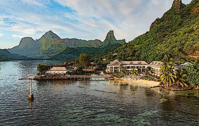
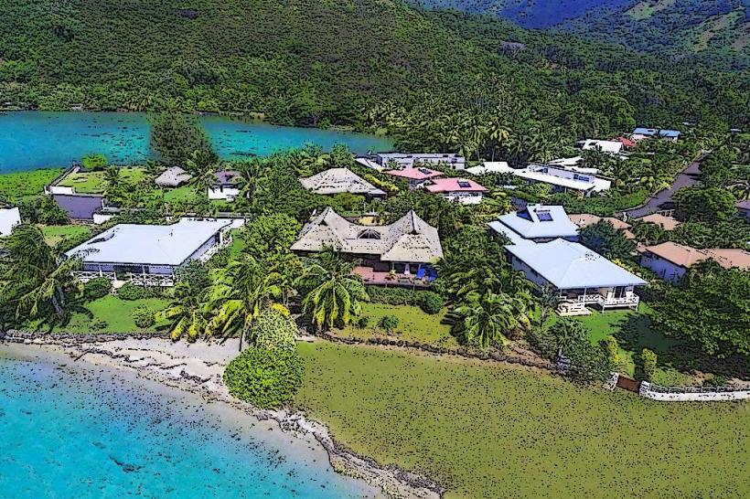
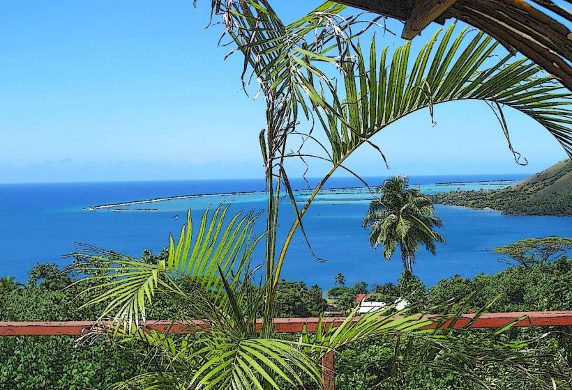
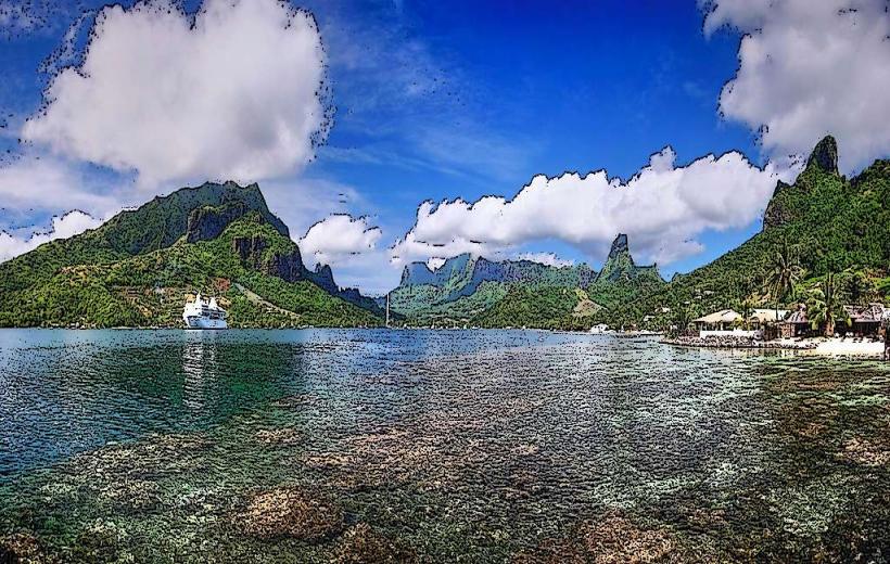
Mount Rotui is situated between Opunohu Bay and Cook's Bay on Moorea's northern coast. Access to the trailhead is via a paved road leading from the main coastal road (Route Principale 1). The turn-off for the Mount Rotui trail is approximately 15 kilometers west of Maharepa village. Parking is available at the trailhead, which is a small, unpaved area. Public transport does not directly service the trailhead; visitors typically use rental cars or taxis.
Historical & Ecological Origin
Mount Rotui is the remnant of a volcanic caldera that formed approximately 2.5 million years ago. It is composed of basaltic lava flows and volcanic ash. Ecologically, it represents a tropical montane forest ecosystem, supporting a variety of endemic and introduced plant species.
Key Highlights & Activities
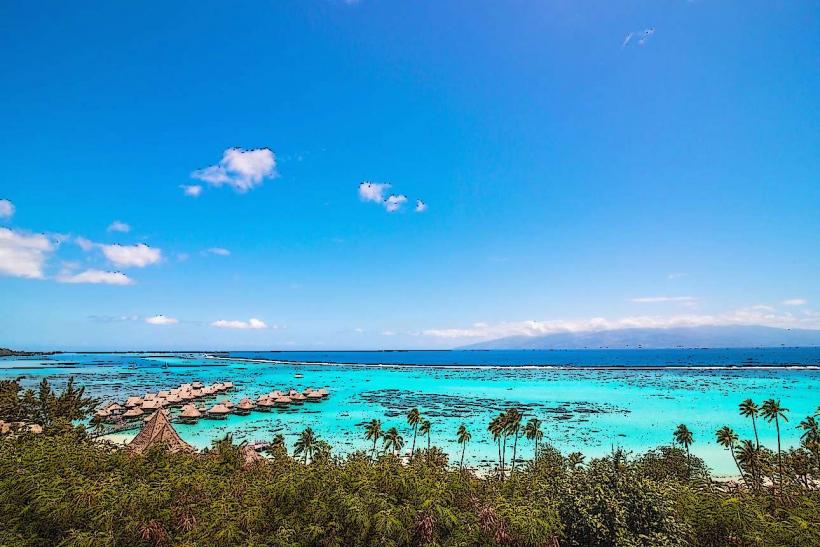
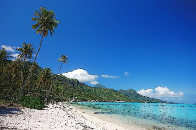
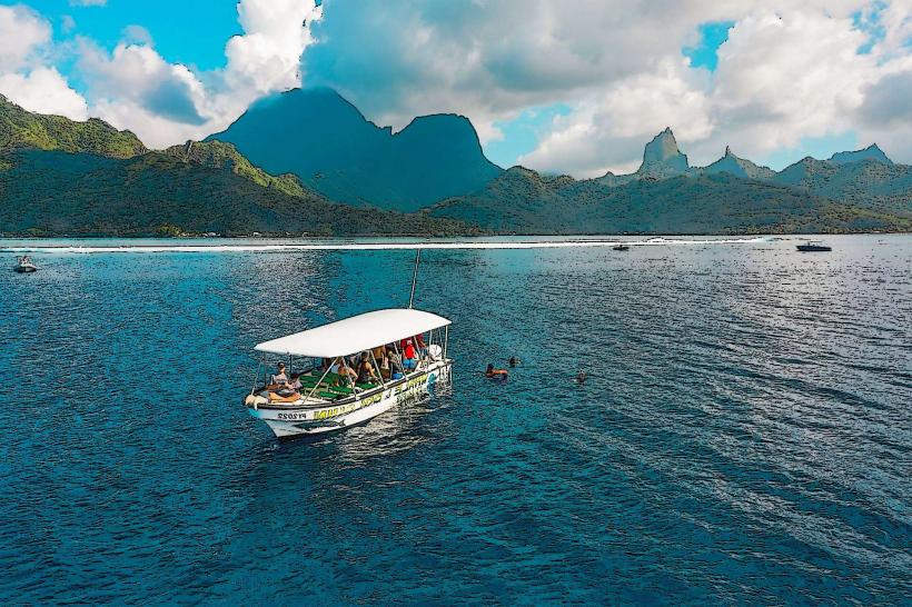
The primary activity is hiking the Mount Rotui trail. The trail is approximately 3 kilometers (1.8 miles) one way and is considered moderately strenuous. The hike leads to a saddle between two peaks, offering panoramic views of Opunohu Bay and Cook's Bay. The summit itself is accessible via a more challenging, unmarked path. Photography is a common activity due to the elevated viewpoints.
Infrastructure & Amenities
The trailhead has no dedicated facilities. Restrooms are not available at the start of the hike. Shade is limited along the trail, particularly on the upper sections. Cell phone signal (4G/5G) is generally available at the trailhead and intermittently along the lower parts of the trail, but can be unreliable at higher elevations. No food vendors are present at the trailhead.
Best Time to Visit
The best time of day for photography is in the morning, between 8:00 AM and 10:00 AM, when the sun illuminates the bays from the east. The best months for hiking are during the dry season, from May to October, to minimize the risk of slippery conditions. The trail can be muddy and hazardous after rainfall.
Facts & Legends
Local legend states that Mount Rotui was once a giant who was turned into stone. A specific tip for hikers is to carry at least 1.5 liters of water per person, as there are no water sources along the trail.
Nearby Landmarks
- Opunohu Bay (0.8km West)
- Cook's Bay (1.2km East)
- Belvedere Lookout (2.5km Southwest)
- Moorea Tropical Garden (3.1km West)
- Ananas Plantation (3.5km West)