Landmark: Opunohu Bay
City: Moorea
Country: French Polynesia
Continent: Australia
Opunohu Bay, Moorea, French Polynesia, Australia
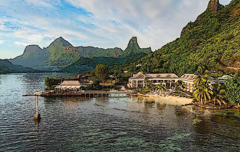
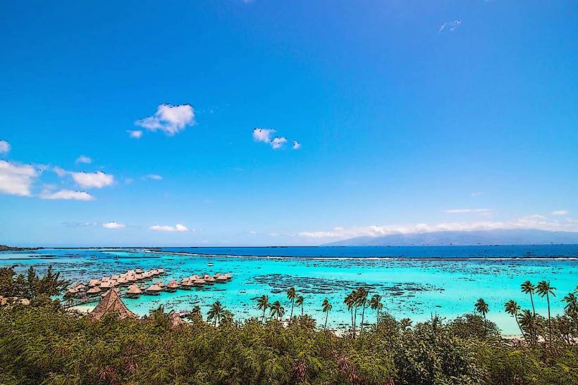
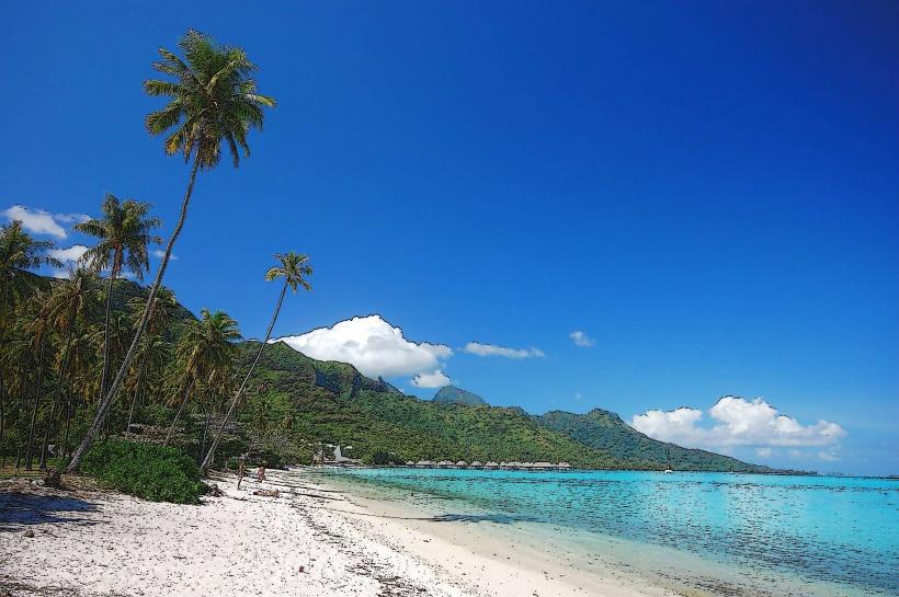
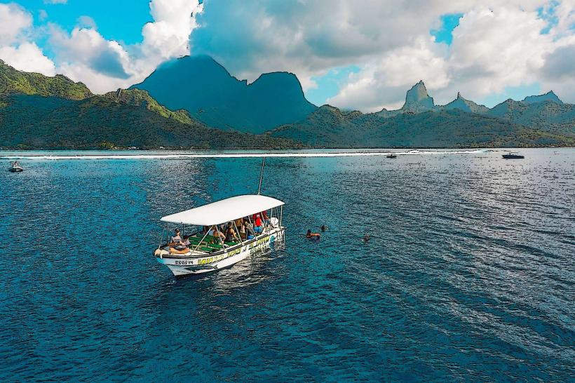
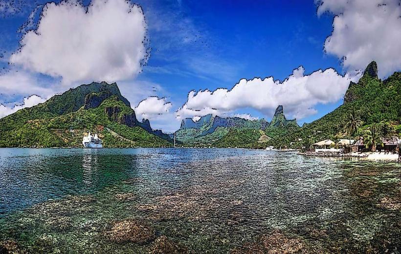
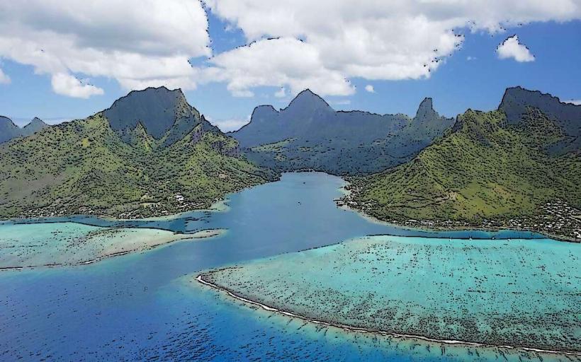
Opunohu Bay is a natural harbor located on the northern coast of the island of Moorea in French Polynesia. It is characterized by its deep, sheltered waters and surrounding volcanic peaks.
Visual Characteristics
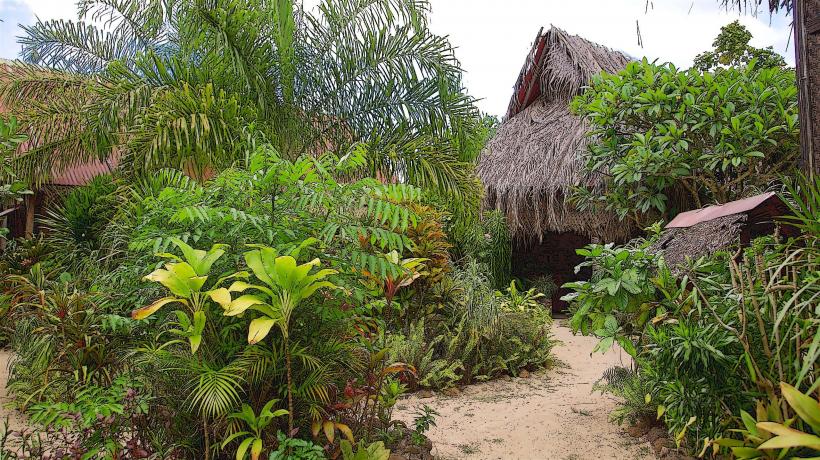
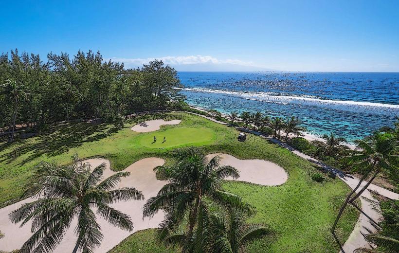
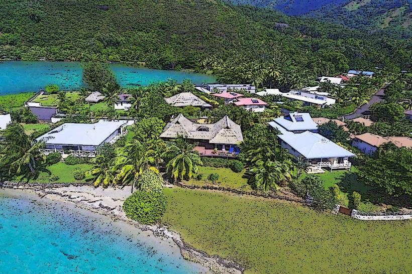
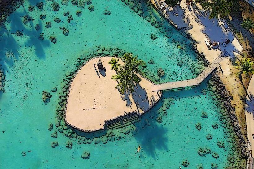
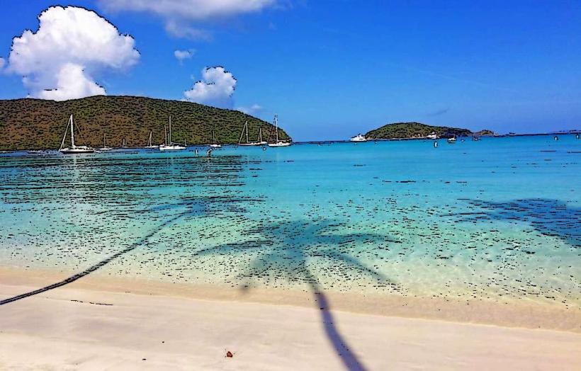
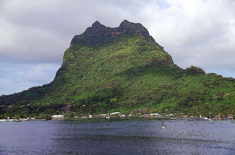
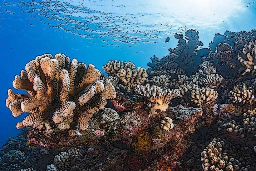
The bay features clear, turquoise water with a sandy bottom in shallower areas and coral formations in deeper sections. The shoreline is fringed with dense tropical vegetation, including coconut palms and breadfruit trees. Steep, verdant volcanic slopes rise directly from the bay's perimeter, with Mount Rotui dominating the western side.
Location & Access Logistics
Opunohu Bay is situated approximately 15 kilometers west of Maharepa, the main administrative center of Moorea. Access is via the main island road, Route Principale 1. Several unpaved access points lead down to the bay's edge, suitable for passenger vehicles. Parking is available at designated pull-offs along these access roads. Public transport options are limited; rental cars or scooters are the most practical means of reaching the bay.
Historical & Ecological Origin
Opunohu Bay is a drowned caldera, formed by the erosion of ancient volcanic craters. Its geological history dates back millions of years. Historically, the bay served as a significant anchorage for Polynesian voyagers and later for European explorers. Archaeological evidence suggests early settlement in the surrounding areas.
Key Highlights & Activities
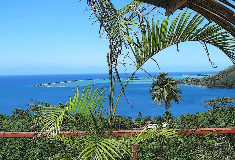
Activities include snorkeling and diving around the coral gardens. Kayaking and paddleboarding are possible within the sheltered waters. Boat tours often stop at the bay for swimming and wildlife observation. Hiking trails ascend the slopes of Mount Rotui, offering elevated views of the bay and surrounding islands.
Infrastructure & Amenities
Limited amenities are present directly at the bay. Restrooms are available at a small public park area on the eastern side. Shade is provided by natural tree cover. Cell phone signal (4G) is generally available. Food vendors are not permanently stationed at the bay, but nearby resorts and villages offer dining options.
Best Time to Visit
The best time for water activities is during the dry season, from May to October, when rainfall is minimal. Mid-morning offers good lighting for underwater photography. High tide is generally preferred for accessing shallower snorkeling spots.
Facts & Legends
Local lore suggests that Opunohu Bay was a sacred site for ancient Polynesian chiefs. A specific point on the western shore is said to be where the god Hiro landed his canoe. The bay's name, "Opunohu," is believed to derive from the Tahitian word for "nose of the turtle," referencing the shape of the landmass at its entrance.
Nearby Landmarks
- Cook's Bay (0.8km East)
- Belvedere Lookout (2.5km Southwest)
- Mount Rotui (1.2km West)
- Moorea Tropical Garden (3.1km Southeast)
- Marae Ahu'oa (1.9km South)