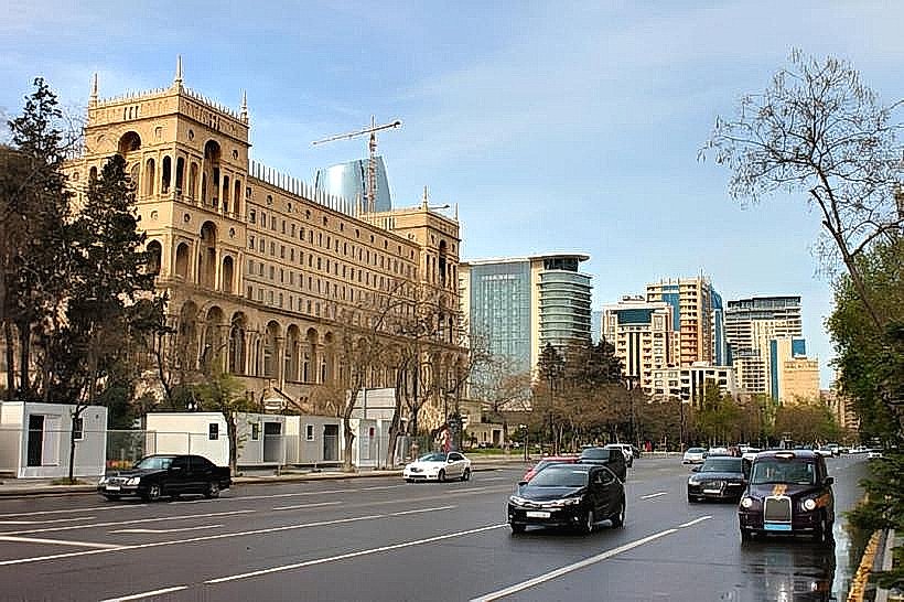
Landmark: Neftchilar Avenue
City: Baku
Country: Azerbaijan
Continent: Asia
Neftchilar Avenue, Baku, Azerbaijan, Asia
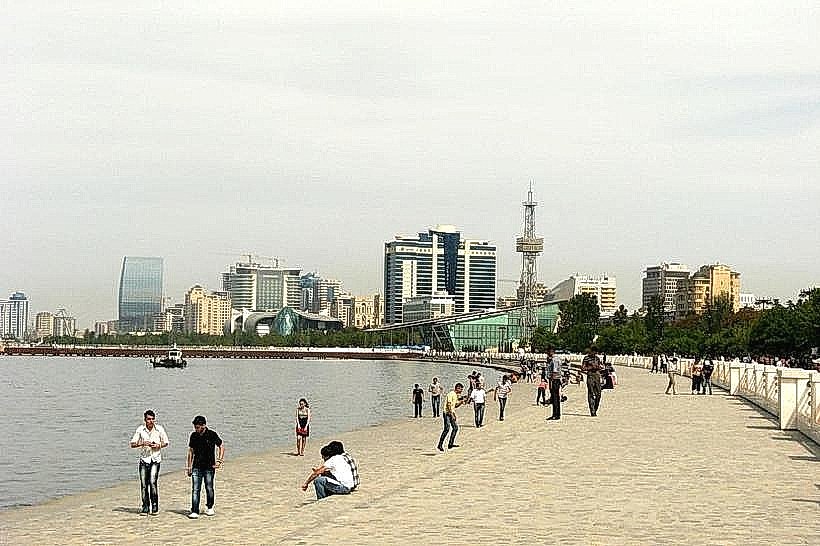
Neftchilar Avenue is a major thoroughfare in Baku, Azerbaijan, running along the Caspian Sea coast.
This avenue serves as a primary artery for the city, connecting key districts and offering extensive views of the waterfront.
Visual Characteristics
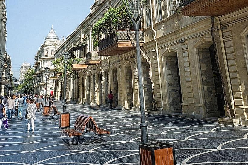
The avenue is characterized by wide, multi-lane roadways bordered by sidewalks and green spaces. Architectural styles along the avenue vary, featuring a mix of Soviet-era apartment blocks, modern high-rise buildings, and administrative structures. The dominant colors are often muted grays and beiges of concrete and stone, contrasted with the blue of the Caspian Sea. Street lighting is consistent, and decorative elements include fountains and sculptures.
Location & Access Logistics
Neftchilar Avenue is situated in the central and southeastern parts of Baku, extending approximately 10 kilometers from the Port of Baku in the west to the Heydar Aliyev International Airport in the east. It is accessible via the M1 highway and is a central point for navigating the city. Public transport includes numerous bus routes (e.g., 1, 4, 6, 18, 37) that traverse the avenue. The Baku Metro has several stations near the avenue, including Sahil, 28 May, and Ganjlik, requiring a short walk or bus transfer. Parking is available in designated lots and on some side streets, though it can be limited during peak hours.
Historical & Ecological Origin
The development of Neftchilar Avenue is intrinsically linked to Baku's oil boom and its subsequent urban planning. While specific construction dates for the entire length are not consolidated, significant portions were developed during the Soviet period to facilitate access to industrial areas and the port. The avenue's ecological context is its direct interface with the Caspian Sea, a large saline lake with a unique ecosystem. The land itself is part of the Absheron Peninsula, characterized by a semi-arid climate and geological formations associated with oil and gas deposits.
Key Highlights & Activities
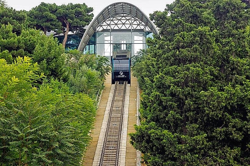
Walking or cycling along the Caspian Sea promenade adjacent to the avenue. Visiting the Azerbaijan National Carpet Museum, located on the promenade. Observing the Flame Towers, a prominent architectural landmark visible from the avenue. Accessing the Baku Boulevard, a long seaside park with recreational facilities. Photography of the city skyline and the Caspian Sea.
Infrastructure & Amenities
Restrooms are available within the Baku Boulevard and at some public facilities along the avenue. Shade is provided by trees in the park areas and by building overhangs. Cell phone signal (4G/5G) is generally strong throughout the avenue. Food vendors and cafes are present within the Baku Boulevard and in commercial establishments lining the avenue.
Best Time to Visit
For photography, early morning (sunrise) and late afternoon (sunset) offer optimal lighting conditions. The best months for visiting are from April to June and September to October, when temperatures are moderate. Summer months (July-August) can be very hot. High tide or low tide of the Caspian Sea does not significantly impact access or activities along the avenue itself.
Facts & Legends
The name "Neftchilar" translates to "Oil Workers" in Azerbaijani, reflecting the avenue's historical connection to the oil industry that fueled Baku's growth. A specific "secret" tip is to explore the smaller side streets branching off the avenue to discover local architecture and less crowded cafes.
Nearby Landmarks
- Azerbaijan National Carpet Museum (0.2km South)
- Flame Towers (1.5km West)
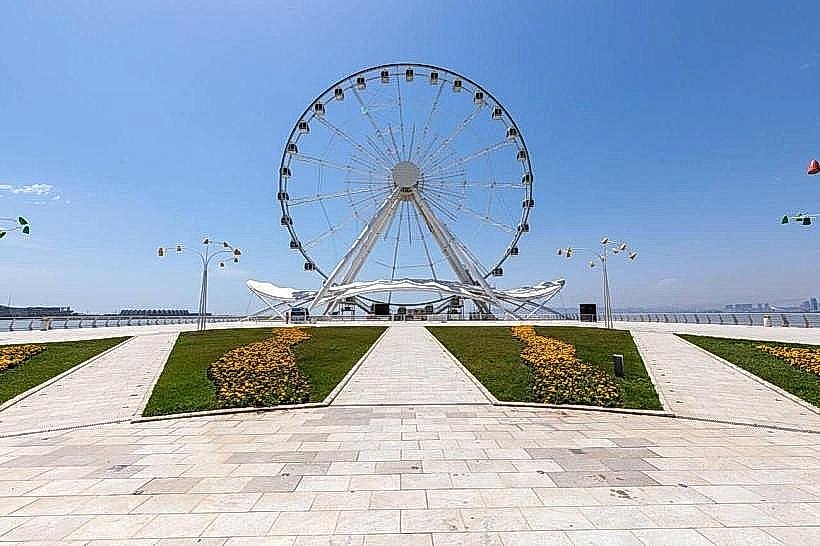
- Baku Ferris Wheel (1.0km South)
- Palace of Handshake (0.8km West)
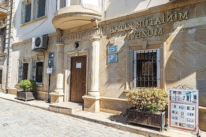
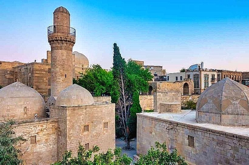
- Old City (Icherisheher) (2.0km West)