Landmark: Red Rock Canyon National Conservation Area
City: Las Vegas
Country: USA Nevada
Continent: North America
Red Rock Canyon National Conservation Area, Las Vegas, USA Nevada, North America
Red Rock Canyon National Conservation Area is a protected geological formation located approximately 25 kilometers west of Las Vegas, Nevada.
This area features a 13-mile scenic drive that winds through a landscape of colorful rock formations and desert flora.
Visual Characteristics
The conservation area is characterized by Aztec Sandstone formations, displaying hues of red, orange, and cream. These formations reach heights of up to 3,000 feet. The landscape includes desert scrub, Joshua trees, and various cacti. The elevation ranges from approximately 3,000 to 8,000 feet above sea level.
Location & Access Logistics
Access is via State Route 159 (West Charleston Boulevard) from Las Vegas. The entrance to the scenic drive is located at the intersection of State Route 159 and the signed Scenic Drive. Parking is available at designated pull-offs along the scenic drive and at the Visitor Center. Public transport options are not available directly to the conservation area; private vehicle or ride-sharing services are the primary means of access.
Historical & Ecological Origin
The Aztec Sandstone formations are the result of ancient sand dunes that lithified over millions of years, followed by uplift and erosion. The area is classified as a Mojave Desert ecosystem, supporting a variety of desert-adapted plant and animal species.
Key Highlights & Activities
Activities include driving the 13-mile scenic loop, hiking on designated trails such as the Calico Tanks Trail or the White Rock Loop Trail, rock climbing at designated areas, and wildlife viewing. Photography is a common activity, particularly during sunrise and sunset.
Infrastructure & Amenities
Restrooms are available at the Visitor Center and at several designated picnic areas along the scenic drive. Shade structures are present at picnic areas. Cell phone signal (4G/5G) is intermittent and generally unreliable within the conservation area. No food vendors are located within the conservation area; visitors should bring their own provisions.
Best Time to Visit
The best time of day for photography is early morning or late afternoon when the low-angle sunlight enhances the color of the rock formations. The most favorable months for visiting are October through April, avoiding the extreme summer heat. High tide is not a relevant factor for this inland location.
Facts & Legends
The conservation area is known for its bighorn sheep population, which can often be observed near the roadside, particularly in the early morning. A specific tip for visitors is to check the Bureau of Land Management (BLM) website for potential timed entry requirements, especially during peak seasons.
Nearby Landmarks
- Springs Preserve (18km East)
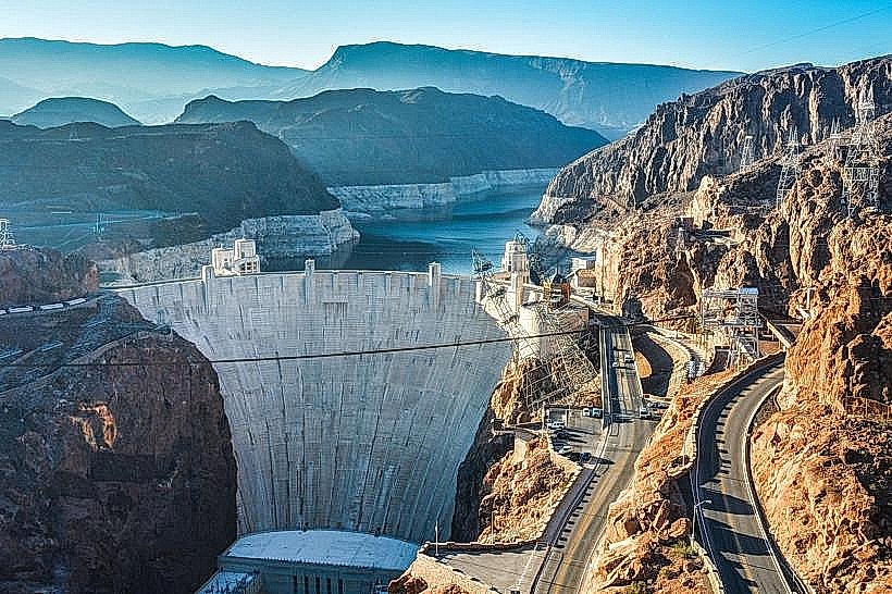
- Hoover Dam (55km Southeast)
- Valley of Fire State Park (80km Northeast)
- Mount Charleston Wilderness (30km Northwest)