Landmark: Abajo Mountains
City: Monticello
Country: USA Utah
Continent: North America
Abajo Mountains, Monticello, USA Utah, North America
The Abajo Mountains are a mountain range located in San Juan County, Utah, southeast of Monticello.
This range is characterized by its high elevation, forested slopes, and numerous peaks.
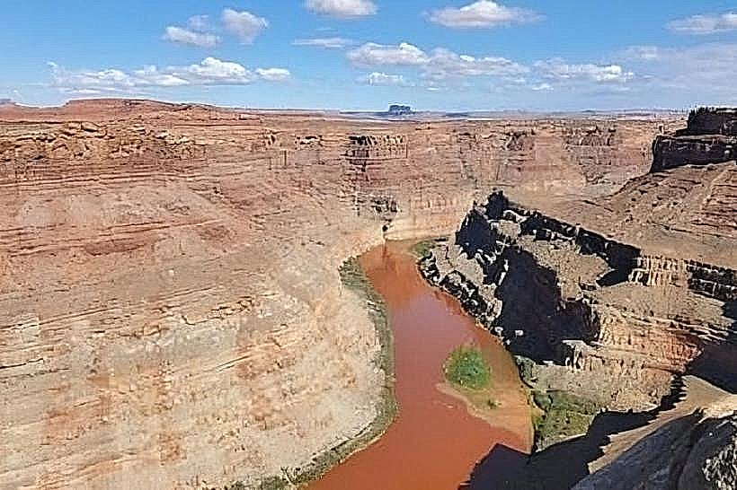
Visual Characteristics
The Abajo Mountains are composed primarily of sedimentary rock, with some volcanic intrusions. The dominant vegetation consists of coniferous forests, including ponderosa pine, Douglas fir, and aspen groves at lower elevations. Peaks reach elevations over 11,000 feet, with exposed rock faces and scree slopes visible at higher altitudes. Snowpack is typically present on the highest peaks from late autumn through early spring.
Location & Access Logistics
The Abajo Mountains are situated approximately 15 miles southeast of Monticello, Utah. Access is primarily via State Route 191, turning onto county roads such as the Abajo Loop Road (Forest Road 110). This gravel road circumnavigates the range and provides access to trailheads and viewpoints. Monticello offers the closest services, including fuel and basic supplies. Parking is available at designated trailheads and pull-offs along the Abajo Loop Road. No public transport services the Abajo Mountains.
Historical & Ecological Origin
The Abajo Mountains are an uplifted block of sedimentary rock, primarily Navajo Sandstone and Entrada Sandstone, with evidence of Laramide orogeny uplift. Volcanic activity also played a role in shaping the range. Ecologically, the mountains represent a transition zone between the high desert environment of southeastern Utah and montane ecosystems, supporting diverse flora and fauna adapted to varying elevations and precipitation levels.
Key Highlights & Activities
Hiking is possible on numerous trails, including the Abajo Peak Trail for summit views. Fishing is available in high-elevation lakes such as Duck Lake and Warner Lake. Wildlife observation, particularly for deer, elk, and various bird species, is a common activity. Scenic driving along the Abajo Loop Road offers panoramic views of the surrounding landscape.
Infrastructure & Amenities
Restrooms are available at some developed campgrounds and picnic areas, such as those near Duck Lake. Shade is abundant within the forested areas. Cell phone signal is intermittent and generally unavailable at higher elevations or in remote areas. Food vendors are not present within the mountain range; provisions should be obtained in Monticello.
Best Time to Visit
The best months for visiting the Abajo Mountains are from June through September, when most roads and trails are clear of snow. For photography, early morning and late afternoon light provides optimal illumination of the landscape. High tide is not a relevant factor for this mountain range.
Facts & Legends
The Abajo Mountains are sometimes referred to as the "Blue Mountains" due to the bluish haze often seen from a distance, caused by atmospheric scattering of light. A local legend speaks of a lost Spanish treasure buried somewhere within the range, though no verifiable evidence supports this claim.
Nearby Landmarks
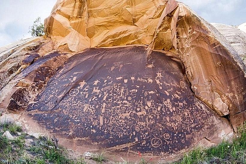
- Newspaper Rock State Historical Monument (15km Northwest)
- Manti-La Sal National Forest - Monticello Ranger District Office (10km Southwest)
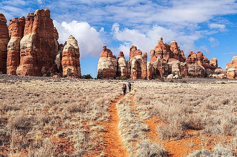
- Bears Ears National Monument (40km West)
- Valley of the Gods (50km Southwest)
- Goosenecks State Park (60km Southwest)