Landmark: Canyonlands Needles District
City: Monticello
Country: USA Utah
Continent: North America
Canyonlands Needles District, Monticello, USA Utah, North America
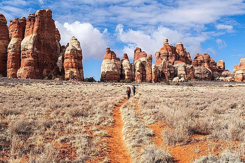
The Needles District is a section of Canyonlands National Park located in southeastern Utah, USA. It is characterized by its distinct sandstone spires and canyons.
Visual Characteristics
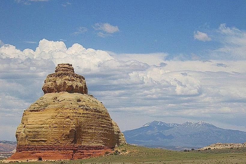
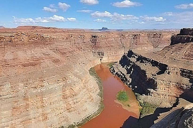
The landscape features numerous tall, slender sandstone spires, often reddish-brown in color, interspersed with deep canyons. The rock formations are primarily Cedar Mesa Sandstone. Vegetation is sparse, consisting of desert shrubs, grasses, and occasional juniper and pinyon pine trees.
Location & Access Logistics
The Needles District is accessed via UT-211, approximately 75 miles northwest of Monticello, Utah. The drive from Monticello to the park entrance takes roughly 1 hour and 30 minutes. Paved road access leads to the main visitor center and campground. Parking is available at trailheads and the visitor center. No public transport services the Needles District.
Historical & Ecological Origin
The sandstone spires are the result of differential erosion, where harder rock layers protect softer rock beneath from weathering. This process has sculpted the landscape over millions of years. The area is part of the Colorado Plateau, an arid region with a long geological history.
Key Highlights & Activities
Hiking is the primary activity. Specific trails include the Chesler Park Loop (10.5 miles roundtrip), the Joint Trail (3 miles roundtrip), and the Slickrock Trail (2.4 miles roundtrip). Rock scrambling is possible in designated areas. Photography is popular, particularly during sunrise and sunset.
Infrastructure & Amenities
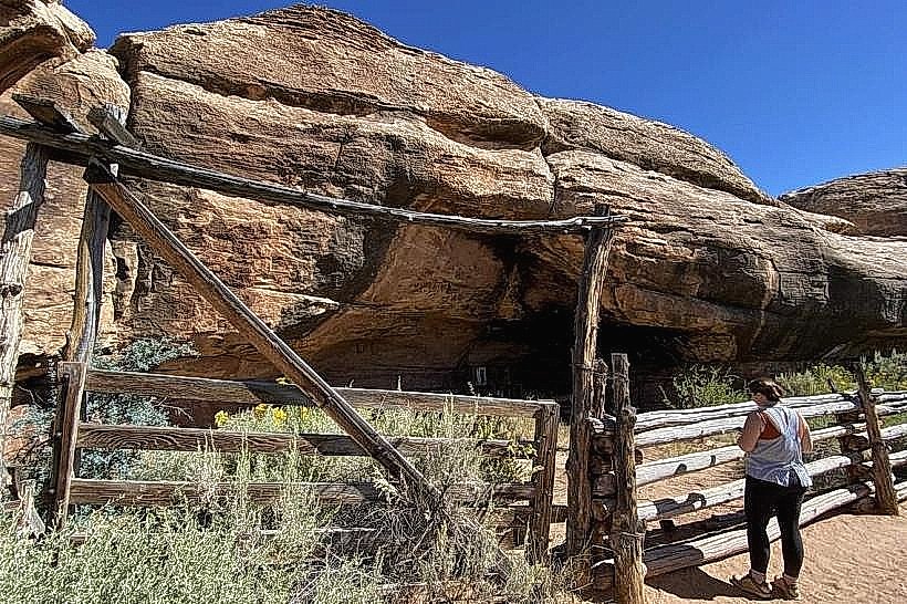
A visitor center is located near the park entrance. Restrooms are available at the visitor center and at the campground. Limited shade is present along trails, primarily from rock overhangs. Cell phone signal is generally absent within the district.
Best Time to Visit
The best months for visiting are April, May, September, and October, when daytime temperatures are moderate. Summer months (June-August) can experience extreme heat. Early morning and late afternoon offer optimal lighting for photography due to the angle of the sun on the rock formations.
Facts & Legends
The name "Needles" comes from the appearance of the numerous spires resembling sewing needles. A unique geological feature is the "Grabens," down-dropped blocks of rock that form the canyons.
Nearby Landmarks
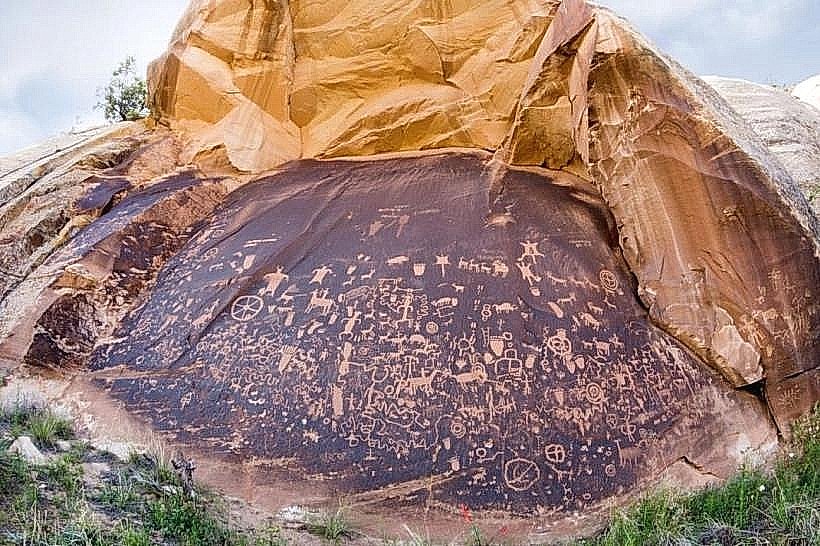
- Newspaper Rock State Historical Monument (15km Southwest)
- Indian Creek State Wildlife Management Area (20km West)
- Bears Ears National Monument (various access points, closest approximately 30km South)
- Manti-La Sal National Forest (various access points, closest approximately 40km East)