Landmark: Big Spring Canyon Overlook
City: Monticello
Country: USA Utah
Continent: North America
Big Spring Canyon Overlook, Monticello, USA Utah, North America
Big Spring Canyon Overlook is a geological viewpoint located in Monticello, Utah, USA.
This overlook provides a vantage point for observing the geological formations of Big Spring Canyon.
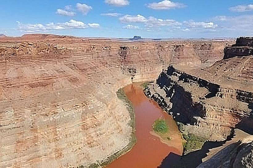
Visual Characteristics
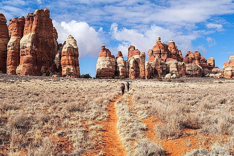
The overlook features a paved viewing platform constructed from concrete. The surrounding terrain consists of exposed sandstone formations exhibiting shades of red and orange. Vegetation is sparse, primarily consisting of desert shrubs and grasses adapted to arid conditions. The canyon floor is visible below, with a seasonal stream bed.
Location & Access Logistics
Big Spring Canyon Overlook is situated approximately 10 kilometers west of Monticello, Utah. Access is via County Road 121 (also known as Indian Creek Road). The turnoff is clearly marked. Parking is available in a designated gravel lot adjacent to the overlook. No public transport services this location.
Historical & Ecological Origin
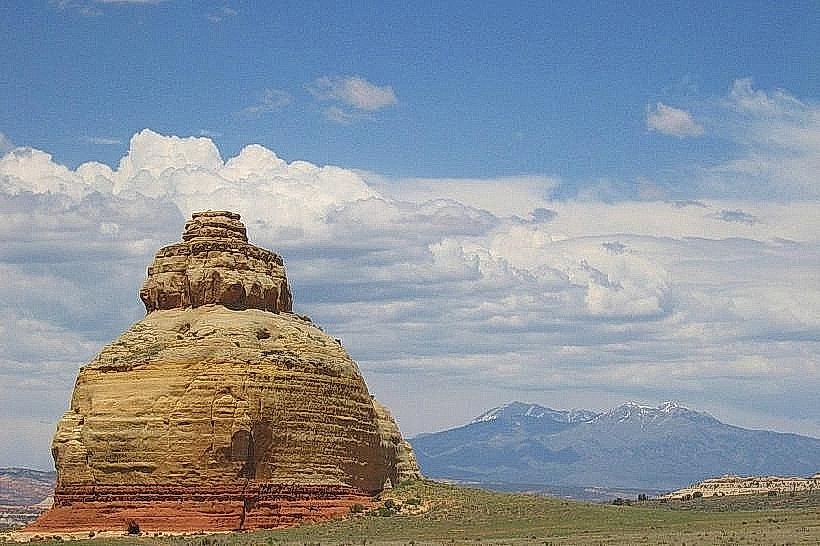
The geological formations at Big Spring Canyon Overlook are the result of millions of years of erosion by water and wind acting upon Navajo Sandstone. The canyon itself is a product of fluvial erosion, carving through the uplifted Colorado Plateau. The area is classified as high desert scrubland.
Key Highlights & Activities
Observation of canyon stratigraphy. Photography of rock formations. Short walks along the rim edge are possible, but caution is advised due to drop-offs. No designated hiking trails extend into the canyon from this point.
Infrastructure & Amenities
A single concrete viewing platform is present. No restrooms, shade structures, or food vendors are available at the overlook. Cell phone signal (4G/5G) is intermittent to non-existent.
Best Time to Visit
For optimal lighting conditions for photography, visit during the early morning or late afternoon when the sun's angle creates shadows that highlight the rock textures. The months of April, May, September, and October offer the most temperate weather, avoiding extreme summer heat and winter snow.
Facts & Legends
Local folklore suggests that the canyon was once a hiding place for outlaws due to its remote nature and numerous small caves. Geologically, the distinct layering of the sandstone provides a visual record of ancient dune fields from the Jurassic period.
Nearby Landmarks
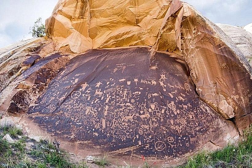
- Newspaper Rock State Historical Monument (2.5km Northeast)
- Indian Creek State Wildlife Management Area (4.0km Southwest)
- Bears Ears National Monument (Access points vary, nearest trailhead approx. 15km West)