Landmark: Cave Spring Trail
City: Monticello
Country: USA Utah
Continent: North America
Cave Spring Trail, Monticello, USA Utah, North America
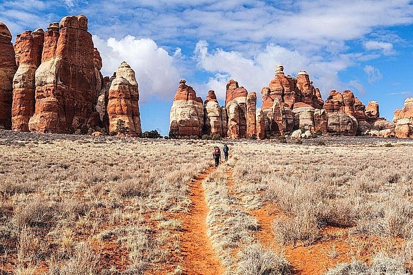
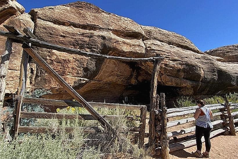
Cave Spring Trail is a 0.6-mile loop trail located in the Manti-La Sal National Forest near Monticello, Utah. It features a natural spring and a small cave.
Visual Characteristics
The trail traverses a mixed conifer forest with ponderosa pine and juniper. The ground surface is primarily packed dirt and gravel. The cave opening is approximately 10 feet wide and 8 feet high, with water seeping from its base. Rock formations are sandstone.
Location & Access Logistics
The trailhead is located 15 miles southwest of Monticello, Utah, off State Route 191. Access is via Forest Road 046, a well-maintained gravel road. Parking is available at a designated pull-off adjacent to the trailhead. No public transport services this location.
Historical & Ecological Origin
The spring is a natural groundwater seep originating from the Entrada Sandstone formation. The cave is a small erosional feature within the sandstone. The area has historically been used for grazing and recreation.
Key Highlights & Activities
Observation of the spring and cave. Hiking the loop trail. Birdwatching.
Infrastructure & Amenities
No restrooms are available at the trailhead. Limited shade is present along the trail. Cell phone signal is unreliable. No food vendors are located at or near the trailhead.
Best Time to Visit
The trail is accessible year-round, but snow can impede access in winter. Spring and fall offer moderate temperatures. Mid-morning provides optimal lighting for viewing the cave entrance.
Facts & Legends
Local lore suggests the spring was a water source for early travelers and prospectors. The water flow from the spring is consistent throughout the year.
Nearby Landmarks
- Abajo Peak (12km Southwest)
- Manti-La Sal National Forest Ranger Station (18km Northeast)
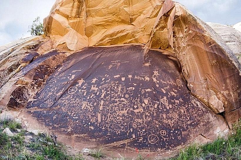
- Newspaper Rock State Historical Monument (35km Northwest)