Landmark: Church Rock
City: Monticello
Country: USA Utah
Continent: North America
Church Rock, Monticello, USA Utah, North America
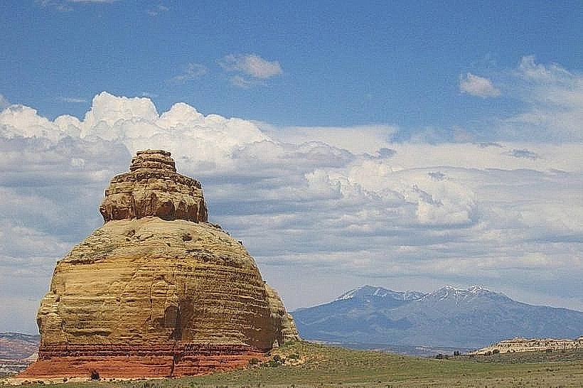
Church Rock is a prominent sandstone formation located near Monticello, Utah, USA.
This geological feature is characterized by its distinct, spire-like shape and the warm, reddish-orange hue of its sandstone composition.
Visual Characteristics
Church Rock is a tall, slender sandstone spire. Its surface exhibits layered striations typical of Navajo Sandstone. The color ranges from light tan to deep rust, varying with sunlight intensity. The base is wider, tapering towards the summit, which is approximately 100 feet above the surrounding terrain.
Location & Access Logistics
Church Rock is situated approximately 10 miles west of Monticello, Utah. Access is via State Route 66 (also known as Indian Creek Road). Turn south onto a well-maintained dirt road, marked by a sign for Church Rock. This road is approximately 1 mile long and suitable for most passenger vehicles in dry conditions. Parking is available at the base of the formation.
Historical & Ecological Origin
Church Rock is a product of aeolian deposition, formed from sand dunes that accumulated during the Jurassic period. Over millions of years, these sand deposits were lithified into sandstone and subsequently eroded by wind and water into its current form. It is an example of differential erosion acting on a massive sandstone formation.
Key Highlights & Activities
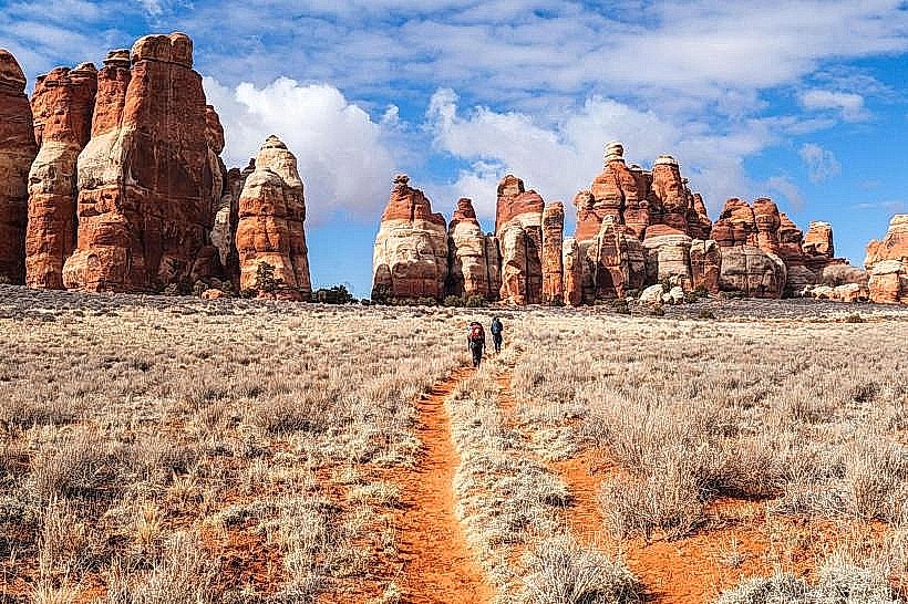
The primary activity is viewing and photographing the rock formation. The area is also a popular spot for rock climbing, with established routes on the spire. Hiking trails are present in the immediate vicinity, offering different perspectives of the rock and surrounding canyon landscape.
Infrastructure & Amenities
There are no permanent facilities at Church Rock. Restrooms are not available. Shade is minimal, provided only by the rock itself during certain times of day. Cell phone signal (4G/5G) is generally unreliable in this remote area. No food vendors are present; visitors should bring their own supplies.
Best Time to Visit
For photography, the best light occurs during the early morning and late afternoon when the sun's angle accentuates the rock's texture and color. The months of April, May, September, and October offer the most pleasant weather, with daytime temperatures typically ranging from 60-80°F. Avoid visiting during periods of heavy rain, as the dirt access road can become impassable.
Facts & Legends
Local Ute tribal legends speak of the rock as a sentinel watching over the valley. Geologically, the spire is a remnant of a larger sandstone layer that has been significantly eroded, leaving this isolated pillar.
Nearby Landmarks
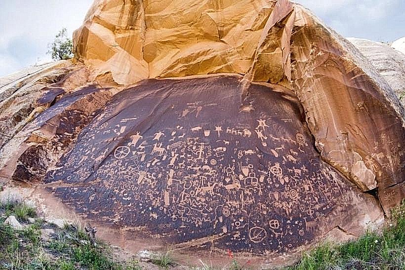
- Newspaper Rock State Historical Monument (15km Northwest)
- Indian Creek State Wildlife Management Area (8km Southwest)
- Bears Ears National Monument (Access points vary, approximately 30km West)
- Mancos State Park (45km Southeast)