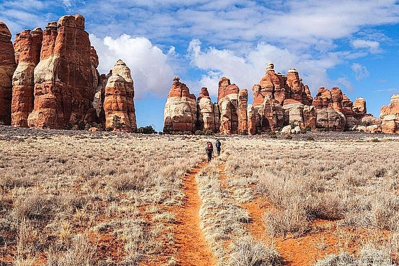
Landmark: Chesler Park Trail
City: Monticello
Country: USA Utah
Continent: North America
Chesler Park Trail, Monticello, USA Utah, North America
Chesler Park Trail is a hiking route located within Canyonlands National Park, near Monticello, Utah, USA.
Visual Characteristics
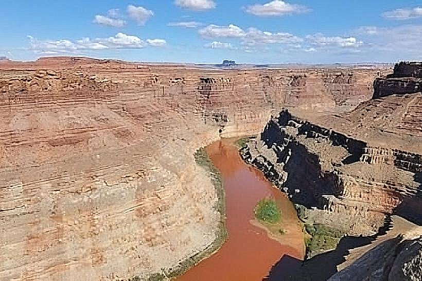
The trail traverses a landscape characterized by towering sandstone fins, spires, and balanced rocks. The rock formations exhibit hues of red, orange, and tan. Vegetation is sparse, consisting primarily of desert shrubs, grasses, and occasional juniper trees. The trail itself is a sandy or rocky path, often narrow, winding through canyons and across slickrock.
Location & Access Logistics
Chesler Park Trail is accessed from the Needles District of Canyonlands National Park. The trailhead is located at the end of the paved park road, approximately 45 miles (72 km) southwest of Monticello. From Monticello, take US-191 South for 35 miles (56 km) to the junction with UT-211 West. Follow UT-211 West for 22 miles (35 km) to the park entrance. Continue on the park road for approximately 20 miles (32 km) to the trailhead parking area. Parking is available at the trailhead. No public transport services are available to this location.
Historical & Ecological Origin
The sandstone formations are part of the Cedar Mesa Sandstone, deposited during the Permian period approximately 280 million years ago. The distinctive shapes are the result of differential erosion by wind and water acting on joints and bedding planes within the rock. The area is an arid desert environment.
Key Highlights & Activities
Hiking is the primary activity. The trail offers opportunities for scrambling through narrow passages between rock formations. The loop trail is approximately 9.4 miles (15.1 km) long. Shorter out-and-back options are available. Photography is possible throughout the trail, particularly of the rock formations and expansive desert vistas.
Infrastructure & Amenities
Restrooms are available at the trailhead parking area. There is no reliable cell phone signal within the park. No food vendors are present along the trail or at the trailhead. Shade is minimal, primarily found in narrow canyon sections.
Best Time to Visit
The best months for hiking are April, May, September, and October, when daytime temperatures are moderate. Summer months (June-August) can experience extreme heat, making hiking dangerous. Early morning or late afternoon provides optimal lighting for photography of the rock formations. No tide considerations apply.
Facts & Legends
The "Needles" themselves are named for the numerous spires of rock that resemble sewing needles. A specific geological feature on the trail is known as "The Joint," a narrow passage that requires careful navigation.
Nearby Landmarks
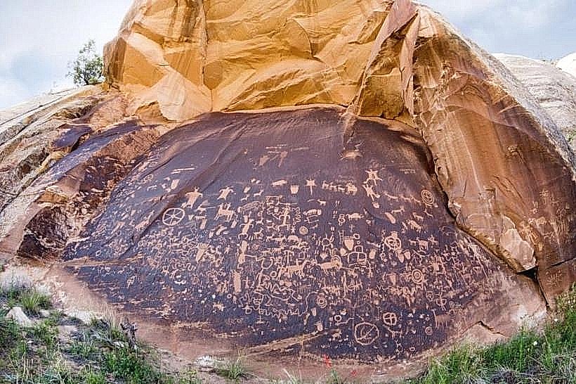
- Newspaper Rock State Historical Monument: 15km Northeast
- The Goosenecks State Park: 40km Northwest
- Mesa Verde National Park (Colorado): 80km East
- Natural Bridges National Monument: 50km Northwest