Landmark: Akagera River
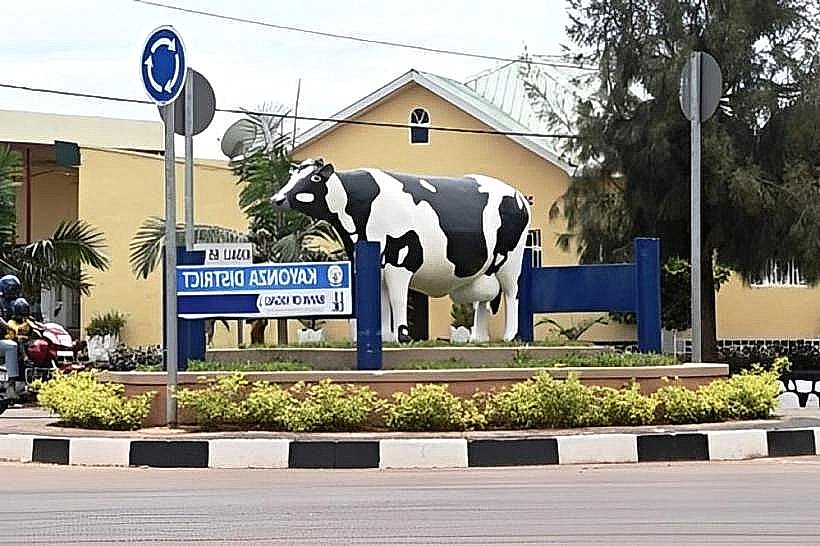
City: Kayonza
Country: Rwanda
Continent: Africa
Akagera River, Kayonza, Rwanda, Africa
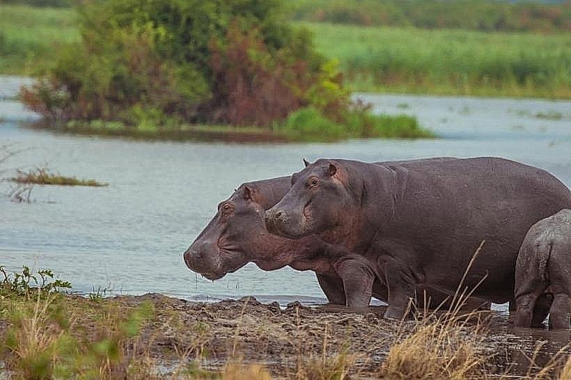
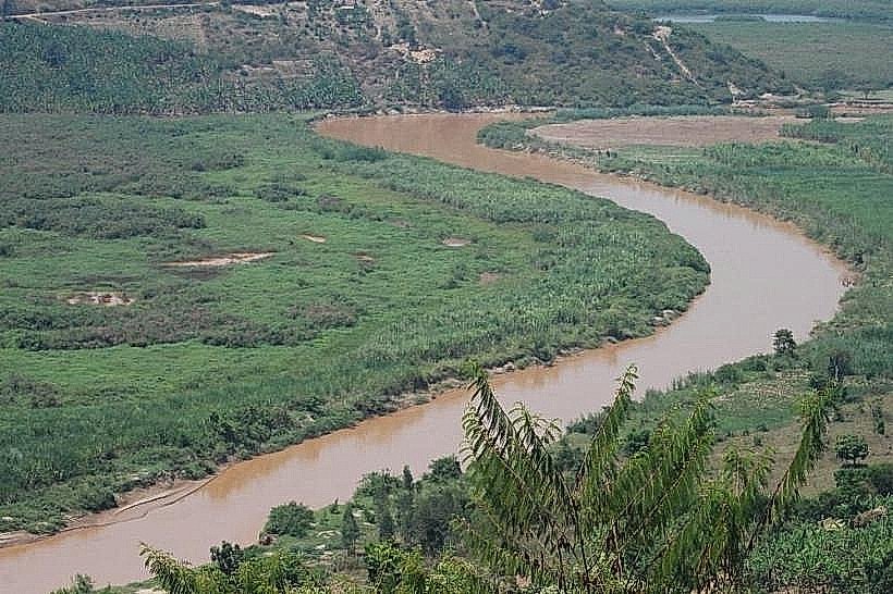
The Akagera River (also known as the Kagera) is the largest tributary of Lake Victoria and the most significant river system in Rwanda. It forms the eastern border between Rwanda and Tanzania and serves as the primary hydrological artery for the Akagera National Park and the wider Nile Basin.
Visual Characteristics
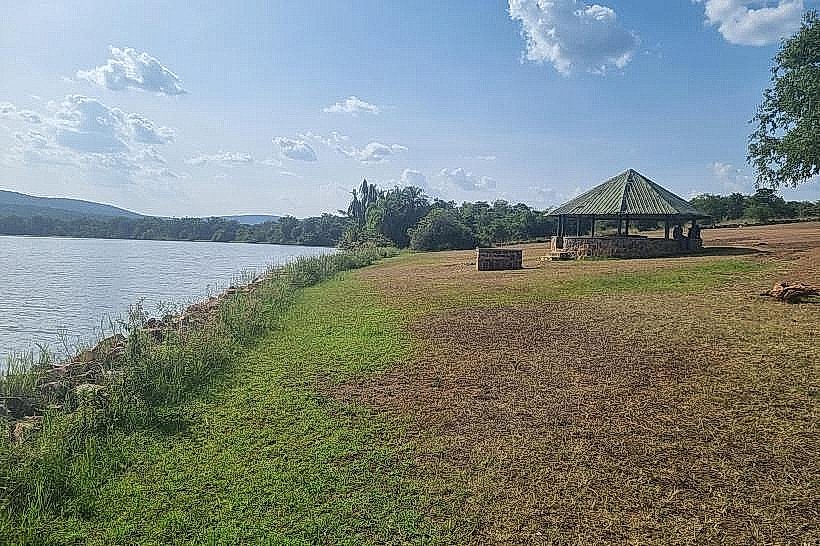
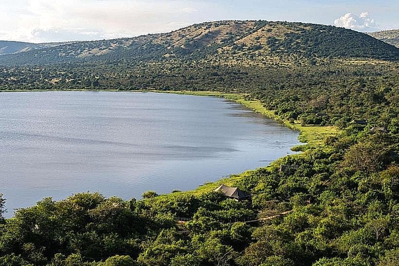
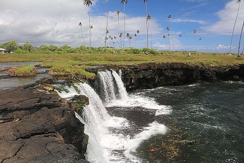
The river is defined by its deep, ochre-colored silty waters and a slow-moving, meandering course. It is flanked by massive papyrus swamps and seasonally flooded grasslands that can extend several kilometers from the main channel. In the southern reaches, it features dramatic drops such as the Rusumo Falls, while the northern sections consist of complex braided channels and floating vegetation islands.
Location & Access Logistics
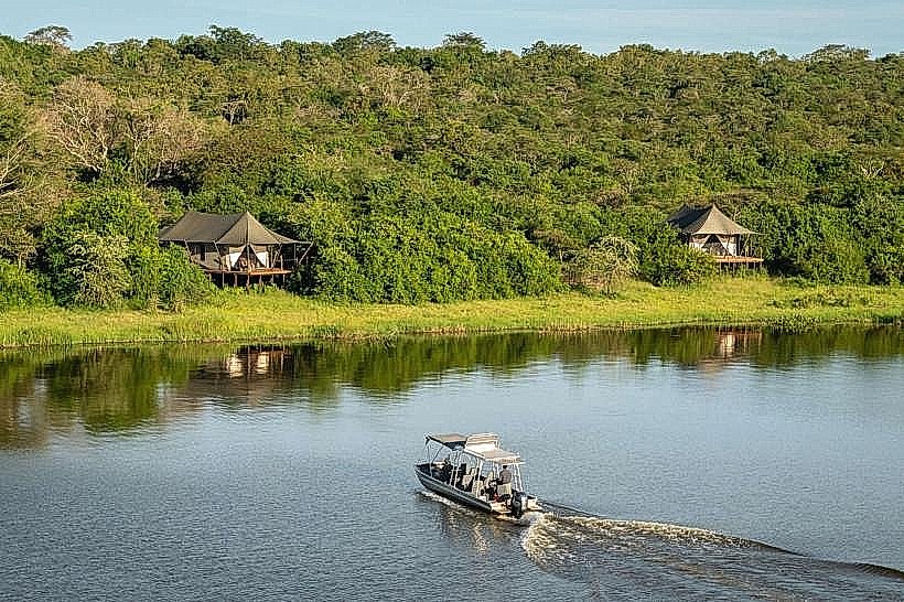
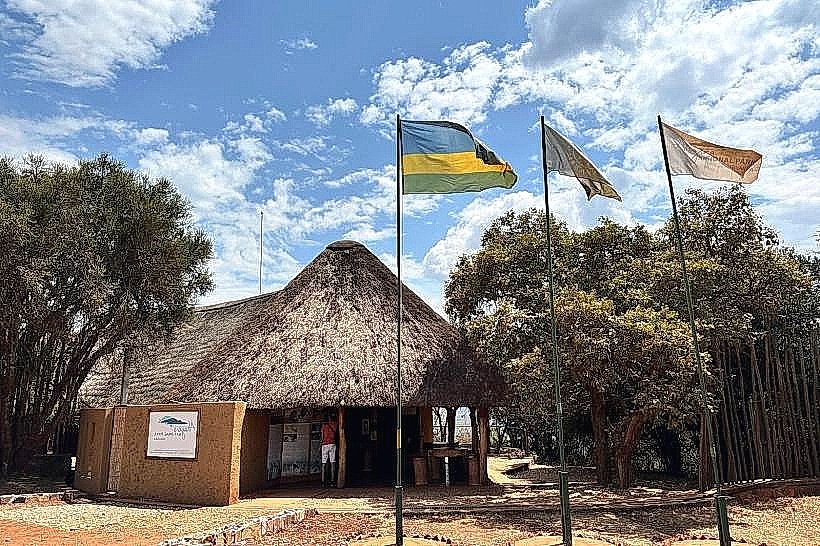
The river flows along the entire eastern edge of the Akagera National Park in the Kayonza and Nyagatare Districts. Access is strictly controlled through the national park or via the Rusumo Border Post (RN3 highway). Within the park, the river can be viewed from elevated ridges or accessed via boat at Lake Ihema, which is part of the river’s wider flood system. From Kigali, the closest point of access is the Rusumo border, approximately 160km southeast.
Historical & Ecological Origin
Geologically, the Akagera River occupies a tectonic fault line associated with the East African Rift. It is ecologically critical as the "Western Source of the Nile," with its headwaters reaching deep into the Nyungwe Forest and the Burundi highlands. Historically, the river served as a natural defensive barrier for the pre-colonial Rwandan Kingdom and a major geographical marker for 19th-century European explorers seeking the source of the Nile.
Key Highlights & Activities
Wildlife Observation: The riverbanks host the highest concentration of hippopotamuses and Nile crocodiles in the region.
Birding: A global hotspot for the rare Shoebill stork and the Papyrus Gonolek, which nest in the dense reeds.
Rusumo Falls: A major hydroelectric and scenic point where the river narrows and drops 15 meters over a series of quartzitic ridges.
Trans-border Geography: The river serves as the international boundary; visitors at the Rusumo bridge can stand directly between Rwanda and Tanzania.
Infrastructure & Amenities
Infrastructure is limited to the Rusumo International Bridge and the associated hydroelectric power station. Within Akagera National Park, infrastructure consists of unpaved ranger tracks and a boat launch at Lake Ihema. There are no public amenities along the riverbanks due to the high density of crocodiles and the protected status of the wetlands. 4G cellular signal is available at the border and near the park's southern lakes.
Best Time to Visit
The river is most dramatic during the peak rainy seasons (April–May and October–November) when the water volume increases and the papyrus stands are most vibrant. However, for wildlife viewing along the banks, the dry season (June–August) is superior as animals congregate at the permanent water source. Morning visits (06:00–08:30) provide the best light for photography and bird activity.
Facts & Legends
The Akagera is often referred to as the "Mother of the Nile" in local lore. It is a highly powerful current; even where it appears calm, the undercurrents are hazardous. A specific tip for visitors: the bridge at Rusumo provides a rare "top-down" view of the river's power, but photography is restricted near the hydroelectric installations for security reasons.
Nearby Landmarks
Rusumo Falls – On-site (Southeast)
Lake Ihema – 0.5km West (via park)
Akagera National Park – Adjacent West
Tanzanian Border Post – On-site (East)
Imigongo Art Center – 40km Northwest