Landmark: Muyaga Falls
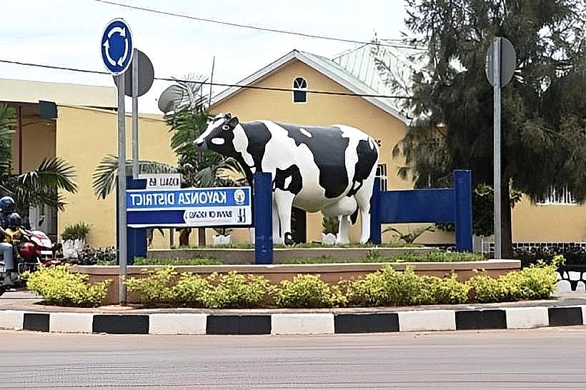
City: Kayonza
Country: Rwanda
Continent: Africa
Muyaga Falls, Kayonza, Rwanda, Africa
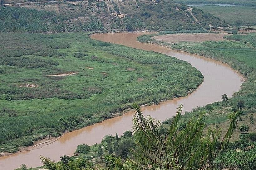
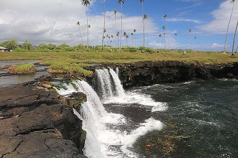
Muyaga Falls is a natural waterfall system located in the Kayonza District of eastern Rwanda. It is one of the few significant water drops in the relatively flat eastern plateau, formed by the drainage of the highland runoff toward the Akagera River basin.
Visual Characteristics
The falls consist of a series of low-tier cascades flowing over dark metamorphic rock formations. Unlike the high-altitude vertical drops found in western Rwanda, Muyaga is characterized by a wide, stepped lateral flow. During the rainy season, the water takes on a silty brown hue due to the surrounding red latosol, while the dry season reveals the intricate geological strata of the riverbed. The area is surrounded by dense riparian vegetation and local agricultural smallholdings.
Location & Access Logistics
The site is situated in the Muyaga sector of Kayonza, approximately 18km southeast of Kayonza town. Access is primarily via unpaved communal roads that branch off the main RN3 highway. There is no formal visitor center or paved parking; visitors typically park in the nearby trading center and complete the final 1km on foot via a dirt trail. 4x4 vehicles are recommended during the rainy months (March–May).
Historical & Ecological Origin
Geologically, the falls are part of the Rusumo-Kagera fault system. The water originates from the local catchment areas of the eastern hills, eventually feeding into the network of lakes within Akagera National Park. Historically, the falls have served as a communal water source and a natural landmark for the residents of the Muyaga and Kabare sectors. The ecosystem supports a variety of freshwater crabs and small amphibians unique to the eastern marshlands.
Key Highlights & Activities
Nature Hiking: The trail leading to the falls offers a view of the rural eastern landscape and traditional farming techniques.
Photography: The stepped rocks provide multiple vantage points for capturing the movement of the water against the savanna backdrop.
Birdwatching: The humid microclimate around the falls attracts kingfishers, wagtails, and weavers that are less common in the open savanna.
Community Interaction: Visitors often observe local life, as the area remains an active site for domestic water collection and small-scale fishing.
Infrastructure & Amenities
Infrastructure at Muyaga Falls is non-existent. There are no managed restrooms, shaded pavilions, or safety railings. Visitors must be entirely self-sufficient, bringing their own water and food. 4G cellular signal is available but can be weak in the immediate vicinity of the riverbed. The terrain involves slippery rocks and steep earthen banks; sturdy footwear is mandatory.
Best Time to Visit
The falls are most impressive during the peak of the rainy seasons (April or November), when the water volume is at its highest. However, for ease of access and safe hiking, the transition months of June and September are optimal. Mid-morning (09:00–11:00) provides the clearest light for viewing the cascades before the high heat of the afternoon.
Facts & Legends
Local oral history suggests the falls were once used as a landmark for travelers navigating the route between the ancient kingdoms of Gisaka and Bugesera. A specific tip for visitors: because the site is located on communal land, it is respectful to greet local elders or the village leader upon arrival, and hiring a local youth as a guide is the most effective way to locate the primary viewpoints.
Nearby Landmarks
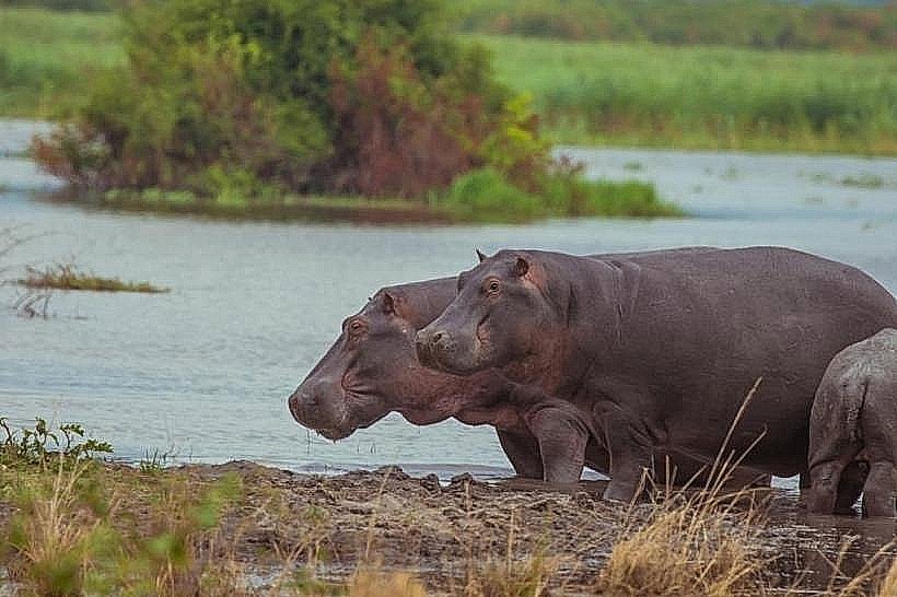
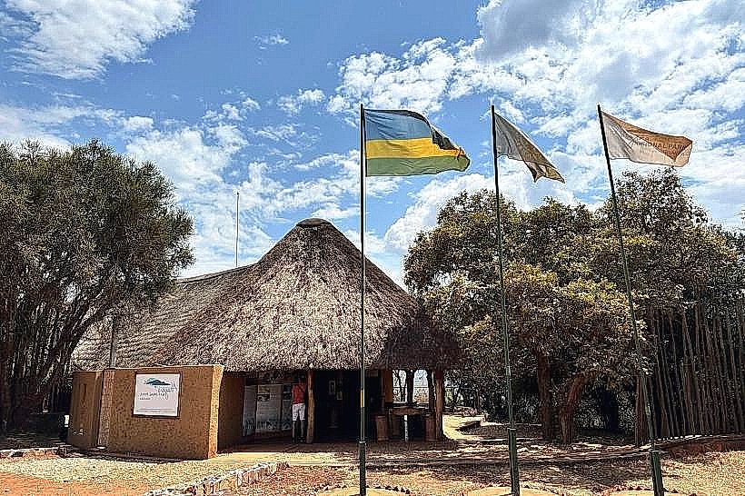
Akagera National Park South Gate – 15km North
Kayonza Town – 18km Northwest
Lake Cyambwe – 10km South
Imigongo Art Center – 32km Southeast
Nasho Solar Plant – 20km South