Landmark: Ao Tanot
City: Koh Tao
Country: Thailand
Continent: Asia
Ao Tanot, Koh Tao, Thailand, Asia
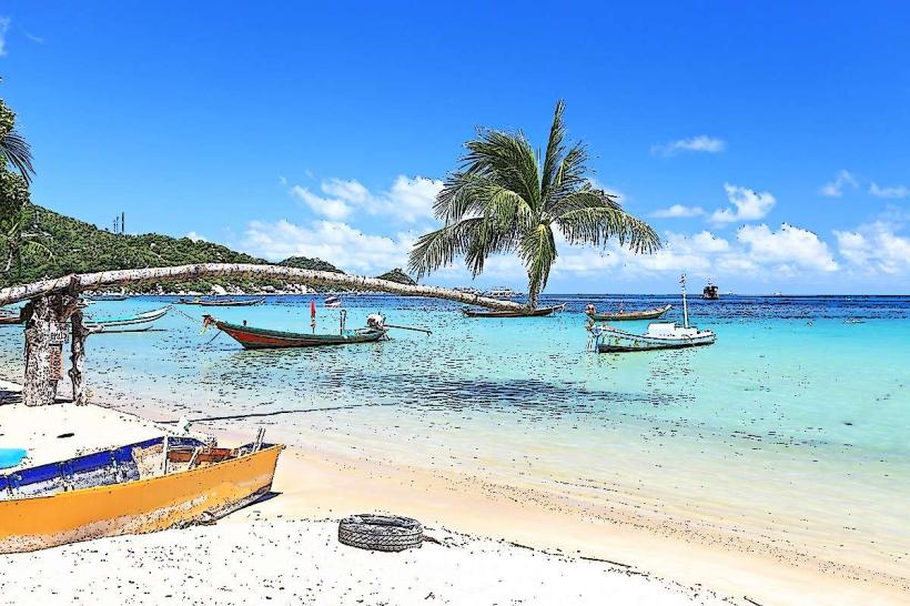
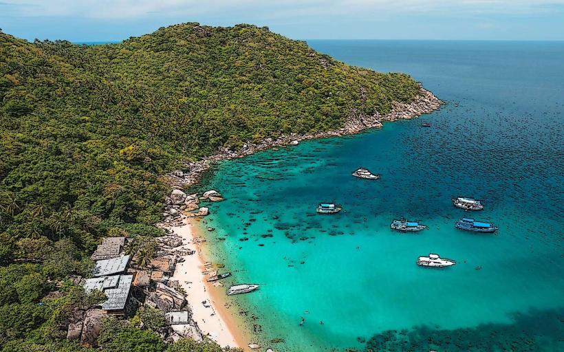
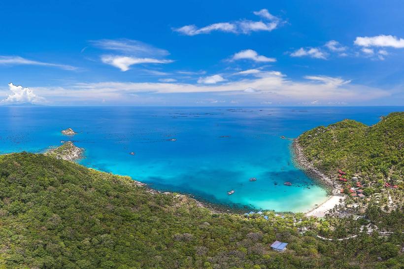
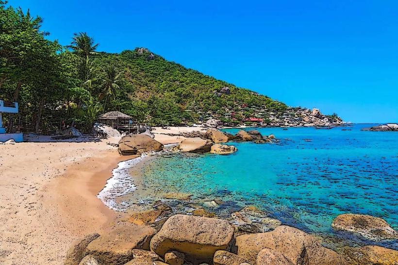
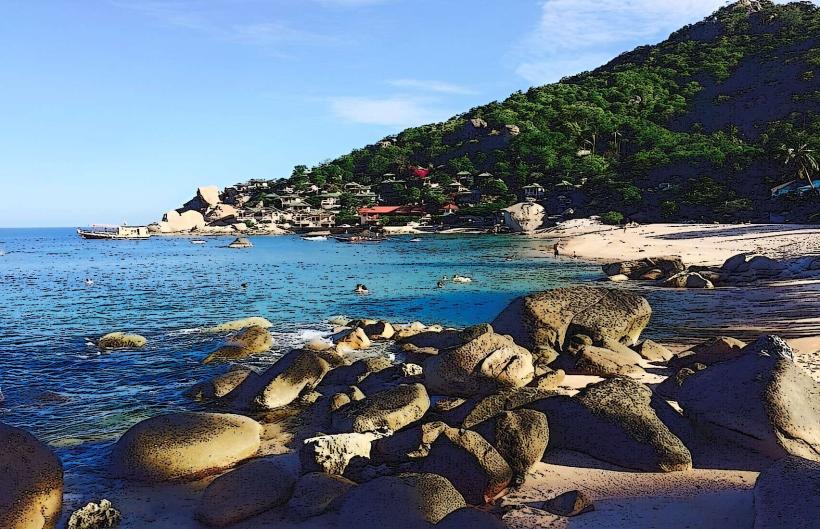
Ao Tanot is a bay located on the eastern coast of Koh Tao, an island in the Gulf of Thailand.
Visual Characteristics
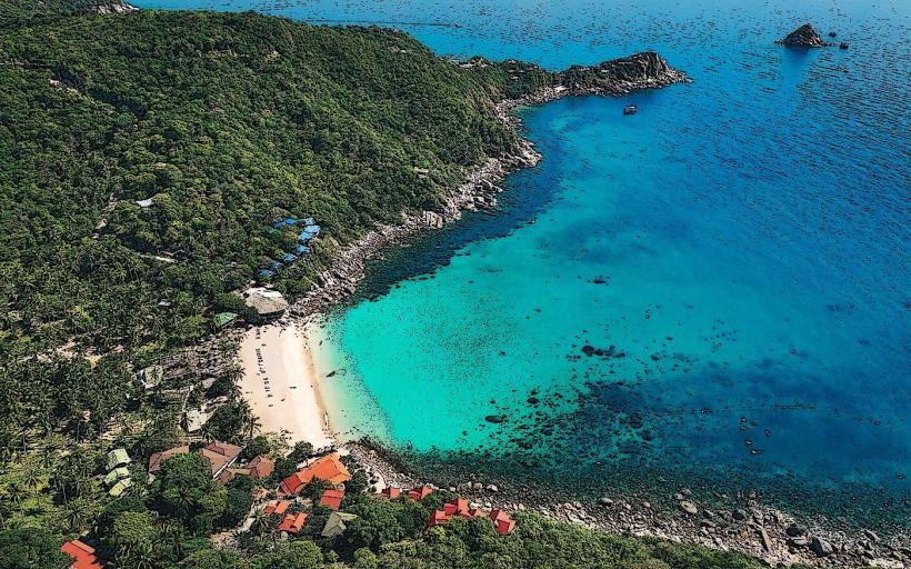
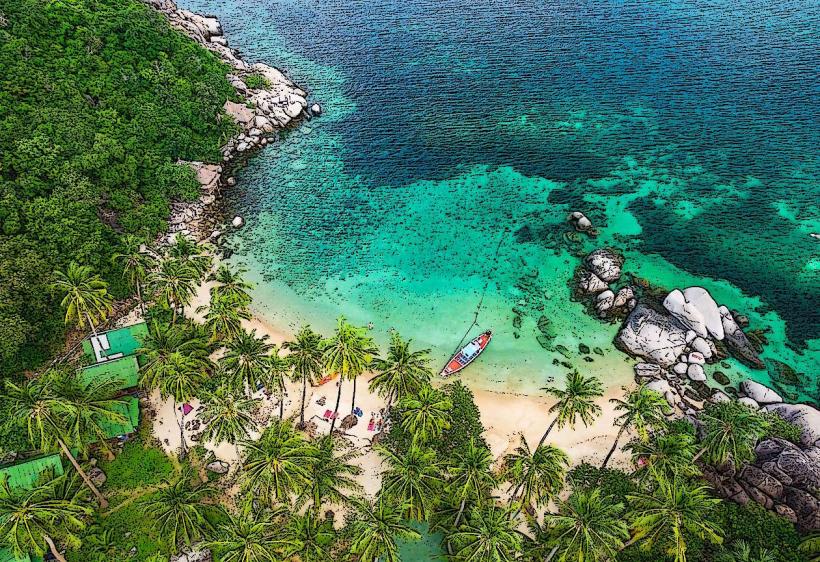
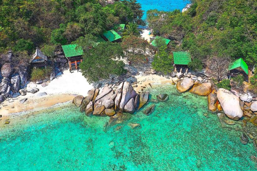
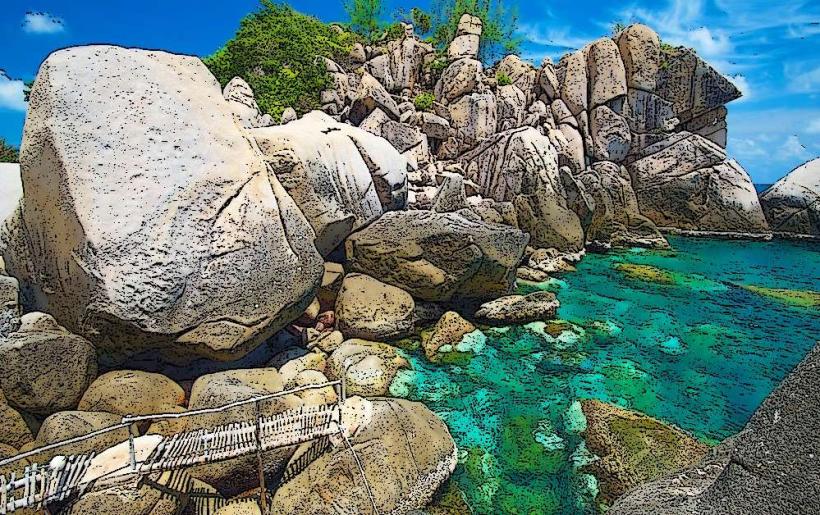
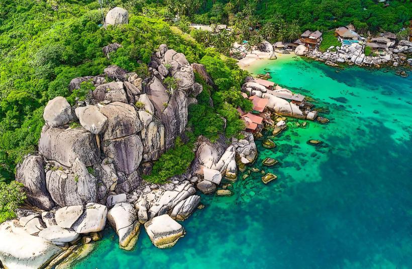
The bay features a shoreline composed of coarse sand and scattered coral fragments. The water clarity is generally high, with a turquoise hue. Rocky outcrops define the northern and southern extremities of the bay. Vegetation consists of dense tropical foliage extending to the shoreline.
Location & Access Logistics
Ao Tanot is situated approximately 4 kilometers east of Mae Haad, the main ferry port. Access is via a paved road that branches off the main island road. The final 500 meters to the bay are unpaved and can be challenging for standard vehicles; a 4x4 or scooter is recommended. Limited parking is available near the beach. No direct public transport serves Ao Tanot; taxis or rented vehicles are the primary options.
Historical & Ecological Origin
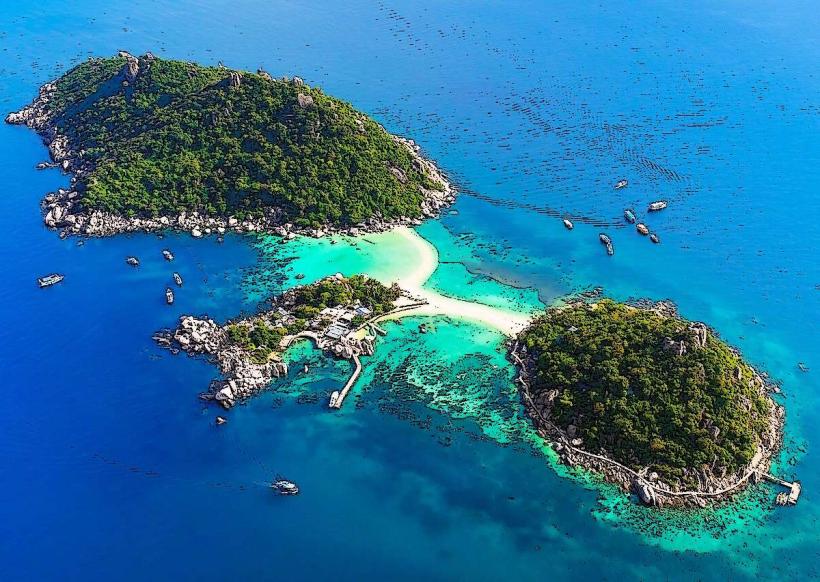
Ao Tanot is a natural bay formed by coastal erosion and geological processes typical of the Gulf of Thailand's island formations. The surrounding coral reefs are part of the marine ecosystem of the region.
Key Highlights & Activities
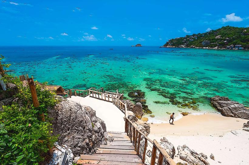
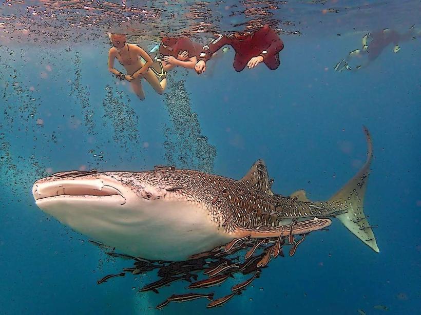
Snorkeling is a primary activity, with coral reefs accessible from the shore. Swimming is possible within the bay. Observation of marine life is common. No organized tours operate directly from the bay.
Infrastructure & Amenities
A small number of beachside restaurants and bars are present. Restrooms are available at these establishments. Shade is provided by natural tree cover and the structures of the restaurants. Cell phone signal (4G) is generally available.
Best Time to Visit
The best time for clear water visibility for snorkeling is during the dry season, from December to March. Mid-morning offers good lighting conditions for underwater observation. High tide is generally preferable for accessing the reef areas.
Facts & Legends
The coral formations in Ao Tanot are known to be relatively healthy compared to some other bays on Koh Tao, supporting a diverse range of fish species. A local anecdote suggests that the bay was historically a favored resting spot for fishermen due to its calm waters.
Nearby Landmarks
- Sai Nuan Beach (1.2km Southwest)
- Chalok Baan Kao Bay (3.5km Southwest)
- Freedom Beach (2.8km Southwest)
- Tanote Peak (1.5km West)