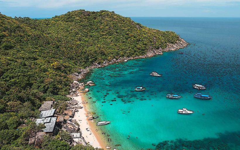
Landmark: Mango Bay
City: Koh Tao
Country: Thailand
Continent: Asia
Mango Bay, Koh Tao, Thailand, Asia
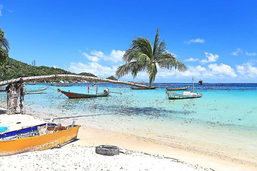
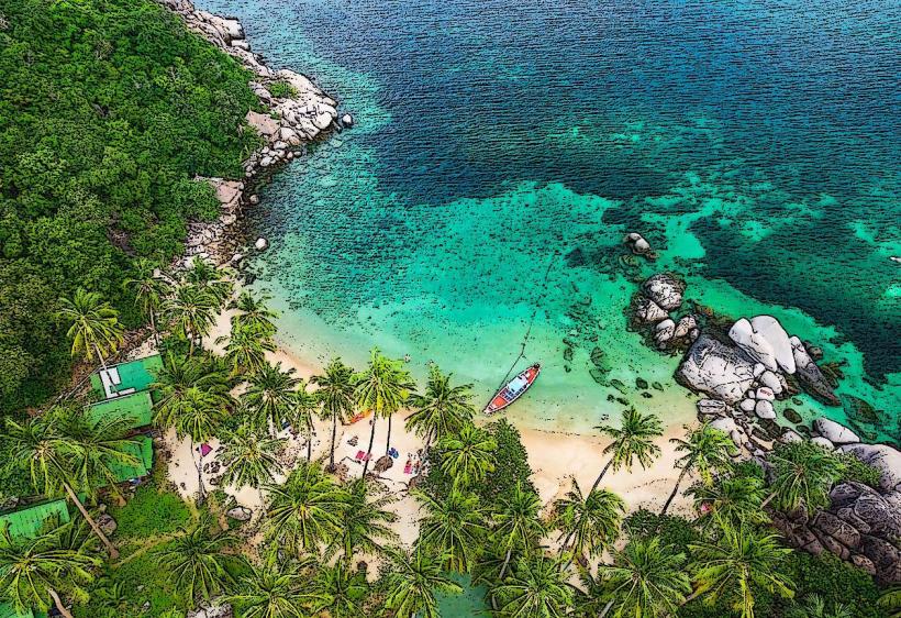
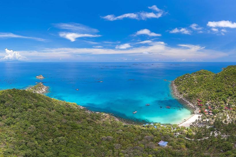
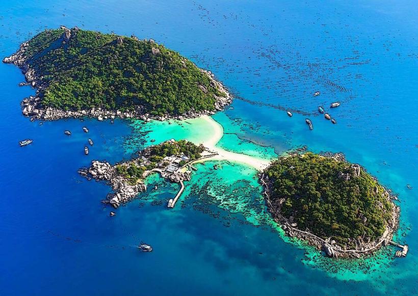
Mango Bay is a coastal inlet located on the northern tip of Koh Tao island in Thailand.
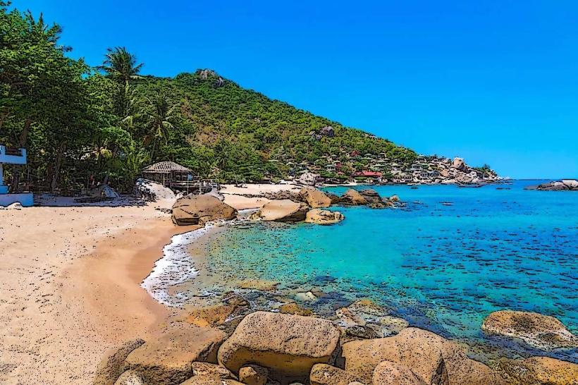
This bay is characterized by its clear, shallow waters and a shoreline composed of coarse sand and scattered coral fragments.
Visual Characteristics
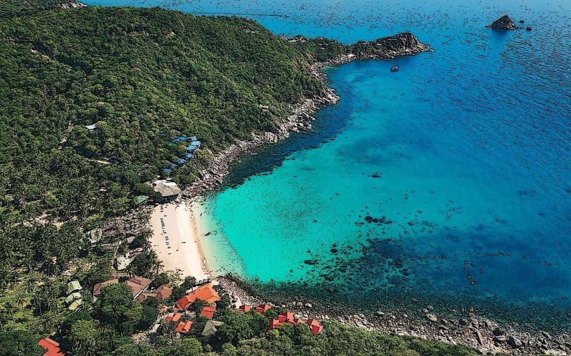
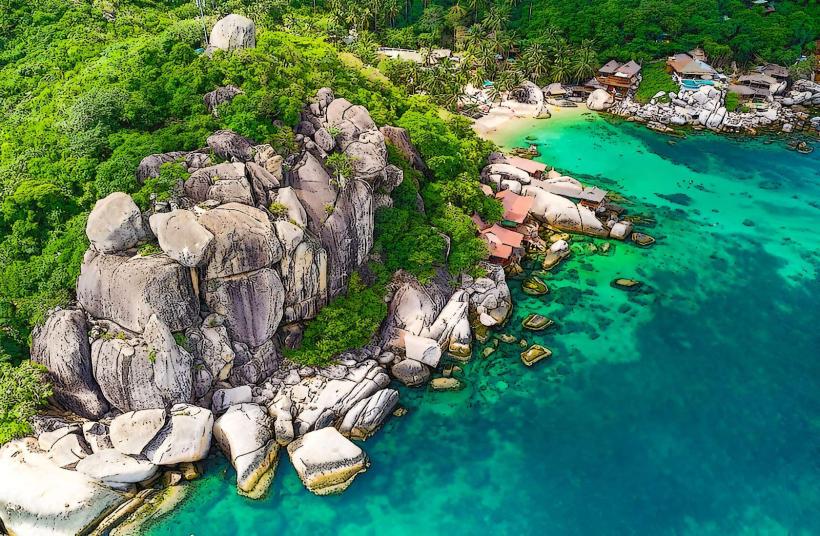
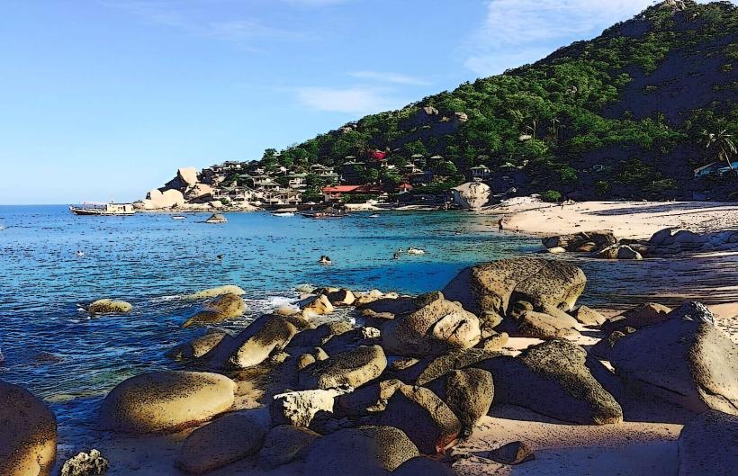
The bay features a crescent-shaped shoreline approximately 300 meters in length. The water depth increases gradually from the shore, reaching an estimated 10 meters at 50 meters offshore. The seabed consists of sand interspersed with coral formations. Vegetation, primarily palm trees and tropical shrubs, lines the upper reaches of the bay.
Location & Access Logistics
Mango Bay is situated on the northern coast of Koh Tao. Access is primarily via boat. Longtail boat services operate from Sairee Beach and Mae Haad Pier, with journey times averaging 20-30 minutes. Road access is limited and requires a 4WD vehicle or scooter on unpaved, steep tracks; this route is not recommended for standard rental vehicles. There is no designated parking area for land-based access.
Historical & Ecological Origin
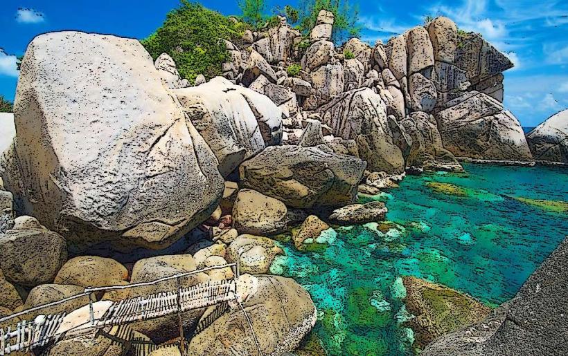
Mango Bay is a natural geological formation, part of the sedimentary and metamorphic rock structures characteristic of the Koh Tao archipelago. Ecologically, it functions as a shallow reef environment supporting a diverse marine ecosystem.
Key Highlights & Activities
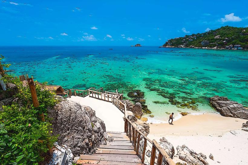
Snorkeling is the primary activity, with coral gardens accessible from the shore. The bay is known for its population of parrotfish and butterflyfish. Kayaking is also possible. Limited swimming is available in calm conditions.
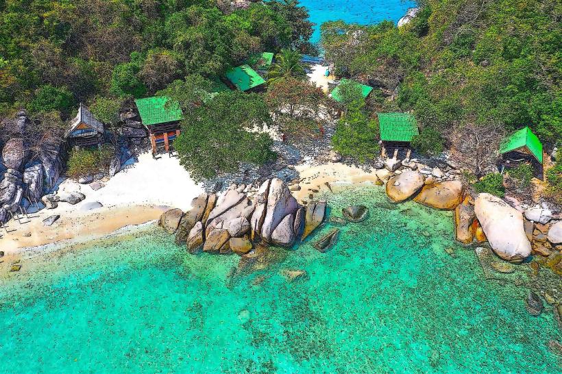
Infrastructure & Amenities
A small, seasonal restaurant operates on the beach during peak tourist months. Basic restroom facilities are available near the restaurant. Cell phone signal (4G) is intermittent. Shade is provided by natural tree cover and a limited number of umbrellas at the restaurant.
Best Time to Visit
The best time for snorkeling is between 10:00 AM and 3:00 PM when sunlight penetration is optimal. The dry season, from December to March, generally offers calmer seas. High tide is preferable for easier access to snorkeling areas.
Facts & Legends
Local lore suggests that the bay was historically a favored resting point for fishermen due to its sheltered nature. A specific tip for visitors is to look for the large brain coral formations located approximately 30 meters offshore from the center of the bay.
Nearby Landmarks
- Aow Leuk (2.5km South)
- Tanote Bay (3.0km Southeast)
- Chalok Baan Kao Bay (4.0km South)
- Freedom Beach (4.5km Southwest)