Landmark: Sai Nuan Beach
City: Koh Tao
Country: Thailand
Continent: Asia
Sai Nuan Beach, Koh Tao, Thailand, Asia
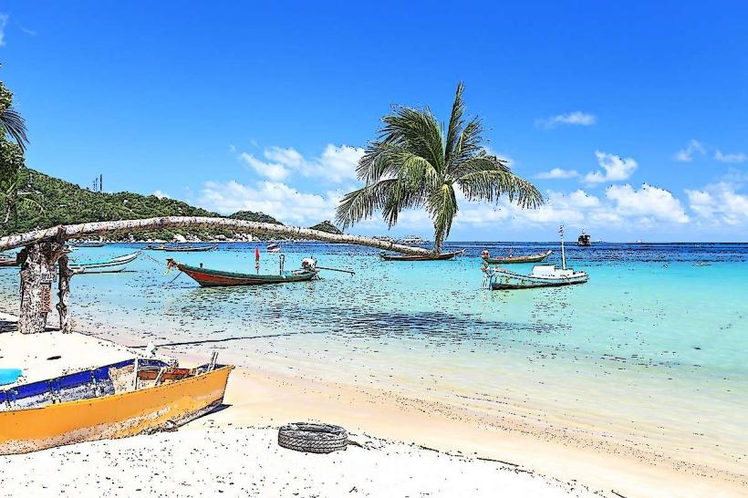
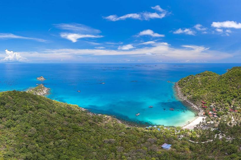
Sai Nuan Beach is a coastal area located on the western side of Koh Tao, an island in the Gulf of Thailand.
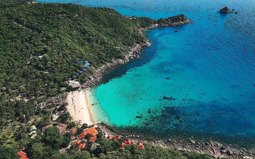
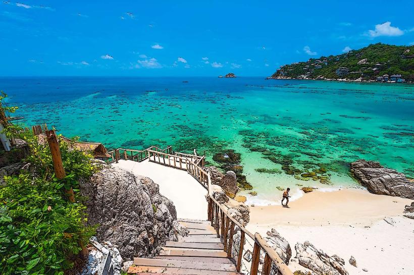
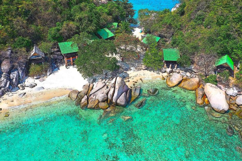
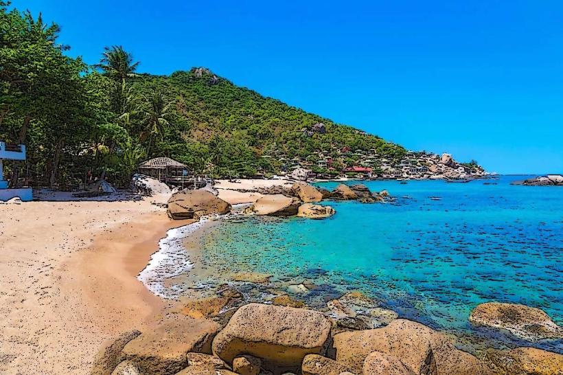
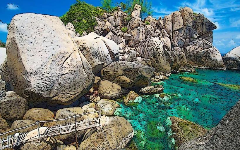
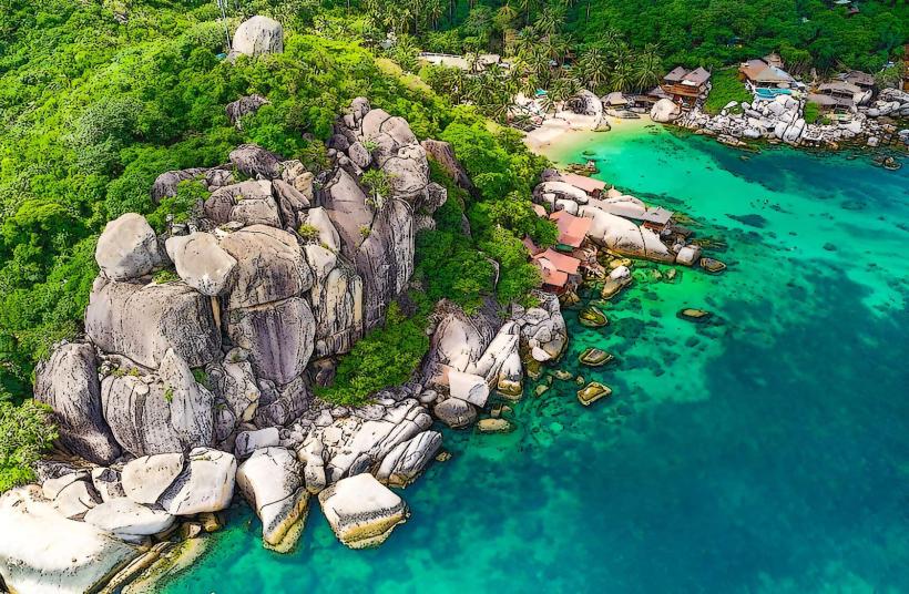
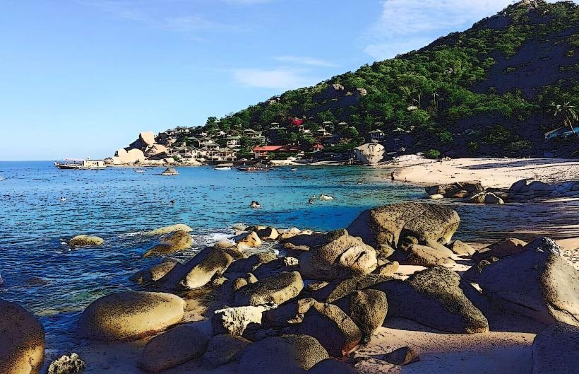
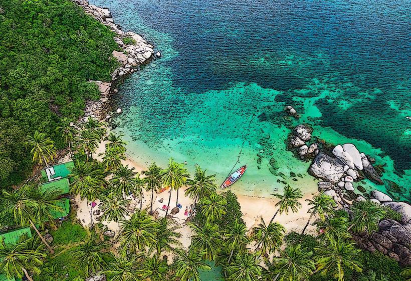
This beach is characterized by its fine, light-colored sand and clear, shallow waters. The shoreline is approximately 300 meters long and is bordered by dense tropical vegetation, including palm trees. Rocky outcrops are present at both ends of the beach.
Location & Access Logistics
Sai Nuan Beach is situated approximately 4 kilometers southwest of Mae Haad Pier, the main arrival point on Koh Tao. Access is primarily via a concrete road that branches off the main island road. The final section of the road leading directly to the beach is unpaved and can be challenging for standard vehicles; a scooter or 4x4 is recommended. Alternatively, the beach is accessible via a walking trail from Sairee Beach (approximately 20-30 minutes) or by longtail boat from Mae Haad or Sairee. Limited parking is available on a small dirt area near the beach entrance.
Historical & Ecological Origin
Sai Nuan Beach is a natural formation, part of the sedimentary coastline of Koh Tao. The island itself is geologically composed of granite and quartzite, formed approximately 300 million years ago. The beach's sand is derived from the erosion of these rock types and coral fragments.
Key Highlights & Activities
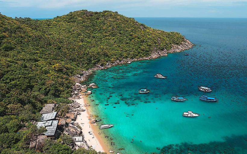
Snorkeling is possible directly from the shore, particularly around the rocky areas at either end of the beach, where coral formations and marine life are present. Swimming is suitable in the calm, shallow waters. Kayak rentals are available from local vendors. The beach is also a location for relaxation and sunbathing.
Infrastructure & Amenities
Basic amenities include a small number of beachfront restaurants and bars offering food and drinks. Restrooms are available at these establishments. Shade is provided by natural tree cover and some thatched umbrellas. Cell phone signal (4G) is generally available.
Best Time to Visit
The best time of day for photography is generally late afternoon, when the sun is lower and casts longer shadows. The dry season, from December to April, offers the most favorable weather conditions with less rainfall and calmer seas. High tide is generally preferred for swimming and snorkeling to ensure adequate water depth.
Facts & Legends
Sai Nuan Beach is locally known as "Freedom Beach" by some, though this name is not officially recognized and can cause confusion with other beaches on the island. A specific point of interest for divers is a small, submerged rock formation approximately 50 meters offshore, often visited by sea turtles.
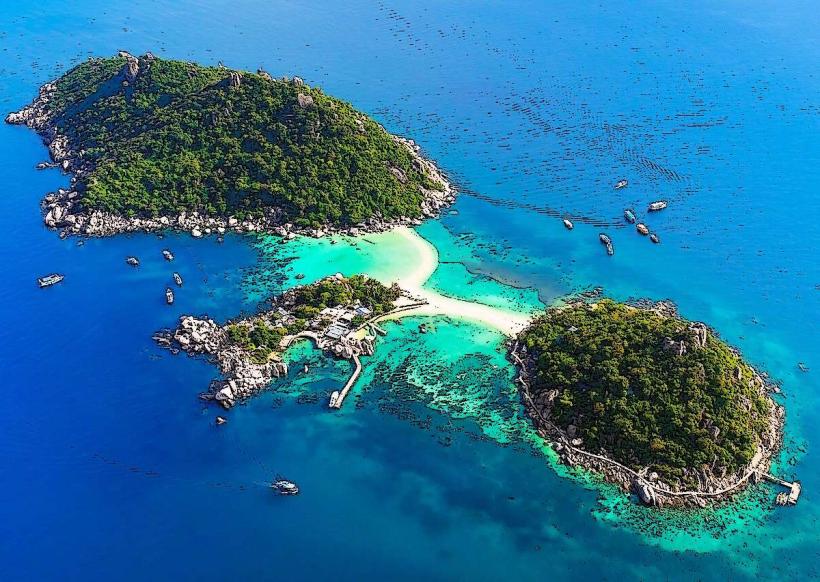
Nearby Landmarks
- 0.8km Northeast: Sairee Beach
- 1.5km Southeast: Tanote Bay
- 2.0km East: Chalok Baan Kao Bay