Landmark: John-Suwan Viewpoint
City: Koh Tao
Country: Thailand
Continent: Asia
John-Suwan Viewpoint, Koh Tao, Thailand, Asia
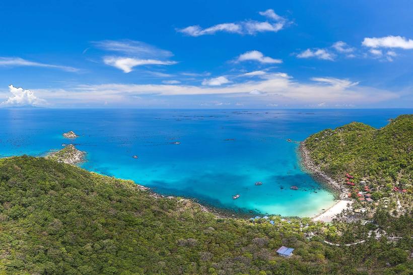
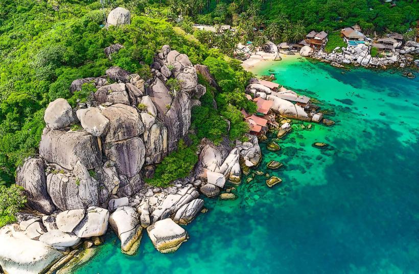
John-Suwan Viewpoint is a land formation located at the southern tip of Koh Tao, Thailand.
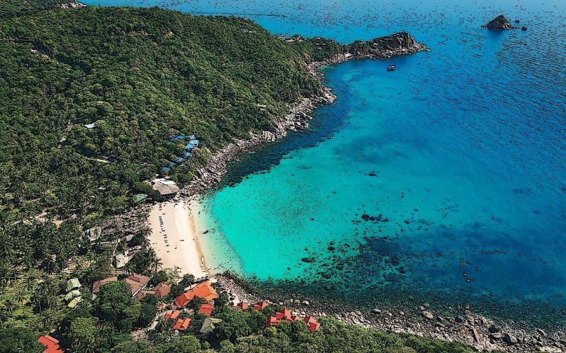
This viewpoint offers a panoramic perspective of the island's coastline.
Visual Characteristics
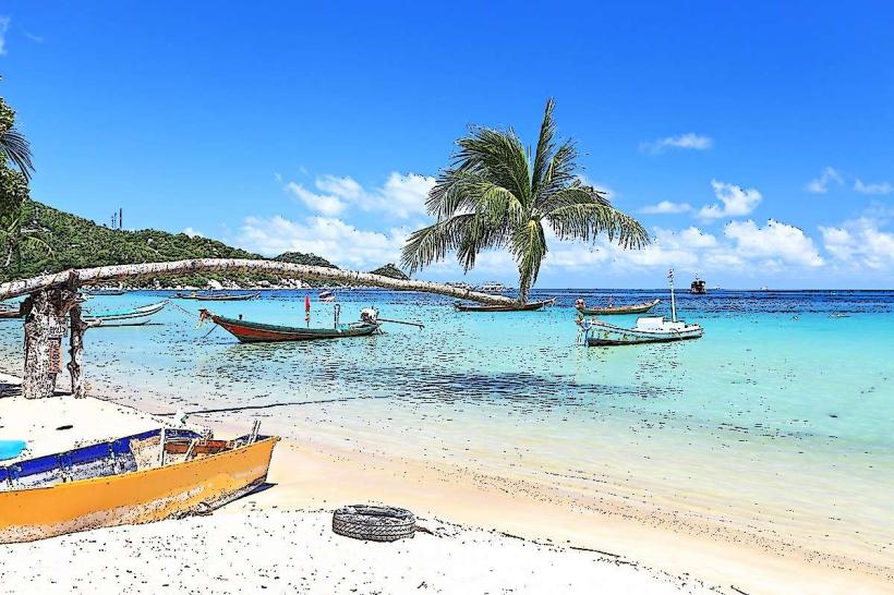
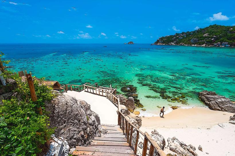
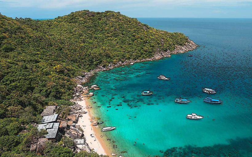
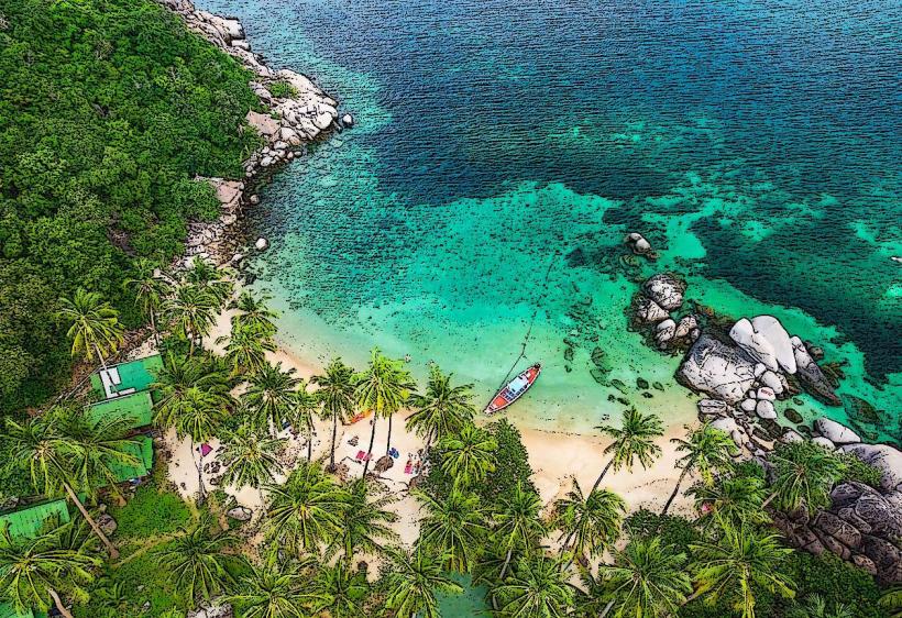
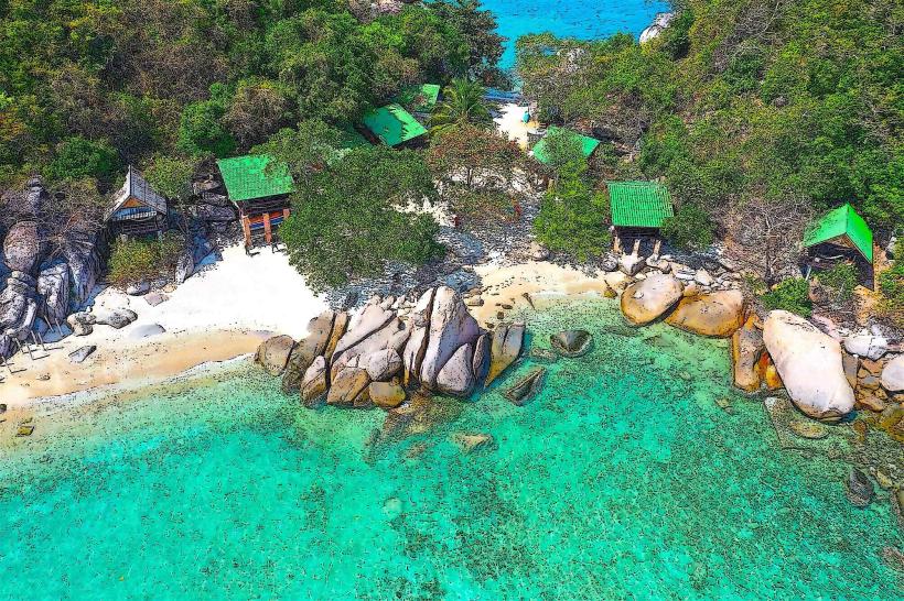
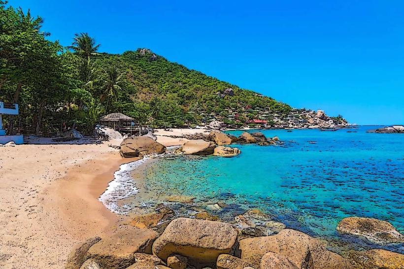
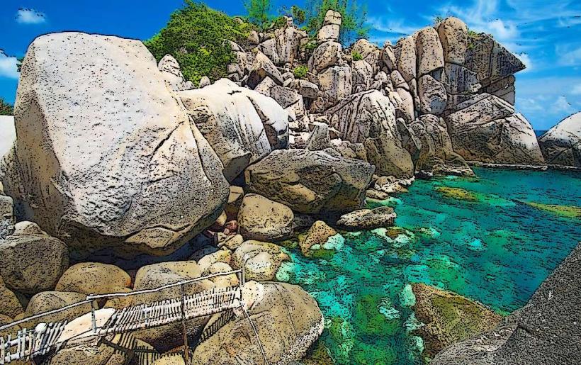
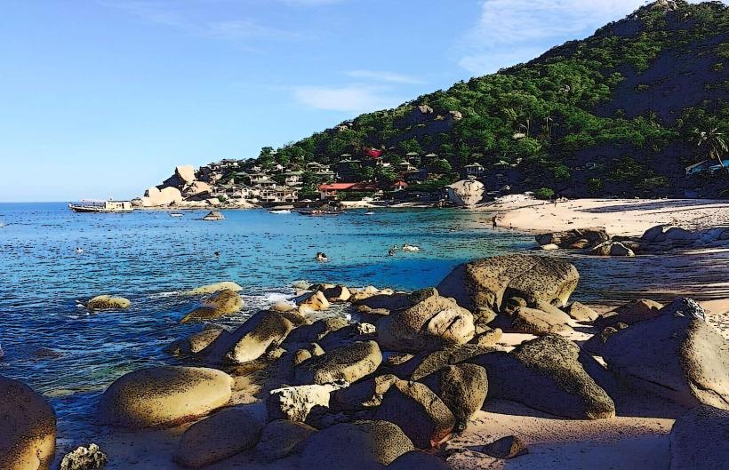
The viewpoint is situated on a rocky outcrop. The terrain consists of granite boulders and sparse, hardy vegetation including palm trees and scrub. The surrounding water exhibits shades of turquoise and deep blue, depending on depth and sunlight. The coastline features small coves and sandy beaches.
Location & Access Logistics
John-Suwan Viewpoint is located at the southern extremity of Koh Tao, approximately 5 kilometers south of Mae Haad village. Access is via a dirt track originating from the main road near Tanote Bay. The final approach involves a short, steep climb over uneven, rocky terrain. Parking is available at the base of the track, with capacity for approximately 10-15 motorbikes and a few cars. No public transport directly serves the viewpoint; travel is typically by motorbike rental or taxi.
Historical & Ecological Origin
The geological formation is composed of ancient granite, part of the Indochina Block, shaped by erosion over millennia. The area is classified as a coastal scrubland ecosystem, adapted to the island's tropical climate and saline environment.
Key Highlights & Activities
Observation of the southern coastline of Koh Tao. Photography of the bays and adjacent islands. Hiking the short, steep trail to the summit.
Infrastructure & Amenities
There are no permanent structures or amenities at the viewpoint itself. Visitors should carry water and sun protection. Cell phone signal (4G) is generally available at the summit.
Best Time to Visit
For optimal lighting conditions for photography, visit during the early morning or late afternoon. The dry season, from December to April, offers the most consistent clear weather. The viewpoint is accessible year-round, with no tide-dependent restrictions.
Facts & Legends
The viewpoint is named after John and Suwan, two individuals who were instrumental in developing tourism infrastructure on Koh Tao in the early days. A local anecdote suggests that on exceptionally clear days, the silhouette of the mainland can be discerned from this vantage point, though this is rare.
Nearby Landmarks
- Tanote Bay (0.8km North)
- Freedom Beach (1.2km West)
- Shark Bay (1.5km West)
- Chalok Baan Kao Bay (2.0km Northwest)