Landmark: Tao Thong Beach
City: Koh Tao
Country: Thailand
Continent: Asia
Tao Thong Beach, Koh Tao, Thailand, Asia
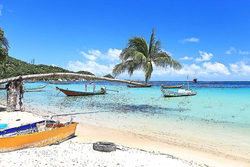
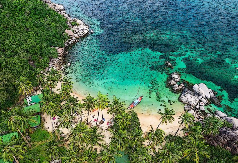
Tao Thong Beach is a small cove located on the western coast of Koh Tao, Thailand.
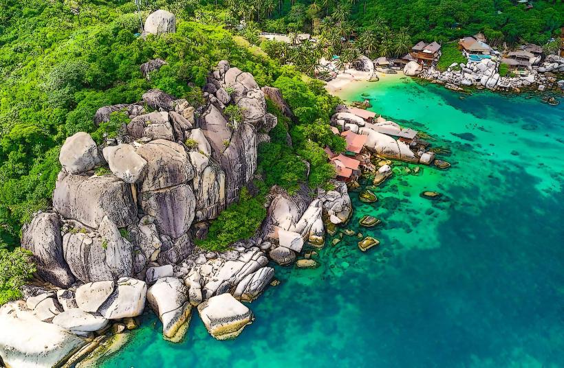
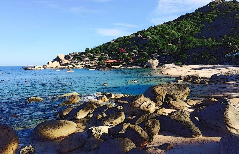
It is characterized by its shallow, clear waters and a shoreline composed of fine, light-colored sand.
Visual Characteristics
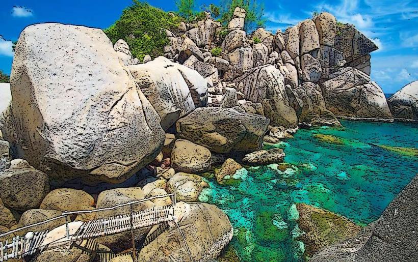
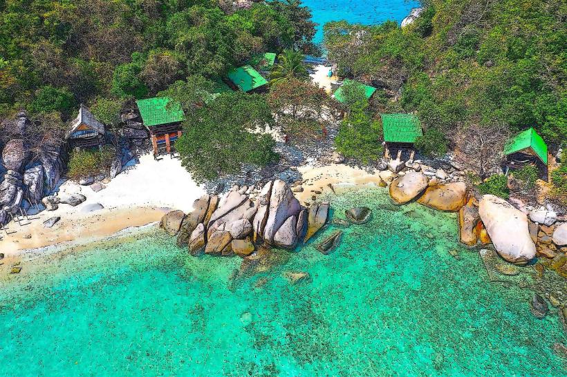
The beach itself is approximately 150 meters in length. The sand is granular and light beige. The water depth increases gradually from the shore, remaining shallow for a considerable distance. Rocky outcrops are present at both ends of the cove. The surrounding vegetation consists of tropical trees and shrubs, providing limited natural shade.
Location & Access Logistics
Tao Thong Beach is situated 4 kilometers southwest of Mae Haad Pier, the primary arrival point on Koh Tao. Access is via a paved road that branches off the main island road. The final approach involves a short, unpaved track. Parking is available on a small, informal lot adjacent to the beach, accommodating approximately 10-15 vehicles. No public transport directly serves the beach; taxis or private rental vehicles are the primary means of access.
Historical & Ecological Origin
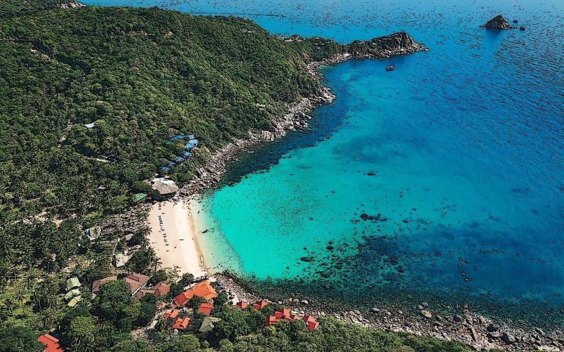
Tao Thong Beach is a natural formation, part of the sedimentary coastline of Koh Tao. The geological composition consists of granite bedrock common to the island, with sand derived from the erosion of these rocks and coral fragments. The marine environment supports a variety of small reef fish and invertebrates.
Key Highlights & Activities
Snorkeling is possible in the clear, shallow waters, particularly around the rocky areas. Swimming is suitable for all ages due to the gentle slope of the seabed. Kayak rentals are sometimes available from local operators during peak season. The beach is also used for sunbathing and relaxation.
Infrastructure & Amenities
There are no permanent restroom facilities or food vendors directly on Tao Thong Beach. Basic shade is provided by natural vegetation. Cell phone signal (4G) is generally available, though it can be intermittent closer to the water's edge.
Best Time to Visit
The best time for photography is during the morning hours (approximately 8:00 AM to 11:00 AM) when the sun angle provides good illumination of the water. The dry season, from December to April, offers the most favorable weather conditions with minimal rainfall. High tide is generally preferred for swimming and snorkeling to ensure adequate water depth.
Facts & Legends
Local lore suggests that the name "Tao Thong" translates to "Golden Turtle," though the specific origin of this name is not definitively documented. The beach is less frequented than larger beaches on the island, offering a quieter experience.
Nearby Landmarks
- Sai Nuan Beach (0.8km North)
- Tanote Bay (2.5km East)
- Chalok Baan Kao Bay (3.0km Southeast)
- Freedom Beach (3.5km Southwest)