Landmark: Sairee Beach
City: Koh Tao
Country: Thailand
Continent: Asia
Sairee Beach, Koh Tao, Thailand, Asia
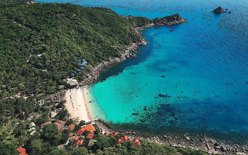
Sairee Beach is a 1.8-kilometer long stretch of coastline located on the western side of Koh Tao island in Thailand.
Visual Characteristics
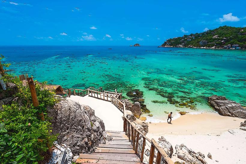
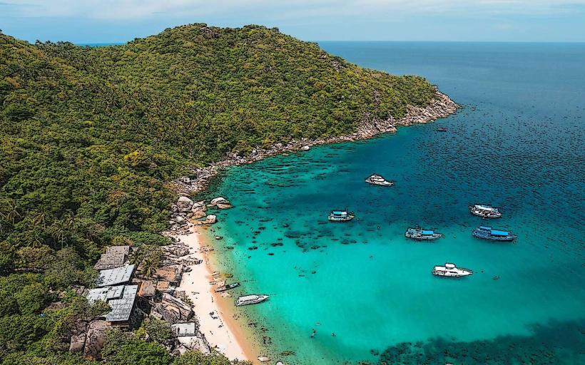
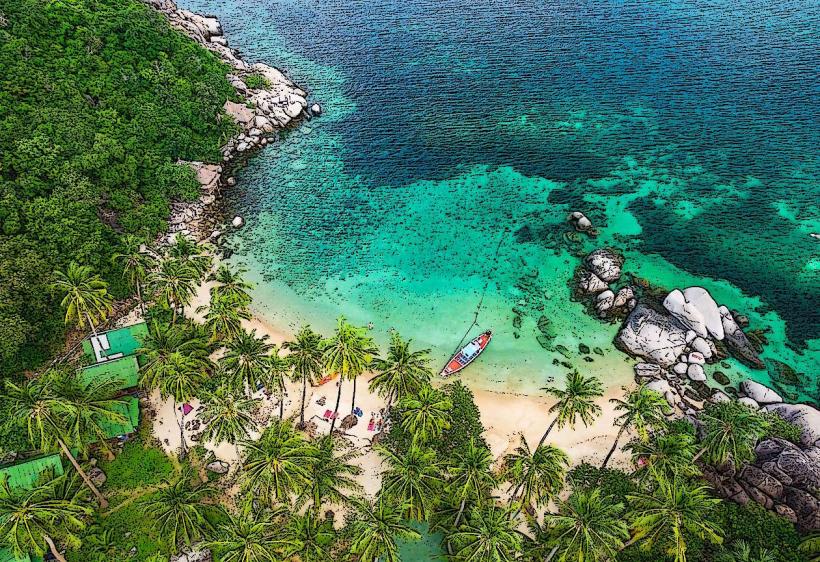
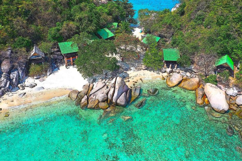
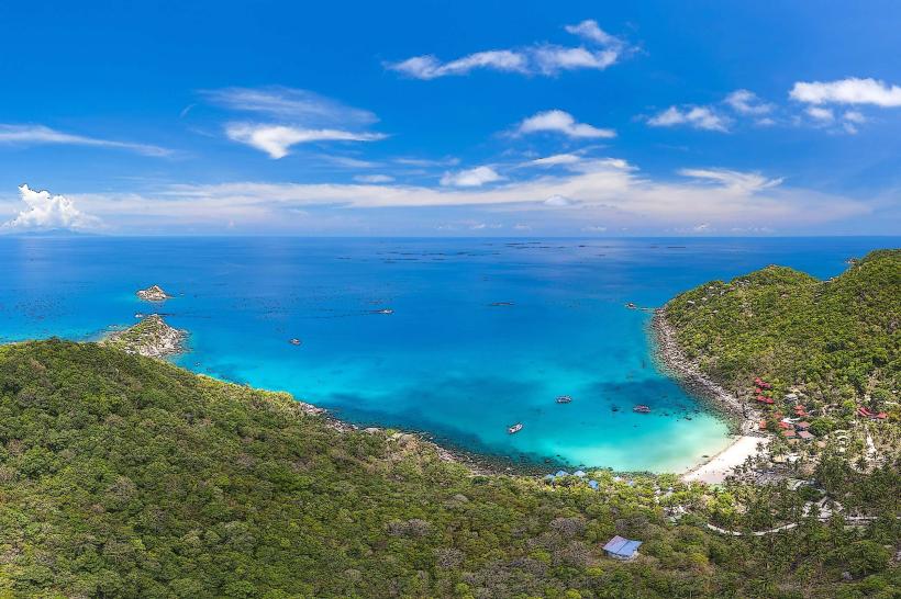
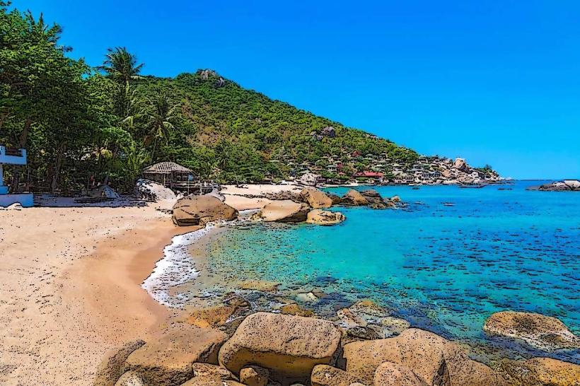
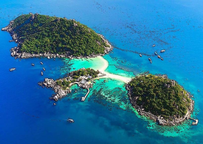
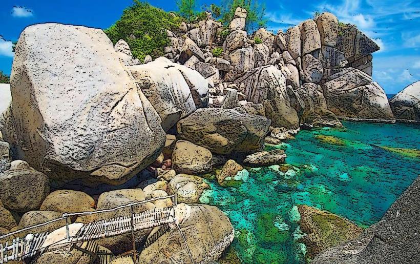
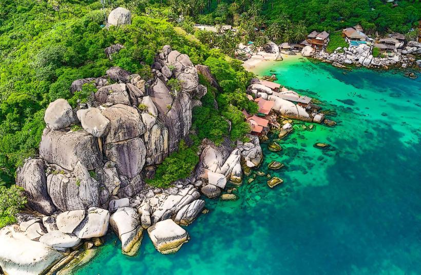
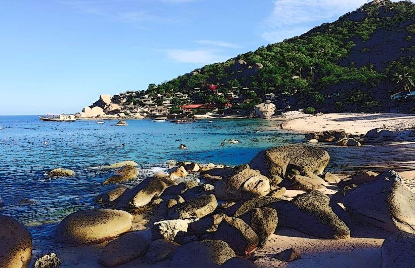
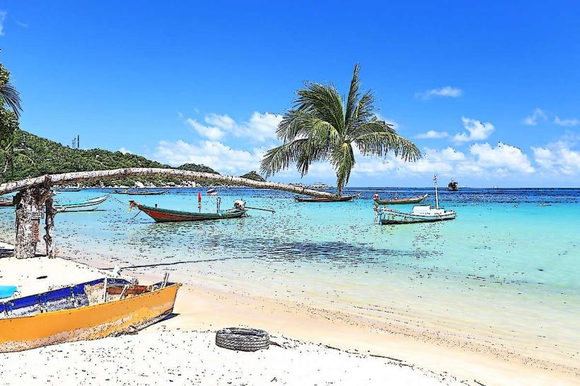
The beach features a wide expanse of light-colored, fine-grained sand. The water is generally clear, with a gradient of turquoise to deeper blue. Coconut palms and other tropical vegetation line the inland edge of the beach.
Location & Access Logistics
Sairee Beach is situated approximately 2 kilometers northwest of Mae Haad Pier, the primary arrival point for ferries to Koh Tao. Access is via paved roads from Mae Haad. Numerous motorbike rental shops are available near the pier and along the beach road. Parking is available along the main road parallel to the beach, though it can be limited during peak hours. Songthaew (shared taxi) services operate from Mae Haad Pier and can drop visitors at the southern end of Sairee Beach.
Historical & Ecological Origin
Sairee Beach is a natural coastal formation, part of the geological landscape of Koh Tao, which is primarily composed of granite. Historically, the island was a stopover for fishermen and traders. The beach's development into a tourist area began in the late 20th century with the rise of diving tourism.
Key Highlights & Activities
Activities include swimming, sunbathing, and snorkeling. The northern end of the beach is known for better snorkeling conditions, particularly around the rocky outcrops. Scuba diving is a primary activity, with numerous dive schools offering courses and trips. Kayaking and paddleboarding rentals are available. Sunset viewing is a common activity due to the beach's western orientation.
Infrastructure & Amenities
Restrooms and shower facilities are available at various beachfront establishments. Shade is provided by palm trees and umbrellas at resorts and restaurants. Cell phone signal (4G) is generally consistent along the beach. A range of food vendors, restaurants, and bars are located directly on or adjacent to the beach.
Best Time to Visit
The best time for clear water and calm seas is typically from December to April. For photography, the late afternoon leading up to sunset offers optimal lighting conditions. High tide can reduce the visible sand area, while low tide exposes more of the shoreline.
Facts & Legends
A notable feature at the northern end of Sairee Beach is the large, weathered rock formation known locally as "Tanote Rock," which is a popular landmark for divers and snorkelers. The beach is also known for its relatively shallow waters extending a considerable distance from shore.
Nearby Landmarks
- Mae Haad Village (1.5km South)
- Tanote Bay (2.5km East)
- Chalok Baan Kao Bay (4km South)
- Freedom Beach (3km Southwest)