Landmark: Chiang Mai Grand Canyon
City: Chiang Mai
Country: Thailand
Continent: Asia
Chiang Mai Grand Canyon, Chiang Mai, Thailand, Asia
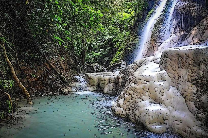
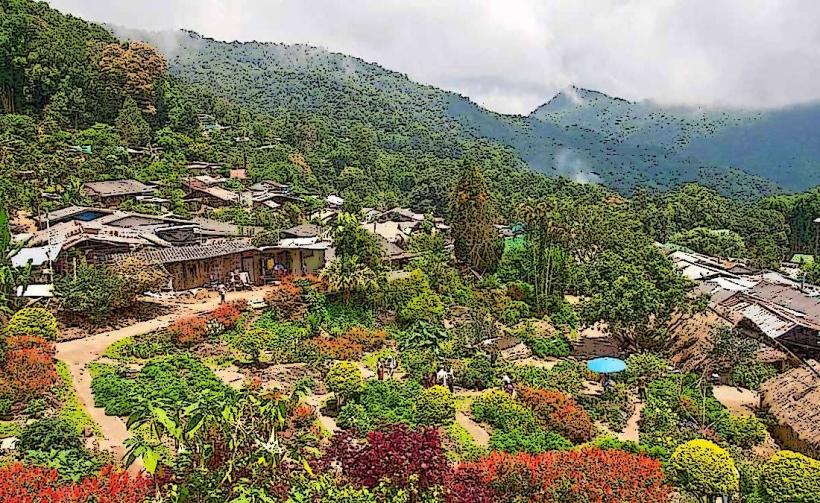
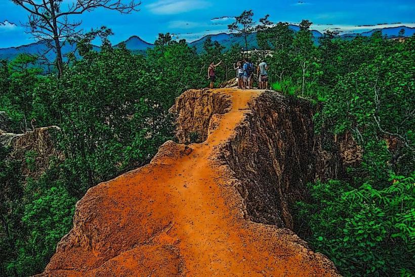
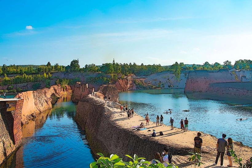
The Chiang Mai Grand Canyon is a man-made quarry located approximately 20 kilometers northwest of Chiang Mai, Thailand. It is characterized by steep, exposed rock walls and a large body of water at its base.
Visual Characteristics
The site features sheer cliffs of reddish-brown rock, some reaching heights of up to 30 meters. The quarry floor is filled with turquoise-colored water, a result of accumulated rainwater and groundwater. Vegetation is sparse on the cliff faces, with some hardy trees and shrubs growing at the rim.
Location & Access Logistics
The Chiang Mai Grand Canyon is accessible via Highway 107 (Chiang Mai-Mae Rim Road). Turn west onto Soi Mae Hia 10, then follow local signage. The distance from Chiang Mai city center is approximately 20 kilometers. Parking is available on-site, with a fee typically charged. Public transport options are limited; a taxi or a rented vehicle is recommended. Songthaews (red shared taxis) can be hired from Chiang Mai city, but direct routes are not guaranteed.
Historical & Ecological Origin
This site originated as a large quarry, primarily for excavating soil and rocks used in construction projects within Chiang Mai. The quarrying operations ceased years ago, and the resulting pit began to fill with water, creating the current landscape. The water body is a natural accumulation rather than a managed reservoir.
Key Highlights & Activities
Activities include swimming in the quarry water, cliff jumping from designated platforms (use with caution), and photography. Some areas offer opportunities for relaxation on the rocky edges. Inflatable water toys are often available for rent.
Infrastructure & Amenities
Basic amenities include a limited number of restrooms and some shaded seating areas, particularly near food stalls. Cell phone signal (4G) is generally available. Small food and drink vendors operate on-site, offering local snacks and beverages.
Best Time to Visit
The best time of day for photography is late afternoon, when the sun angle provides good illumination of the rock faces. The dry season, from November to February, offers the most pleasant weather with lower humidity and minimal rainfall. The water level can fluctuate depending on rainfall; visiting after a dry spell may result in a lower water level.
Facts & Legends
A local anecdote suggests that the vibrant color of the water is due to mineral deposits from the quarrying process, though scientific analysis is limited. Visitors are advised to be aware of the slippery nature of the rock surfaces, especially after rain.
Nearby Landmarks
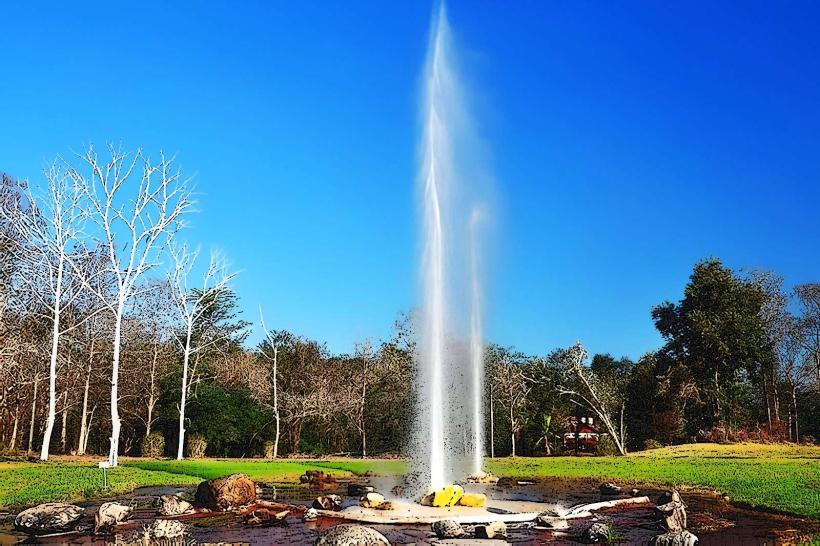
- Queen Sirikit Botanic Garden (3.5km Northeast)
- Doi Suthep-Pui National Park (15km Southeast)
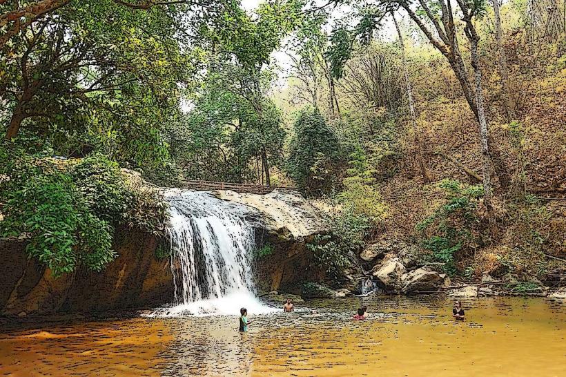
- Mae Sa Waterfall (18km Northeast)
- Baan Kang Wat Artist Village (12km South)