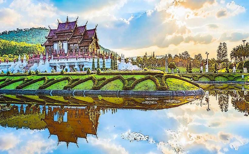
Landmark: Doi Inthanon National Park
City: Chiang Mai
Country: Thailand
Continent: Asia
Doi Inthanon National Park, Chiang Mai, Thailand, Asia
Doi Inthanon National Park is Thailand's highest peak, located in the Chom Thong District of Chiang Mai Province.
The park encompasses a significant portion of the Chom Thong mountain range, characterized by its high elevation and diverse ecosystems.
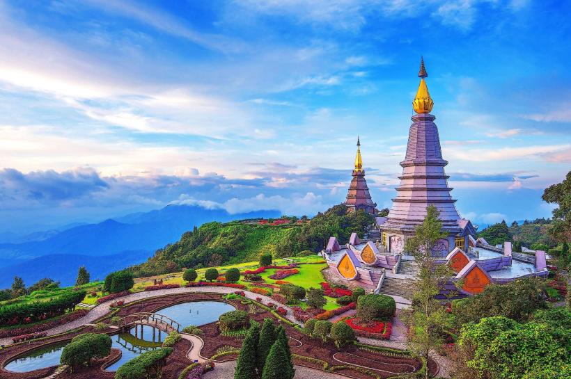
Visual Characteristics
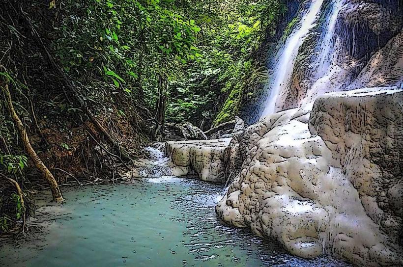
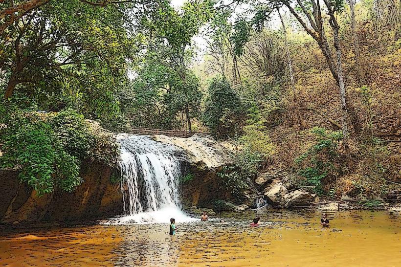
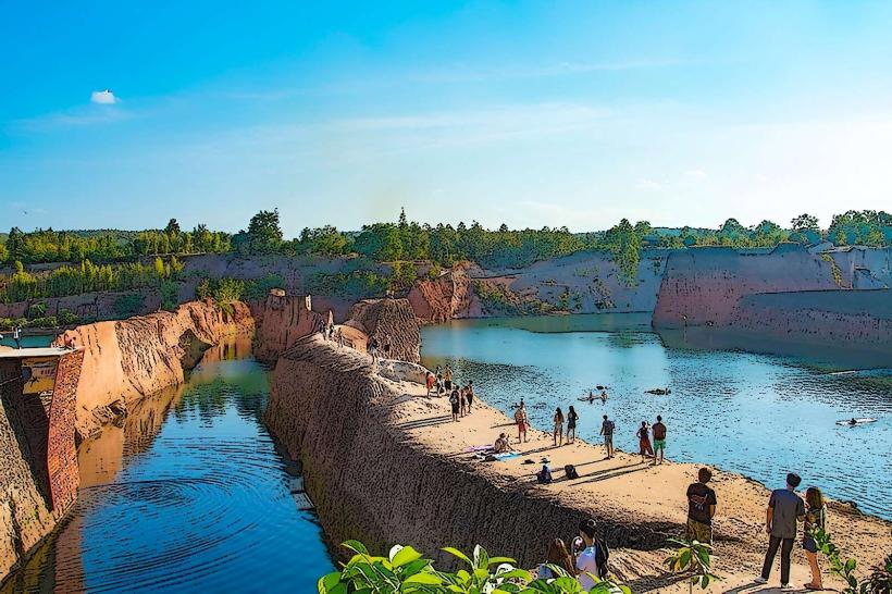
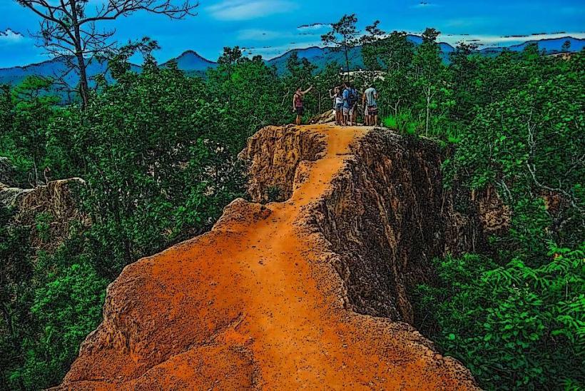
The park's landscape is dominated by steep mountain slopes covered in dense evergreen and mixed deciduous forests. Elevations range from 800 meters to over 2,500 meters. Waterfalls are a prominent feature, including Wachirathan Waterfall, which cascades over granite cliffs, and Mae Ya Waterfall, known for its wide, multi-tiered drop. The summit area features a cooler climate with moss-covered trees and specific alpine flora. The park's highest point is marked by a small pagoda and a meteorological station.
Location & Access Logistics
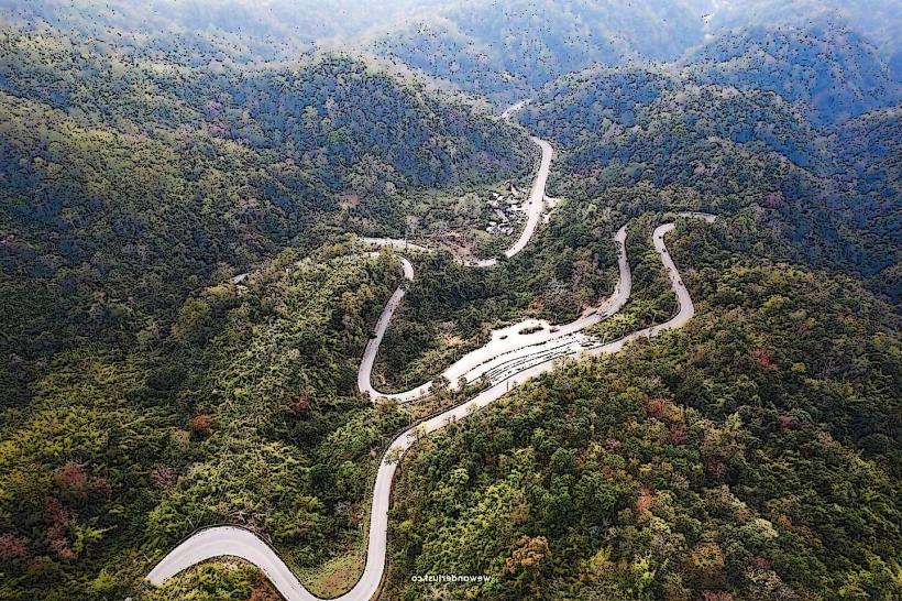
Doi Inthanon National Park is situated approximately 85 kilometers southwest of Chiang Mai city center. Access is primarily via Highway 1009 (Doi Inthanon Road). The road is paved and well-maintained, suitable for private vehicles. Parking is available at various points within the park, including near the summit, the Royal Pagodas, and major waterfalls. Public transport options are limited; shared minivans (songthaews) can be hired from Chiang Mai, or local buses operate to the park entrance, requiring further local transport or walking to specific sites. The journey from Chiang Mai typically takes 1.5 to 2 hours.
Historical & Ecological Origin
Doi Inthanon was designated a national park on October 2, 1972. The mountain itself was named after King Inthawichayanon, the last ruler of Chiang Mai, who recognized the importance of the forest in the north. Ecologically, the park is part of the Northern Highlands, a region characterized by its high biodiversity due to varied altitudes and rainfall patterns. It is a critical watershed area for the region.
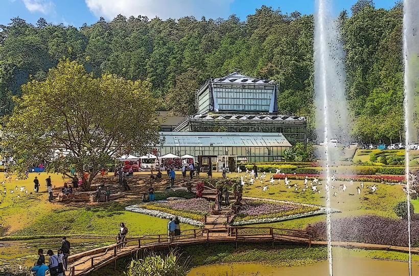
Key Highlights & Activities
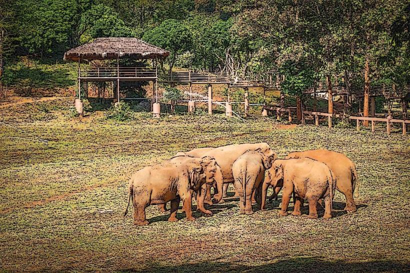
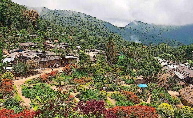
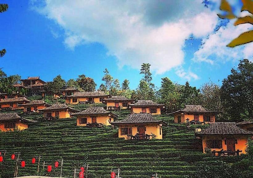
Visitors can hike the Ang Ka Nature Trail, a 360-meter boardwalk loop through cloud forest at the summit. The summit itself offers viewpoints and access to the King and Queen Pagodas (Phra Mahathat Naphamethanidon and Phra Mahathat Naphaphonphumisiri). Exploration of Wachirathan Waterfall and Mae Ya Waterfall is recommended. Birdwatching is a popular activity, with over 300 species recorded. The park also contains several Karen and Hmong hill tribe villages, accessible via specific trails or organized tours.
Infrastructure & Amenities
Restrooms are available at the park entrance, visitor center, and near major attractions like the pagodas and waterfalls. Shade is provided by forest canopy in many areas and by structures at viewpoints and visitor centers. Cell phone signal (4G/5G) is generally available in the lower sections of the park and near the summit, but can be intermittent in more remote areas. Food vendors and small restaurants are located near the park entrance, the Royal Pagodas, and some waterfall sites. Basic accommodation options are available within and just outside the park boundaries.
Best Time to Visit
The best time for weather is during the cool, dry season from November to February. Daytime temperatures at the summit can range from 10-15°C. The rainy season, from June to October, brings heavier rainfall but also results in more powerful waterfalls and lush vegetation. For photography, early morning light provides optimal conditions at the pagodas and viewpoints, avoiding midday glare. High tide is not a relevant factor for this terrestrial park.
Facts & Legends
Doi Inthanon is home to the rare Chestnut-tailed Minivet, a bird species often sought by ornithologists. A specific tip for visitors is to carry a light jacket or sweater, as temperatures at the summit can drop significantly, especially during the early morning and late evening, even in warmer months.
Nearby Landmarks
- Mae Klang Waterfall (2.5km Southwest)
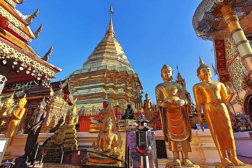
- Phra That Doi Suthep (45km Northeast)
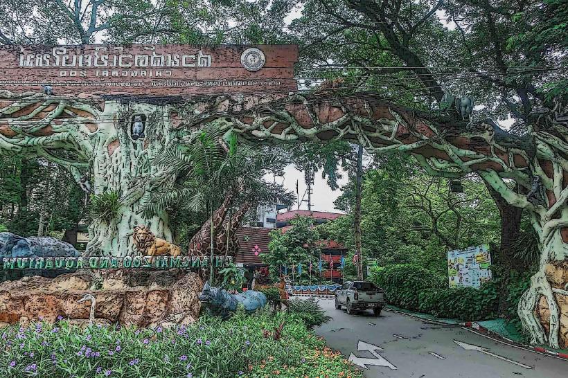
- Chiang Mai Zoo (48km Northeast)
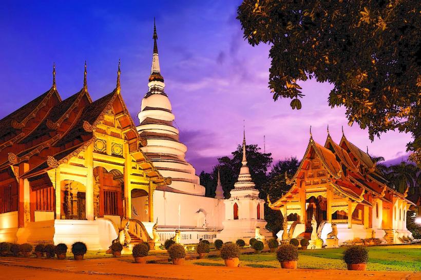
- Wat Phra Singh (50km Northeast)
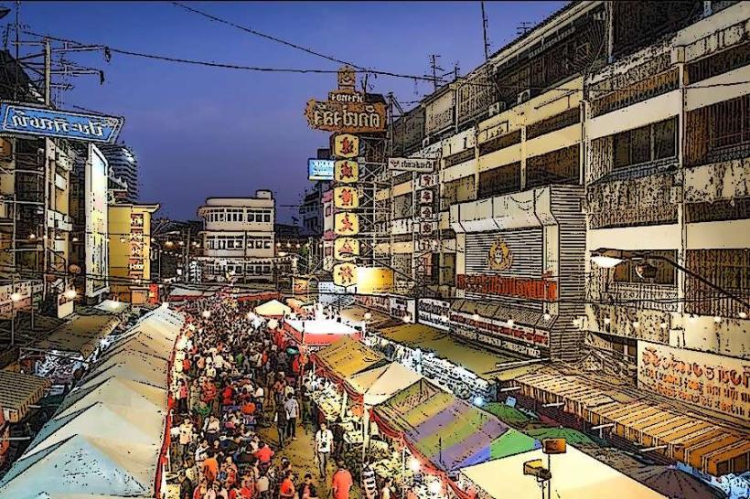
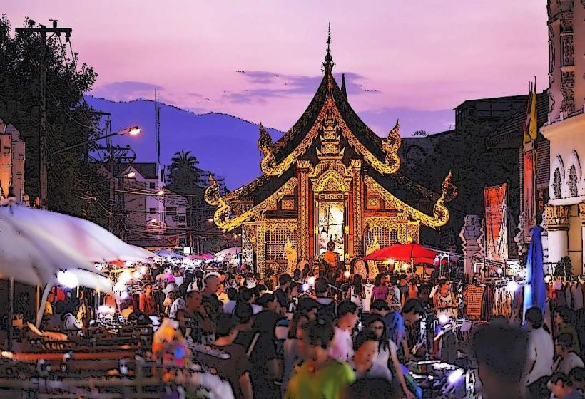
- Chiang Mai Night Bazaar (52km Northeast)