Landmark: Mae Hong Son Loop
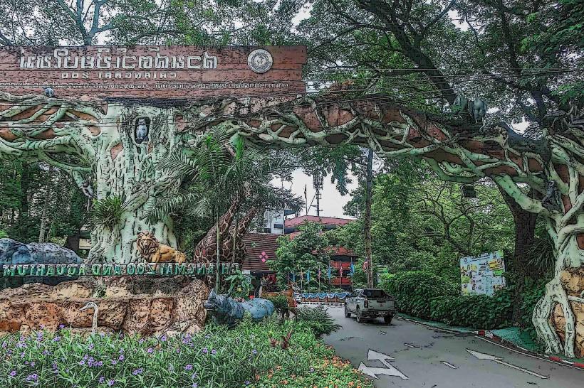
City: Chiang Mai
Country: Thailand
Continent: Asia
Mae Hong Son Loop, Chiang Mai, Thailand, Asia
The Mae Hong Son Loop is a 600-kilometer circular road route in Northern Thailand, commencing and concluding in Chiang Mai.
Visual Characteristics
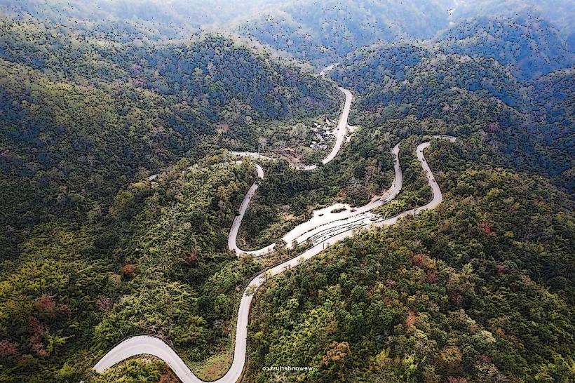
The route traverses varied terrain, including mountainous regions with dense jungle vegetation, limestone karst formations, and agricultural fields. Road surfaces are primarily asphalt, with sections of winding, two-lane highway. Elevation changes are significant, with altitudes reaching over 1,500 meters in some areas.
Location & Access Logistics
The loop begins in Chiang Mai. Access is via Highway 107 North, connecting to Highway 1095 West towards Pai. The route can be traversed by private vehicle (car or motorcycle) or by organized tour. Public transport options are limited to inter-city buses connecting major towns along the loop, such as Pai and Mae Hong Son. Parking is generally available in town centers and at designated viewpoints, though it can be limited in smaller villages.
Historical & Ecological Origin
The route largely follows existing pathways and trails that have been used by local ethnic groups for centuries. The modern road infrastructure was developed in stages, primarily for logistical and economic purposes, connecting remote communities. The region's ecology is characterized by tropical monsoon forests and karst topography, shaped by geological processes over millions of years.
Key Highlights & Activities
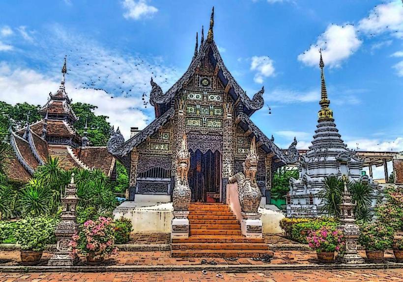
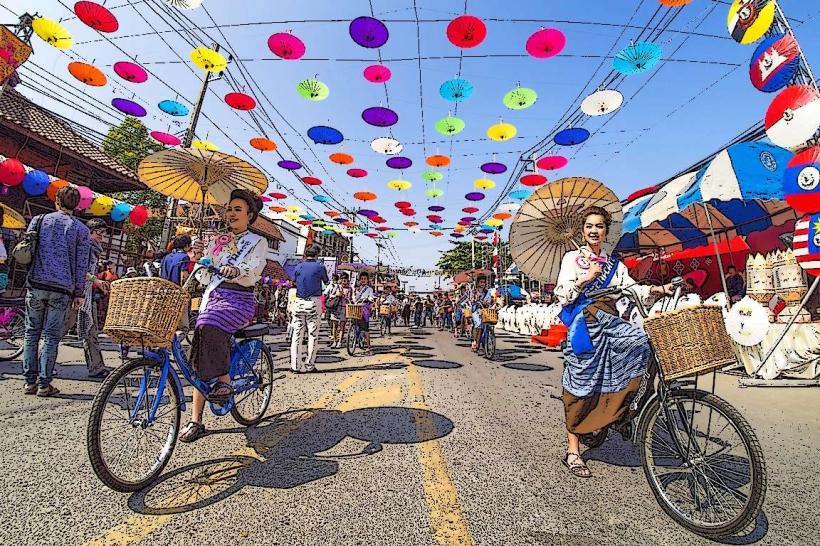
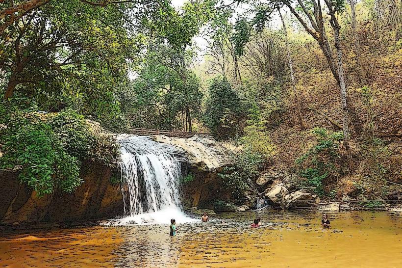
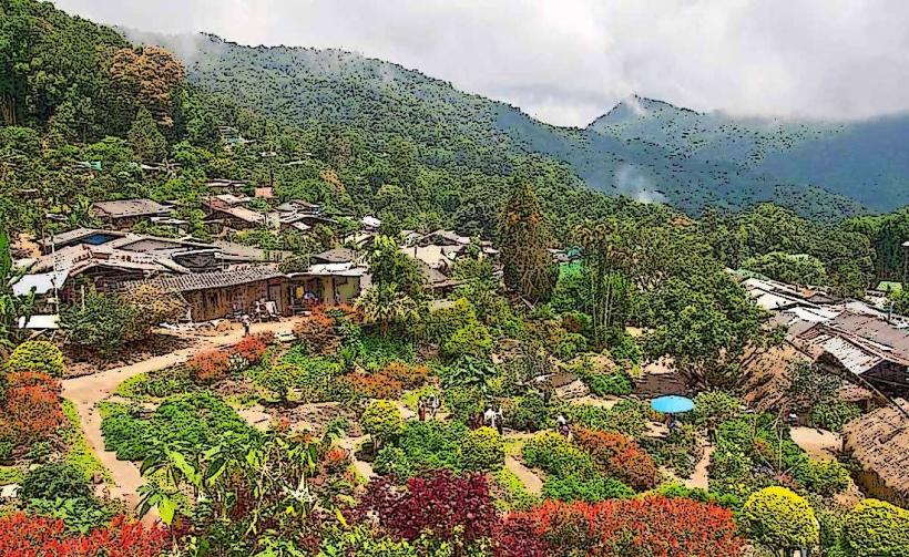
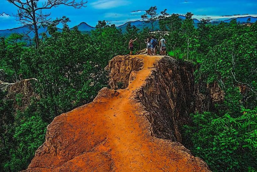
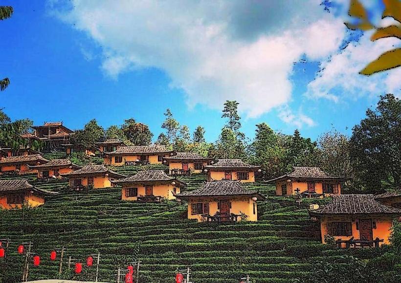
Activities include driving or riding the route, stopping at viewpoints for landscape observation, visiting hill tribe villages, exploring caves (e.g., Tham Lot), and hiking to waterfalls. Specific points of interest include the Pai Canyon, the Tham Lod cave system, and the town of Mae Hong Son itself, known for its Burmese-influenced architecture.
Infrastructure & Amenities
Restrooms are available at major towns, tourist attractions, and some roadside rest stops. Shade is provided by natural tree cover in forested areas and by structures at designated viewpoints. Cell phone signal (4G/5G) is intermittent, particularly in remote mountainous sections. Food vendors and small restaurants are present in towns and at popular stops along the route.
Best Time to Visit
The best months for visiting are generally from November to February, during the cool and dry season. Daytime temperatures range from 20-25°C. The period from June to October is the rainy season, which can lead to slippery road conditions and reduced visibility. Early morning and late afternoon offer optimal lighting for photography due to lower sun angles.
Facts & Legends
A notable historical aspect is the route's connection to the Shan people, who have a significant presence in the Mae Hong Son province. A local legend associated with Tham Lot cave speaks of a giant serpent that once inhabited the caverns.
Nearby Landmarks
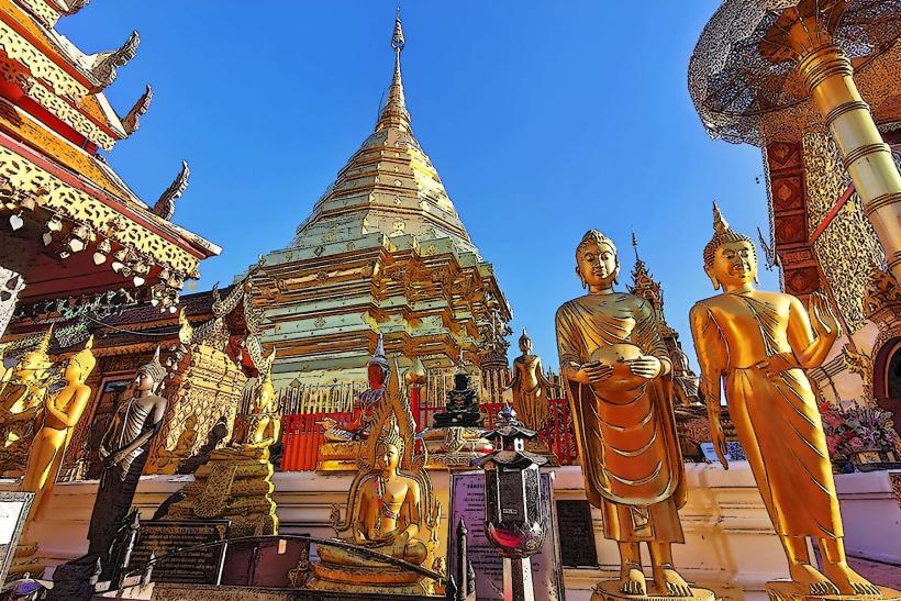
- Doi Suthep Temple (10km West of Chiang Mai city center)
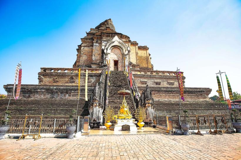
- Wat Chedi Luang (Within Chiang Mai city center)
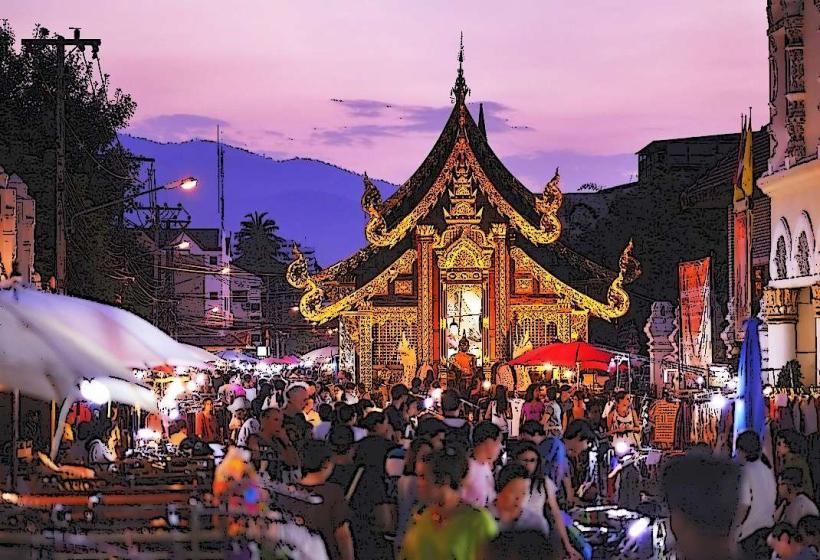
- Chiang Mai Night Bazaar (Within Chiang Mai city center)
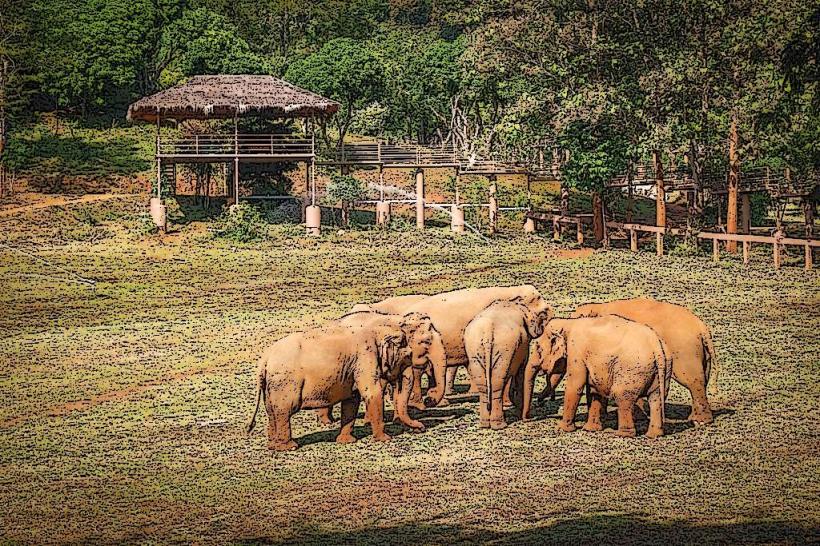
- Elephant Nature Park (30km North of Chiang Mai city center)
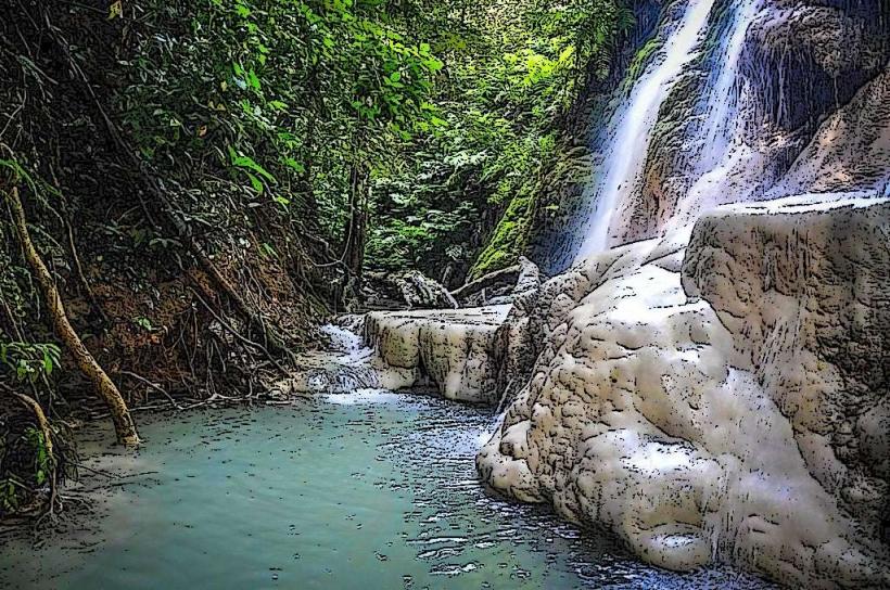
- Bua Tong Waterfalls (Sticky Waterfalls) (50km North of Chiang Mai city center)