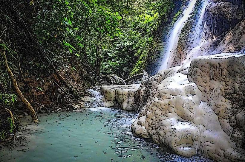
Landmark: Mae Sa Waterfall
City: Chiang Mai
Country: Thailand
Continent: Asia
Mae Sa Waterfall, Chiang Mai, Thailand, Asia
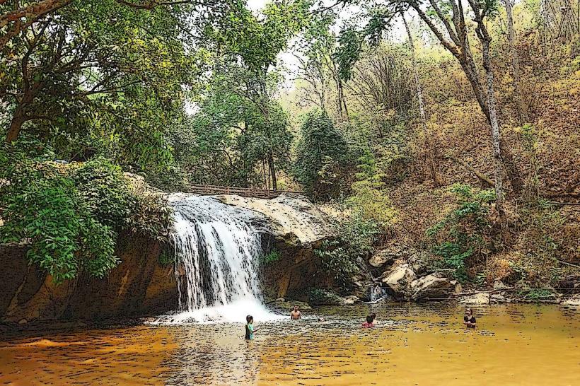
Mae Sa Waterfall is a multi-tiered cascade located within Doi Suthep-Pui National Park, approximately 18 kilometers northwest of Chiang Mai city center, Thailand.
Visual Characteristics
The waterfall consists of seven distinct levels, with the water flowing over limestone rock formations. The primary cascade drops approximately 15 meters. The surrounding vegetation is dense tropical rainforest, with a moderate canopy providing shade. The water color is typically clear to slightly milky depending on recent rainfall.
Location & Access Logistics
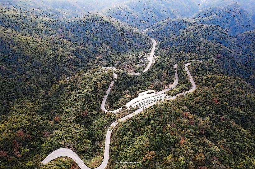
Access is via Highway 107 (Chiang Mai-Mae Rim Road) for approximately 10 kilometers, then turning onto Highway 1096 towards Mae Rim. The waterfall entrance is approximately 8 kilometers further along Highway 1096. A paved road leads directly to the parking area. Parking is available on-site and is managed by the national park. Public transport options are limited; songthaews (red shared taxis) can be hired from Chiang Mai city to Mae Rim, with onward connections to the waterfall being less frequent. The most direct access is by private vehicle or hired taxi.
Historical & Ecological Origin
Mae Sa Waterfall is a natural geological formation, part of the limestone karst topography of the region. It is situated within Doi Suthep-Pui National Park, established in 1981, which protects a significant area of montane forest and watershed for the Ping River basin.
Key Highlights & Activities
Visitors can walk along paved paths that follow the stream, providing access to viewing platforms at several levels. Swimming is permitted in designated pools at the base of some cascades. Hiking trails are available, with the main trail ascending alongside the waterfall's tiers. Photography opportunities exist at each level.
Infrastructure & Amenities
Restrooms are available near the entrance and parking area. Shade is provided by the natural forest canopy and some man-made shelters. Cell phone signal (4G) is generally available within the park. Food vendors operate near the entrance, offering local snacks and beverages.
Best Time to Visit
The best time of day for photography is generally mid-morning to early afternoon when sunlight penetrates the canopy. The optimal months for visiting are during the cool season, from November to February, when rainfall is minimal and temperatures are moderate. During the rainy season (June to October), water flow is highest, but trails can be slippery.
Facts & Legends
Local folklore suggests that the waterfall is inhabited by spirits, and offerings are sometimes left at the base of the main cascade. The seven tiers are often referred to as "seven sisters" in local stories.
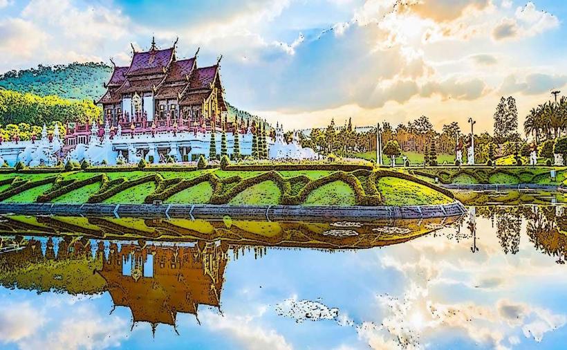
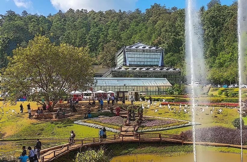
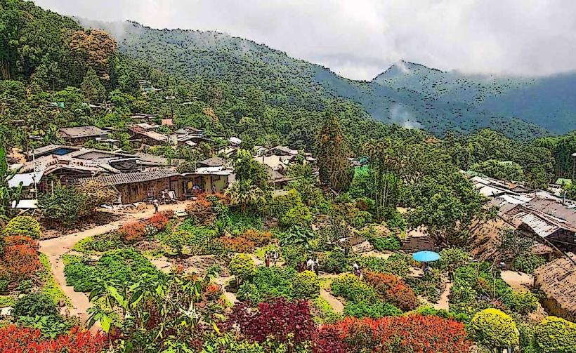
Nearby Landmarks
- Queen Sirikit Botanic Garden (2.5km Northwest)
- Mon Jam (7km Northwest)
- Doi Suthep Temple (15km Southwest)
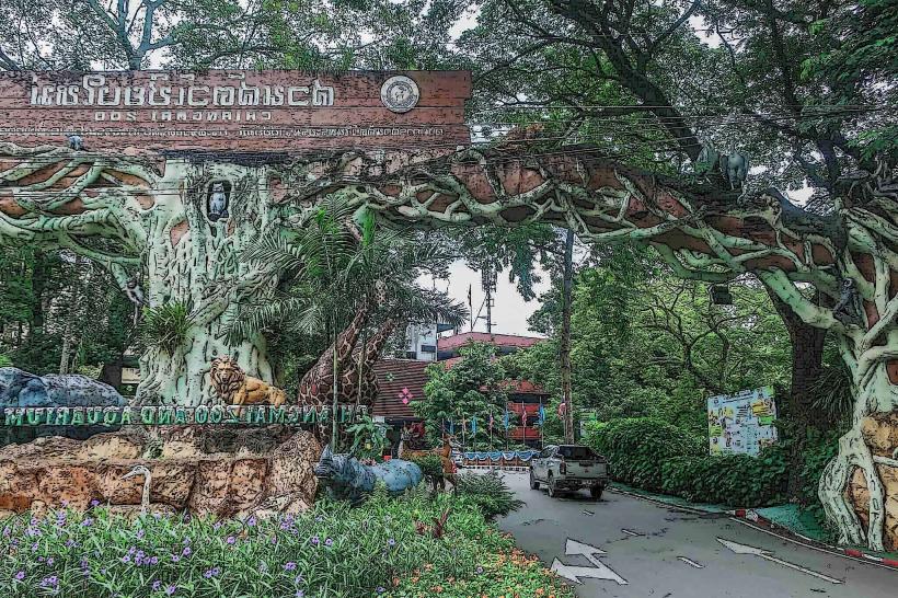
- Chiang Mai Zoo (16km South)
- Wat Phra That Doi Kham (18km Southwest)