Landmark: Falaj Al Aswad
City: Ibra
Country: Oman
Continent: Asia
Falaj Al Aswad, Ibra, Oman, Asia
Falaj Al Aswad is a significant ancient irrigation system located in the Wilayat of Mudhaibi within the Ash Sharqiyah North Governorate. It is a "Dawoodi" type falaj, characterized by deep underground channels that tap into the water table to provide a consistent supply for agricultural and domestic use.
Visual Characteristics
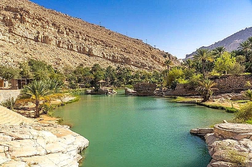
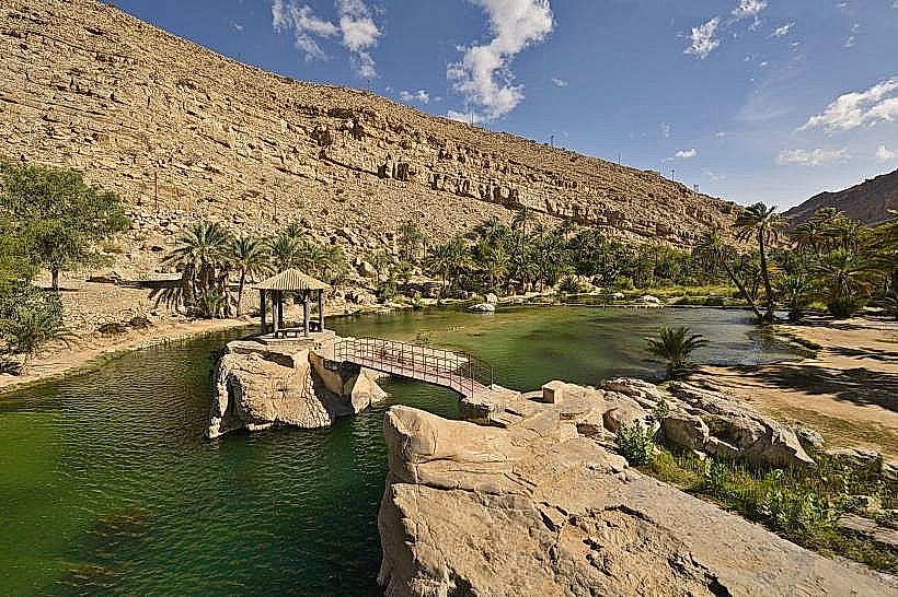
The site features narrow, stone-lined surface channels (saqiyah) that emerge from the ground and wind through dense palm groves. The water is typically clear and fast-moving within the primary distribution points. The surrounding landscape consists of traditional mud-brick watchtowers and reinforced access points (thugrah) used for maintaining the underground tunnels.
Location & Access Logistics
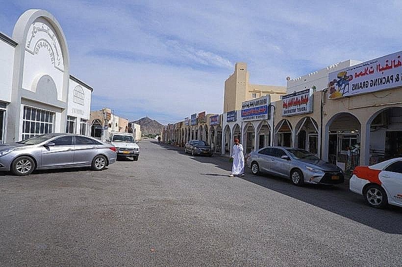
Access is via the Sinaw-Ibra road, approximately 160km from Muscat. The falaj is centrally located within the Mudhaibi township and is reachable by all vehicle types via paved municipal roads. Parking is available in open spaces near the main distribution pool (shari’a). There is no direct public transport; visitors use local taxis from the Sinaw bus terminal.
Historical & Ecological Origin
The system dates back several centuries and is part of a UNESCO-recognized tradition of Omani water management. Geologically, it draws from the alluvial aquifers at the base of the Eastern Hajar Mountains. The ecological impact is localized, creating a permanent green oasis in an otherwise arid desert environment, supporting date palms, limes, and seasonal fodder crops.
Key Highlights & Activities
Shari’a Observation: The primary point where the water reaches the surface is a communal gathering spot showcasing the engineering of the distribution gates.
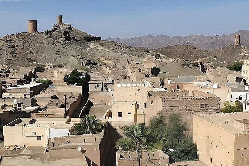
Oasis Walk: Pedestrian paths follow the channels through the "Harat" (old neighborhood), providing insight into traditional village layouts.
Engineering Study: The site features visible maintenance shafts and stone-slab bridges that demonstrate the durability of pre-modern Omani construction.
Infrastructure & Amenities
Includes basic public seating and shaded areas near the main water outlets.
Reliable 5G cellular signal is available throughout the village center.
Public restrooms and small grocery shops are located within a 5-minute walk in the modern section of Mudhaibi.
Best Time to Visit
The winter months (November to March) are optimal for walking the length of the channels. Early morning visits (07:00–09:00) offer the most tranquil atmosphere and the best lighting for the palm-shaded paths.
Facts & Legends
Local tradition dictates a strict "water rights" schedule managed by a "Wakil" (administrator), ensuring equitable distribution among farmers. A verified historical fact: Falaj Al Aswad is noted for its high flow rate even during periods of extended drought, making it one of the most reliable water sources in the Sharqiyah interior.
Nearby Landmarks
Sinaw Souq (15km Southwest)
Mudayrib Village (45km East)
Ibra Old Market (55km Northeast)
Wadi Indam (30km West)