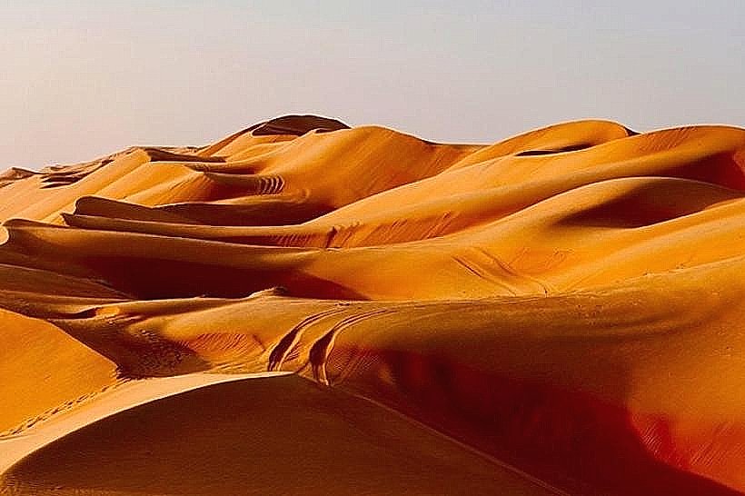
Landmark: Sharqiyah Sands
City: Ibra
Country: Oman
Continent: Asia
Sharqiyah Sands, Ibra, Oman, Asia
Sharqiyah Sands (formerly known as Wahiba Sands) is a vast desert region in the Ash Sharqiyah North and South Governorates. It covers an area of approximately 12,500 square kilometers, extending 180km from north to south and 80km from east to west toward the Arabian Sea.
Visual Characteristics
The landscape is defined by longitudinal dunes that rise up to 100 meters in height. The sand color shifts from a pale honey-gold near the northern entry points to a deep copper-red in the interior. The dunes are separated by wide, flat interdunal corridors (valleys) composed of compacted sand and carbonate crusts. Sparse vegetation, primarily ghaf trees and desert shrubs, clings to the base of the larger formations.
Location & Access Logistics
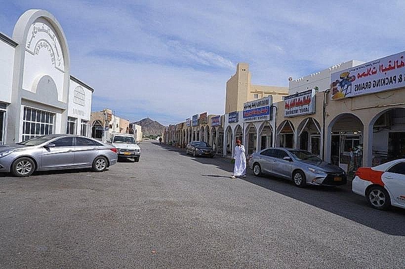
Access is primarily through the towns of Al Kamil, Al Wasil, or Bidiya along Route 23. While the edges of the sands are reachable by 2WD for short distances on graded tracks, a 4WD vehicle is mandatory for any travel into the dune fields. Drivers must deflate tire pressure to approximately 15–18 psi to maintain traction. There is no public transport into the desert; visitors arrive via private vehicle or pre-arranged desert camp transfers.
Historical & Ecological Origin
The sands were formed during the Quaternary period by the interaction of the southwest monsoon and the northern "shamal" winds. Geologically, the region is unique for its "aeolianite" (fossilized dunes) found in the southern reaches. The desert is the ancestral home of the Bani Wahiba tribe, who traditionally migrated through the sands with livestock. The ecosystem supports 150 species of flora and diverse fauna, including the Arabian gazelle, Rüppell's fox, and various sand-dwelling reptiles.
Key Highlights & Activities
Dune Bashing: High-clearance 4WD vehicles are used to navigate the steep slip faces of the longitudinal dunes.
Desert Camping: The region hosts numerous permanent luxury and traditional Bedouin-style camps, ranging from basic tents to air-conditioned chalets.
Sunset Photography: The high ridges of the dunes provide unobstructed views of the horizon, with the shifting light emphasizing the ripple patterns in the sand.
Bedouin Interaction: Several camps offer insights into traditional nomadic life, including camel trekking and traditional Omani coffee (kahwa) ceremonies.
Infrastructure & Amenities
Infrastructure is concentrated in the gateway towns (Bidiya and Al Wasil), which provide fuel stations, tire repair shops, and grocery stores. Within the sands, amenities are limited to the specific desert camps, which provide water, meals, and restrooms for guests. Cellular signal (5G/4G) is generally available near the northern fringes and major camps but becomes non-existent in the deep interior valleys.
Best Time to Visit
The winter season from October to March is the only viable time for exploration, with daytime temperatures between 25°C and 30°C and cool nights that can drop below 10°C. Summer temperatures regularly exceed 45°C, making the deep desert hazardous. Travelers should enter the sands in the early morning or late afternoon to avoid the most intense heat and flat midday light.
Facts & Legends
The Sharqiyah Sands are often cited by geologists as a "perfect" desert due to the regularity of the longitudinal dune system. A verified safety requirement: never enter the deep desert as a single vehicle; a minimum of two 4WD vehicles equipped with recovery gear (sand ladders, shovels, and kinetic ropes) is the standard safety protocol for the interior.
Nearby Landmarks
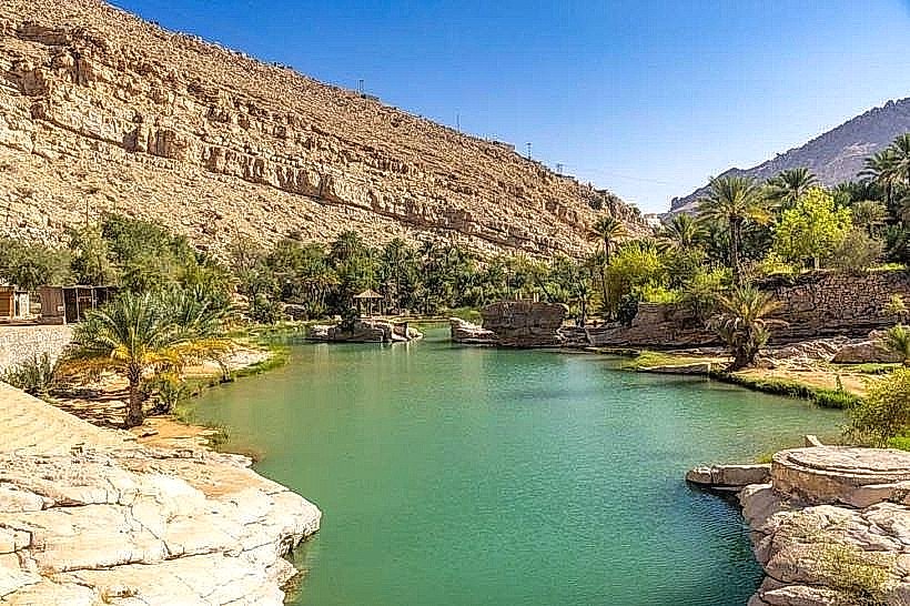
Wadi Bani Khalid (45km Northeast)
Bidiya (Northern Entry Point)
Al Kamil Wal Wafi (Eastern Entry Point)
Jalan Bani Bu Ali (Southern Edge)