Landmark: Fort William
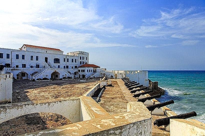
City: Cape Coast
Country: Ghana
Continent: Africa
Fort William, Cape Coast, Ghana, Africa
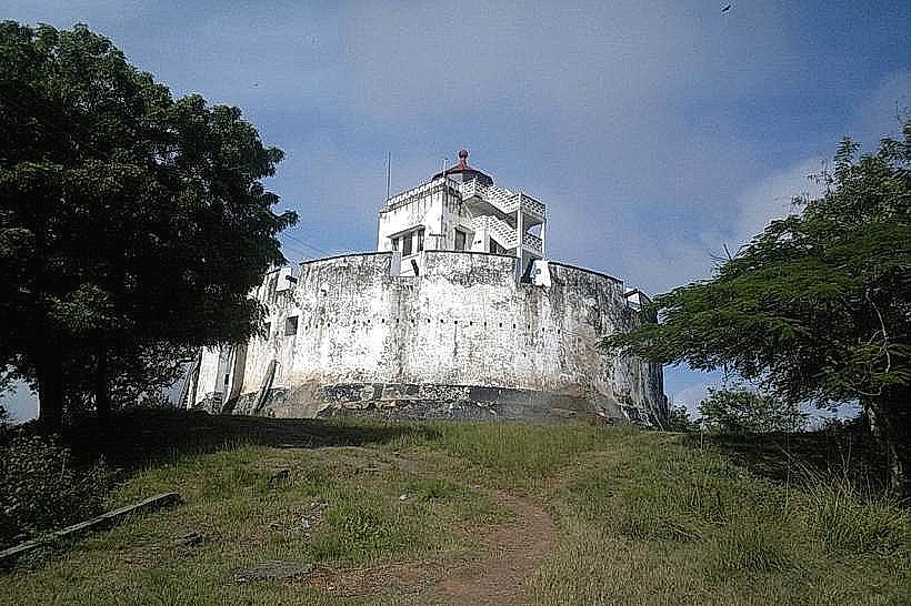
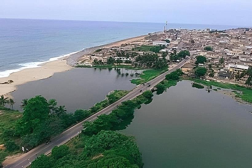
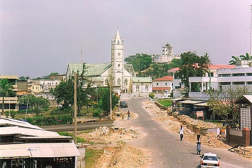
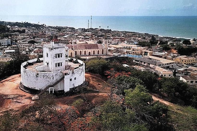
Fort William is a prominent hilltop fortification and lighthouse situated on Dawson’s Hill in Cape Coast, Ghana. Built originally as a defensive outpost, it stands as one of the highest points in the city, offering a 360-degree view of the surrounding coastline and urban center.
Visual Characteristics
The structure is a circular stone and brick tower rising approximately 20 meters from its base. It features a whitewashed exterior with a red-painted lantern room at the summit. The architectural style is utilitarian colonial military, characterized by thick masonry walls and narrow arched windows designed for both ventilation and lookout points.
Location & Access Logistics
The fort is located on William Street, approximately 0.6km north of the Cape Coast Castle. It is accessible via a steep paved road that leads from the city center to the top of Dawson's Hill. Visitors can reach the site on foot from the main commercial district or via a short taxi ride from the Kotokuraba Market area. Limited parking is available at the base of the hill.
Historical & Ecological Origin
Construction began in 1819 under British Governor Hope Smith and was completed in 1820. Named after King William IV, the fort was initially designed to serve as a signal station and a secondary defensive position to protect the inland approach to Cape Coast Castle. It was converted into a lighthouse in the 1830s to aid maritime navigation in the Gulf of Guinea.
Key Highlights & Activities
The primary activity is ascending the interior spiral staircase to the gallery for panoramic views of the Atlantic Ocean and the Cape Coast municipality. Guided tours are often provided by local caretakers who explain the signaling systems used between the fort and the main castle. Photography of the coastline is the most common use of the upper deck.
Infrastructure & Amenities
The site is a rugged historical landmark with minimal modern infrastructure. There are no public restrooms or indoor climate control within the tower. High-ground location ensures strong 4G/5G cell signal reception. There are no food or water vendors on-site, so visitors must carry supplies from the town below.
Best Time to Visit
The best time for photography is during the golden hour, approximately 16:30 to 17:30, to capture the sunset over the Elmina coastline. To avoid the midday equatorial heat, visits should be scheduled before 10:00. The site remains accessible year-round, though visibility can be reduced during the Harmattan season (December to February) due to Saharan dust.
Facts & Legends
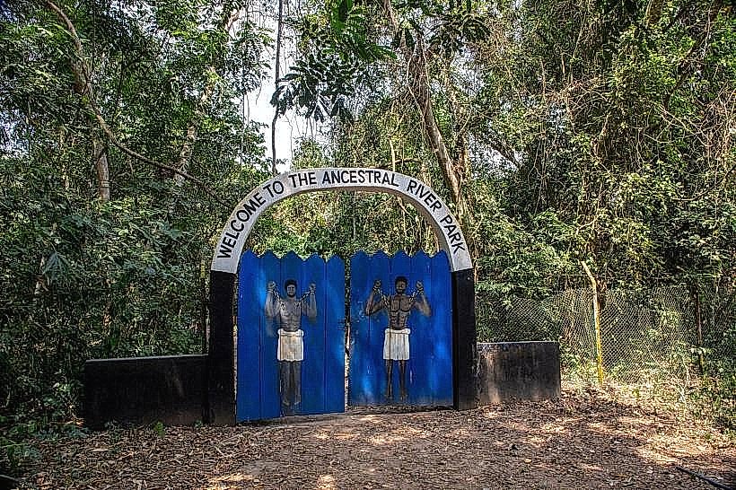
While primarily a lighthouse, the fort once housed a large brass bell used to warn the town of approaching ships or potential fires. Local oral history suggests the hill was a sacred site for indigenous deities long before the British fortification was erected, and small traditional shrines can still be found in the vicinity of the hill's slopes.
Nearby Landmarks
Cape Coast Castle – 0.6km South
Kotokuraba Market – 0.5km Northeast
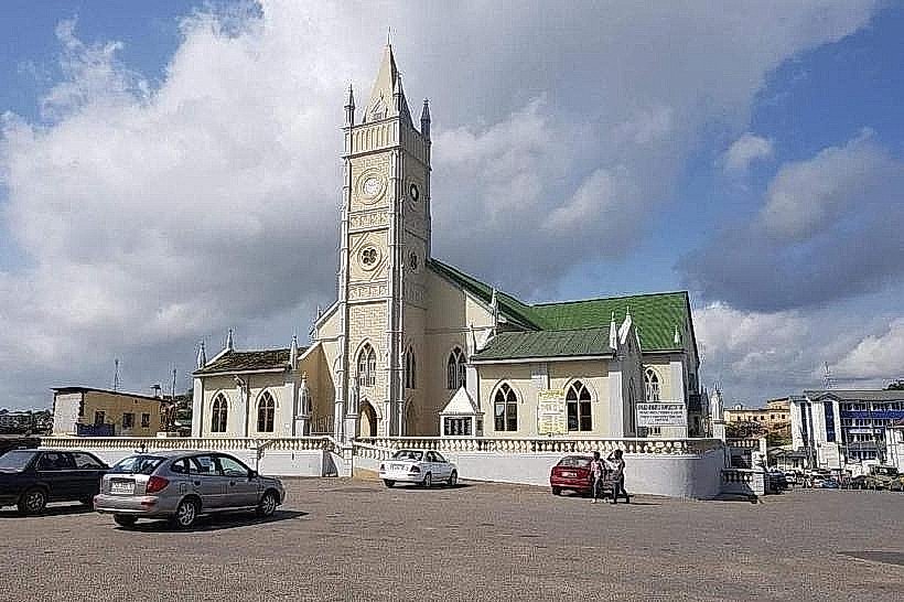
Wesley Methodist Cathedral – 0.3km Southwest
Victoria Park – 0.5km South