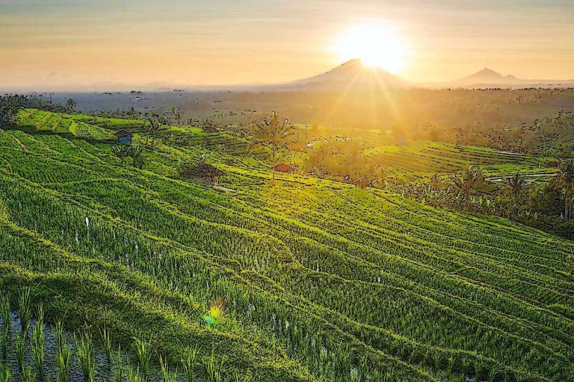
Landmark: Jatiluwih Rice Terraces
City: Bali
Country: Indonesia
Continent: Asia
Jatiluwih Rice Terraces, Bali, Indonesia, Asia
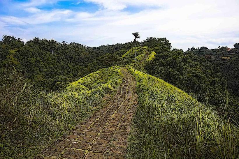
The Jatiluwih Rice Terraces are an extensive agricultural landscape located in the Tabanan Regency of Bali, Indonesia. This UNESCO World Heritage site showcases a traditional Balinese subak irrigation system.
Visual Characteristics
The terraces are characterized by their layered structure, descending across the hillsides. The dominant color is green, from the rice paddies, which changes with the growth cycle of the rice. The soil is dark brown. The landscape is defined by the contours of the land, with stone and earth walls forming the boundaries of each terrace. The area is characterized by moderate slopes and open vistas.
Location & Access Logistics
Jatiluwih is situated approximately 45 kilometers northwest of Denpasar, Bali's capital. Travel time from Denpasar is typically 1.5 to 2 hours by car. The primary access route is via Jalan Raya Penebel. Parking is available at designated areas near the main viewpoints and entrance points. Public transport directly to Jatiluwih is limited; private car hire or motorcycle rental are the most common methods of access.
Historical & Ecological Origin
The Jatiluwih rice terraces are a testament to the ancient subak system, a UNESCO-recognized cooperative irrigation system that has been practiced for over a thousand years. This system is based on the Balinese philosophy of Tri Hita Karana, emphasizing harmony between humans, nature, and the spiritual realm. The terraces themselves are a result of centuries of agricultural adaptation to the local topography.
Key Highlights & Activities
Visitors can walk or cycle along the designated paths that wind through the terraces. Photography is a primary activity due to the visual scale of the landscape. Several viewpoints offer panoramic perspectives. Guided walks are available, providing insight into the subak system and local farming practices. The area is suitable for birdwatching.
Infrastructure & Amenities
Restrooms are available at designated visitor centers and some viewpoints. Shade is provided by the natural landscape and some strategically placed gazebos. Cell phone signal (4G) is generally available in most areas. Food vendors and small warungs (local eateries) are located near the main entrance and at key viewpoints, offering local Indonesian cuisine.
Best Time to Visit
The best time of day for photography is early morning or late afternoon when the sunlight creates distinct shadows and highlights on the terraces. The best months to visit are during the dry season, from April to September, when the rice is typically green and lush. The wet season (October to March) can bring rain, which may affect visibility and accessibility.
Facts & Legends
A unique aspect of the subak system is its democratic nature; water allocation is decided by village councils, ensuring equitable distribution. Local lore suggests that the terraces were created by a mythical figure who carved the land with his bare hands.
Nearby Landmarks
- Ulun Danu Beratan Temple (20km Northeast)
- Mount Batukaru (15km Northwest)
- Banyumala Twin Waterfalls (25km North)
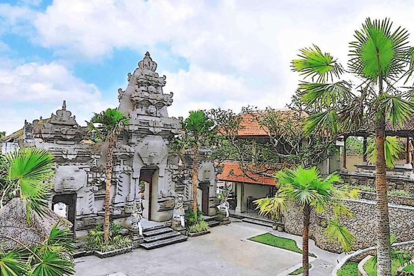
- Pura Luhur Batukaru (15km Northwest)