Landmark: Mount Batur
City: Bali
Country: Indonesia
Continent: Asia
Mount Batur, Bali, Indonesia, Asia
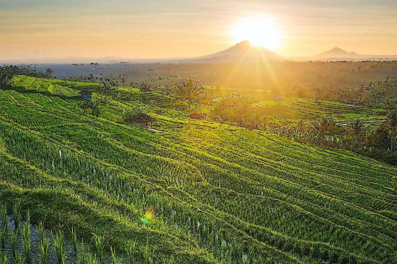
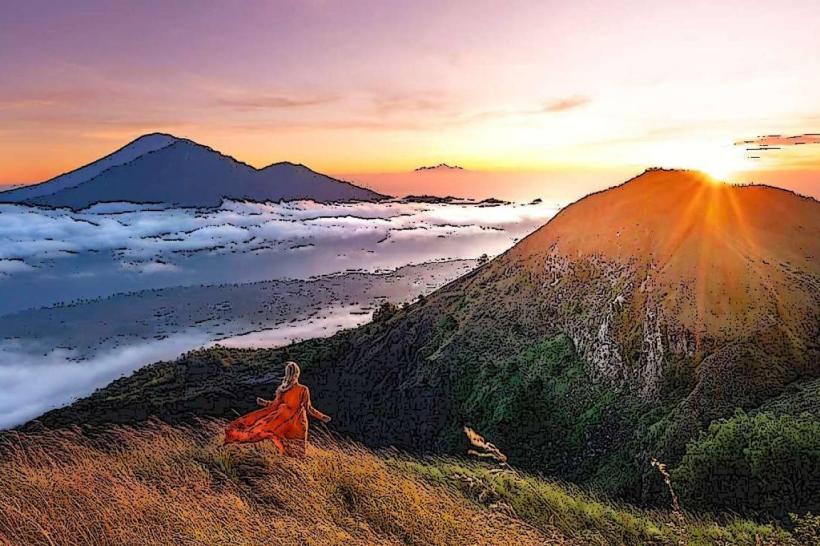
Mount Batur is an active volcano located in Kintamani, Bali, Indonesia. It is part of a larger caldera complex.
Visual Characteristics
The volcano's summit cone reaches an elevation of 1,717 meters (5,633 feet). The crater rim is characterized by dark volcanic rock and sparse vegetation. The caldera lake, Lake Batur, is a prominent feature, measuring approximately 7.5 kilometers (4.7 miles) long and 2.5 kilometers (1.6 miles) wide. The lake's water color varies from deep blue to green depending on atmospheric conditions and depth.
Location & Access Logistics
Mount Batur is situated in the Kintamani district of Bali, approximately 60 kilometers (37 miles) north of Denpasar. Access is typically via Jalan Raya Kintamani. The trailhead for the summit hike is located near Pura Jati Batur. Parking is available at designated points near the trailhead, often managed by local guides. Public transport to Kintamani is limited; private car hire or organized tours are the most common methods of access.
Historical & Ecological Origin
Mount Batur is a stratovolcano formed by volcanic activity over thousands of years. Its most significant eruption occurred in 1917, reshaping the landscape and creating the current caldera. The volcano is part of the Pacific Ring of Fire and is classified as a Holocene volcano. The surrounding area is a UNESCO Global Geopark, recognized for its geological and cultural significance.
Key Highlights & Activities
The primary activity is hiking to the summit for sunrise views. The ascent typically takes 1.5 to 2 hours. Visitors can explore the crater rim and observe steam vents. Boat trips on Lake Batur are available. Some tours include visits to hot springs located on the lake's edge.
Infrastructure & Amenities
Basic facilities, including restrooms and small food stalls selling snacks and drinks, are present at the trailhead. Cell phone signal (4G) is generally available at lower elevations and near the village, but can be intermittent on the upper slopes. Shade is limited during the ascent.
Best Time to Visit
The best time for hiking is during the dry season, from April to September. Sunrise hikes commence before dawn, typically around 3:00 AM to 4:00 AM, to reach the summit by sunrise. The lighting is optimal for photography between 6:00 AM and 7:30 AM.
Facts & Legends
Local belief attributes the formation of Mount Batur to the god Batara Guru. A specific legend states that the volcano erupted to punish a king who had stolen a sacred jewel. The caldera lake is considered a sacred body of water by the local Balinese Hindu community.
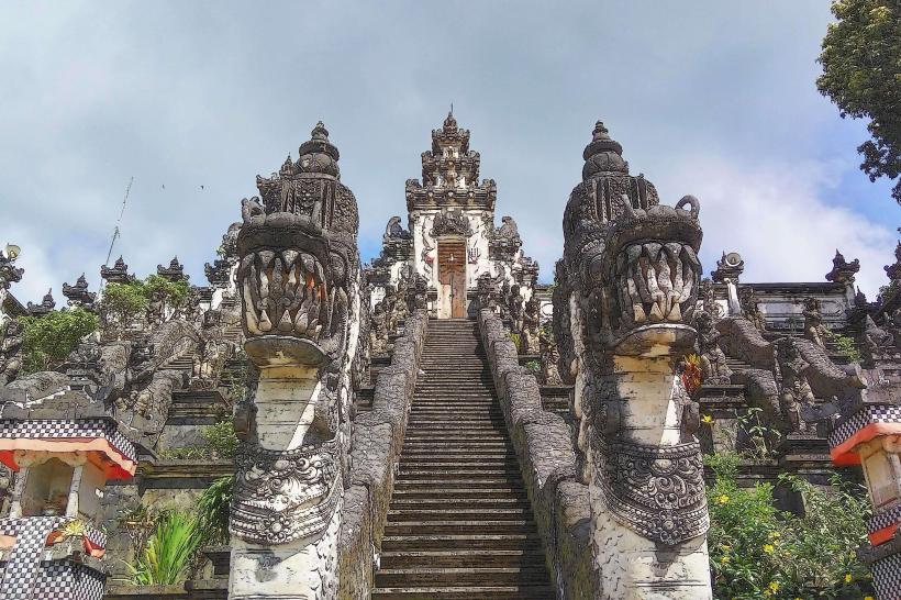
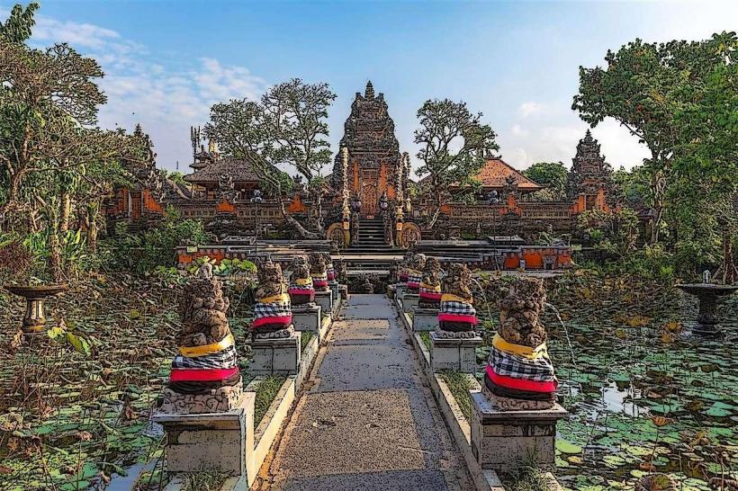
Nearby Landmarks
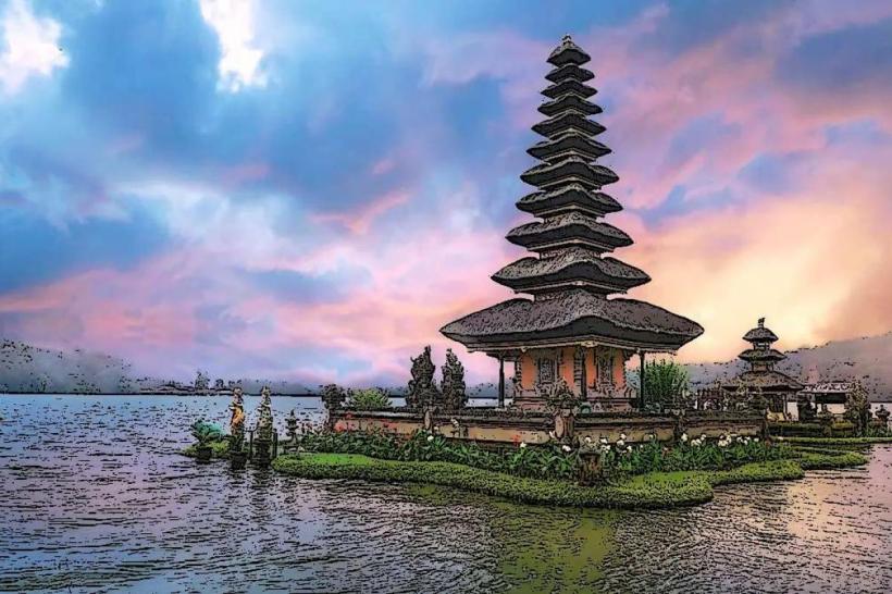
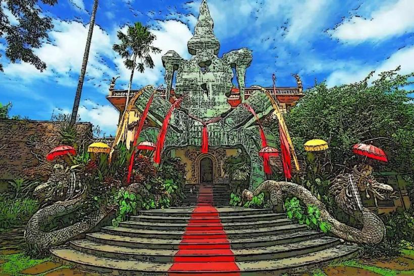
- Pura Ulun Danu Batur (0.8km West)
- Lake Batur (1.2km Southwest)
- Kintamani Village (2.5km North)
- Mount Abang (4.0km Southeast)
- Toya Bungkah Hot Springs (4.5km Southwest)