Information
Landmark: Oleta River State ParkCity: Miami
Country: USA Florida
Continent: North America
Oleta River State Park, Miami, USA Florida, North America
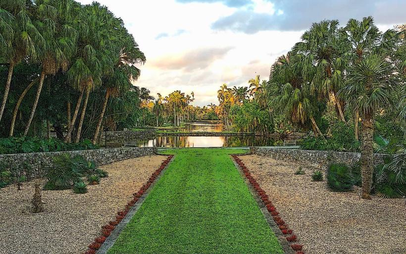
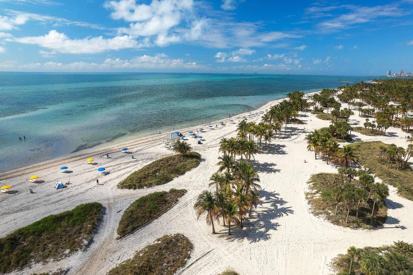
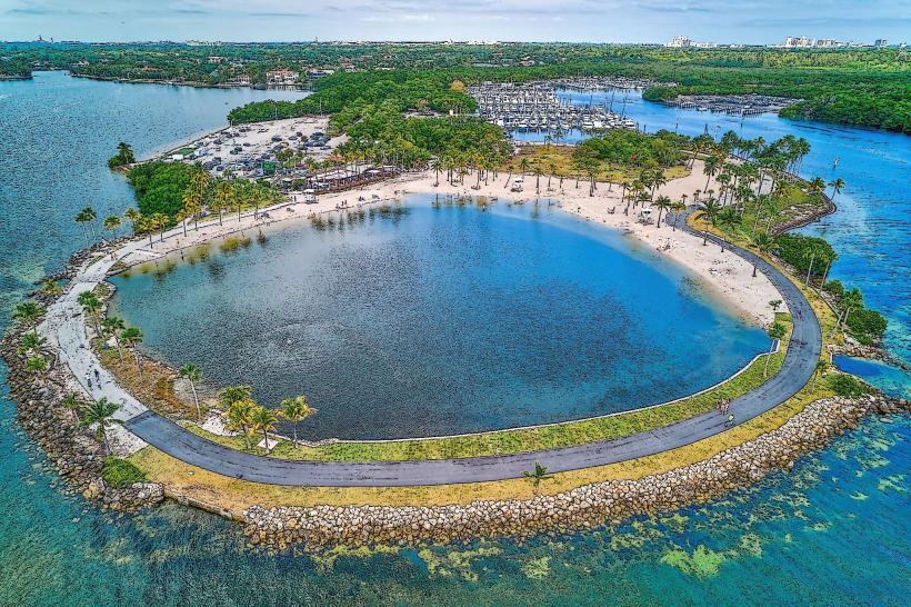
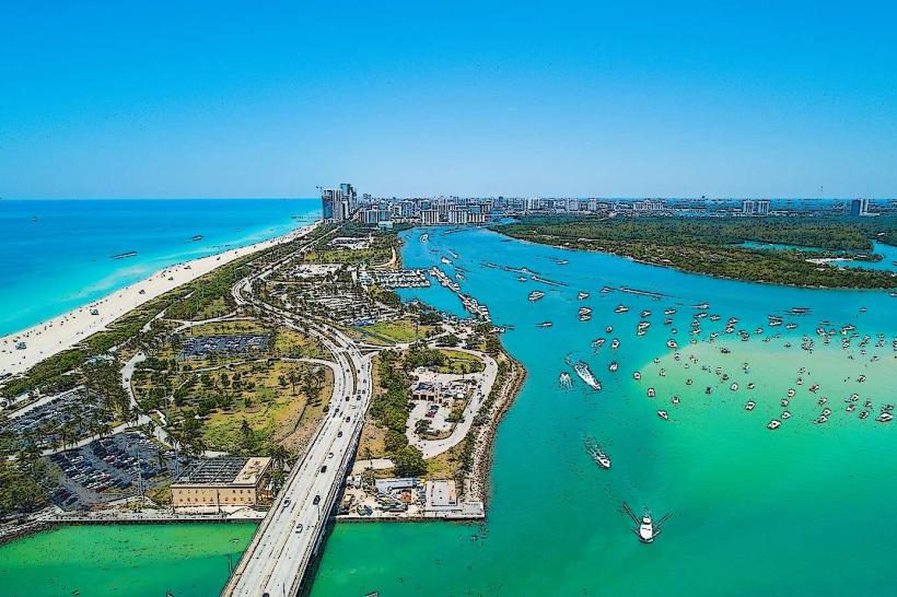
Oleta River State Park is a 1,043-acre protected area situated in North Miami Beach, Florida. It is the largest urban park in the state and is characterized by its mangrove forests and tidal rivers.
Visual Characteristics
The park features extensive mangrove ecosystems, primarily red mangroves, with dense foliage. The Oleta River and its tributaries are brackish water channels. The terrain is generally flat, with sandy soil and occasional limestone outcroppings. The park includes a coastline along the Intracoastal Waterway.
Location & Access Logistics
Oleta River State Park is located at 3400 NE 163rd Street, North Miami Beach, FL 33160. It is approximately 15 miles northeast of downtown Miami. Access is via NE 163rd Street (State Road 826). Parking is available within the park, with fees typically charged per vehicle. Public transport options are limited; however, Miami-Dade Transit bus route 79 stops near the park entrance.
Historical & Ecological Origin
The park was established in 1985. The area's ecological significance lies in its role as a vital mangrove habitat, supporting diverse marine and bird life. Mangrove forests are crucial for coastal protection and act as nurseries for many fish species. The land was previously used for various purposes, including residential development and a former amusement park before its preservation.
Key Highlights & Activities
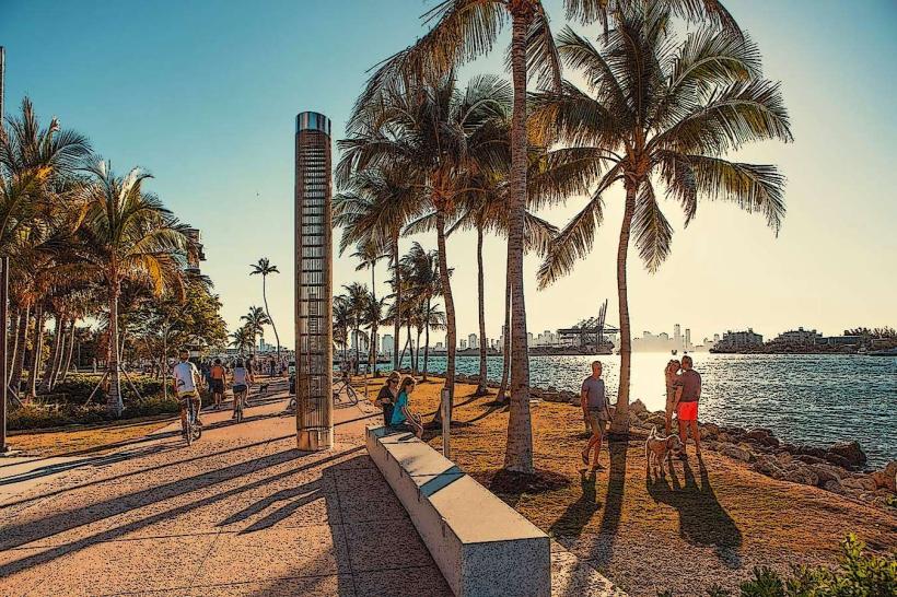
Activities include kayaking and canoeing on the Oleta River and its canals. Bicycle rentals are available for use on the park's paved roads and off-road trails. Swimming is permitted at the designated beach area. Fishing is allowed from designated areas. Birdwatching is a common activity due to the park's diverse avian population.
Infrastructure & Amenities
Restrooms are available at various points within the park. Picnic areas with tables and grills are provided. Shade structures are present in some picnic zones. Cell phone signal (4G/5G) is generally available throughout the park. Food vendors are typically located near the main entrance and beach area.
Best Time to Visit
The best time for outdoor activities is during the cooler months, from November to April, when temperatures are milder. Early morning or late afternoon offers optimal lighting for photography, particularly of the mangrove canopy and water. High tide is generally preferred for kayaking and canoeing to ensure easier navigation through the river channels.
Facts & Legends
Oleta River State Park is situated on land that was once home to a significant portion of the Seminole tribe's territory. A specific local legend speaks of a hidden treasure buried by pirates along the Oleta River, though no verifiable evidence supports this claim. The park's mangrove ecosystem is one of the largest remaining in South Florida.
Nearby Landmarks
- North Beach Park: 2.5km Southeast
- Haulover Park: 3.0km South
- Sunny Isles Beach: 4.0km Northeast
- Bal Harbour Shops: 4.5km South
- Greynolds Park: 1.0km Northwest