Landmark: West Baray Reservoir
City: Siem Reap
Country: Cambodia
Continent: Asia
West Baray Reservoir, Siem Reap, Cambodia, Asia
The West Baray Reservoir is a large man-made water body located west of Angkor Wat in Siem Reap, Cambodia. It functions as a significant historical hydraulic engineering project and a local recreational area.
Visual Characteristics
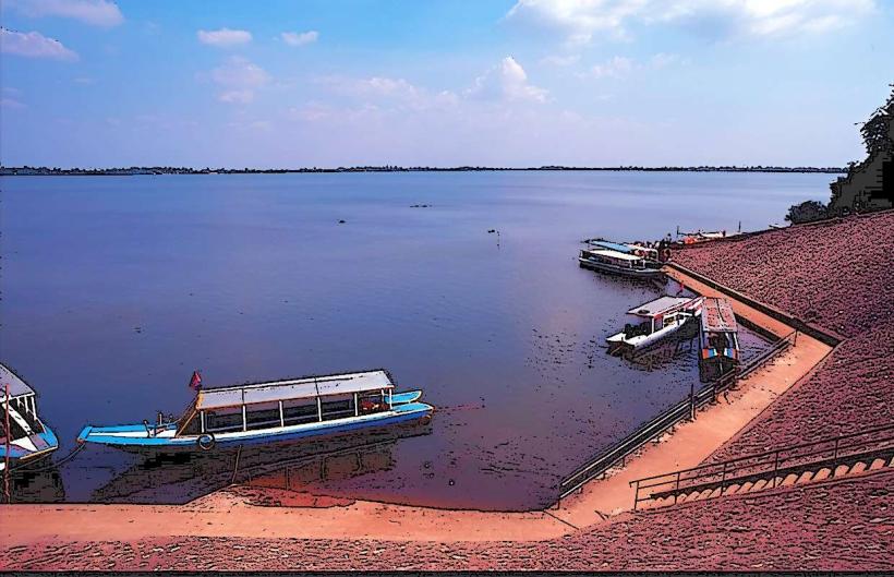
The reservoir is an expansive rectangular expanse of water, approximately 8 kilometers long and 2.1 kilometers wide. Its banks are primarily earthen embankments, with some sections reinforced by laterite stone. The water color varies with season, appearing brown or muddy during the wet season and clearer, sometimes with a greenish hue, during the dry season. Dense tropical vegetation, including palm trees and various shrubs, borders the western and eastern edges.
Location & Access Logistics
The West Baray is situated approximately 5 kilometers west of Siem Reap city center. Access is typically via National Road 6, turning west onto local roads leading to the reservoir. Several unpaved access points exist along the perimeter. Parking is available in informal areas near the main causeways, particularly on the eastern side. Public transport options directly to the reservoir are limited; tuk-tuks and private taxis from Siem Reap are the most common modes of transport.
Historical & Ecological Origin
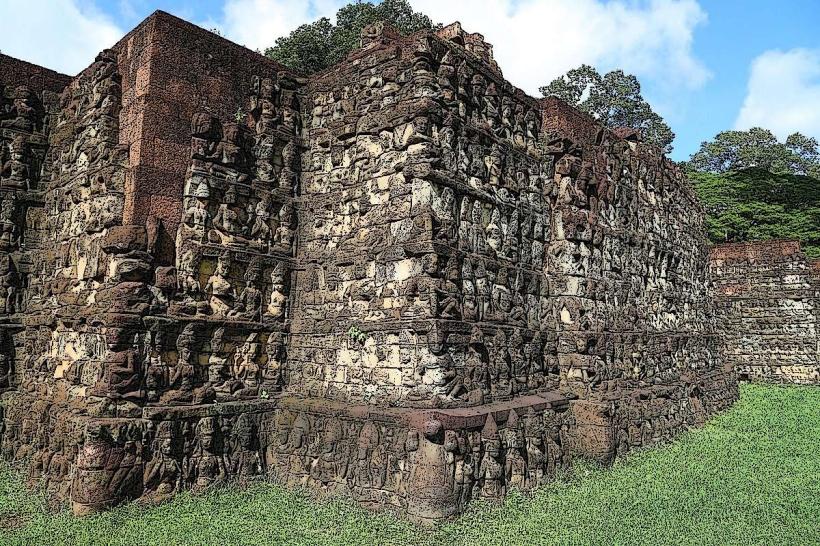
Constructed in the 11th century by the Khmer Empire, the West Baray is a testament to advanced hydraulic engineering. Its primary purpose was water management, serving as a vast reservoir for irrigation during the dry season and flood control during the monsoon. The reservoir is built on a site that was likely a natural depression, enhanced and expanded by human labor using earthworks and stone.
Key Highlights & Activities
Visitors can walk or cycle along the extensive earthen embankments. The eastern causeway, a raised stone pathway, offers a central point for observation. Local residents utilize the reservoir for fishing and recreation. Small boat rentals are sometimes available from local vendors for excursions on the water. The western bank is less developed and offers a more natural setting.
Infrastructure & Amenities
Basic amenities are minimal. Restrooms are not consistently available or maintained. Shade is provided by natural vegetation along the banks. Cell phone signal (4G/5G) is generally available in most areas. Food vendors, selling snacks and drinks, are often present near the eastern causeway, especially during peak hours.
Best Time to Visit
The best time of day for photography is early morning or late afternoon when the sun angle is lower, providing softer light and longer shadows across the water and embankments. The dry season, from November to April, offers more stable weather conditions. During the wet season (May to October), water levels are high, and the surrounding vegetation is at its greenest, but access may be affected by rain.
Facts & Legends
A local legend suggests that the reservoir was created to appease a Naga, a mythical serpent deity, to ensure prosperity and protection for the Khmer kingdom. The sheer scale of the reservoir, built without modern machinery, highlights the sophisticated understanding of water management and labor organization by the Khmer engineers.
Nearby Landmarks
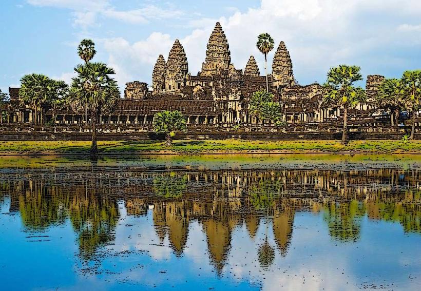
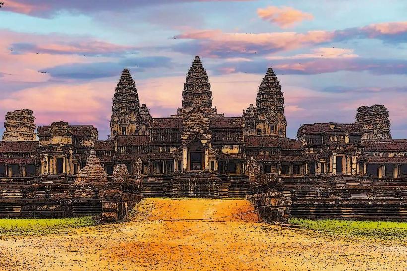
- Angkor Wat (3.5km East)
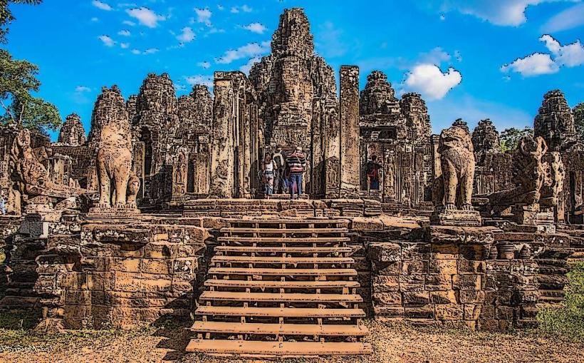
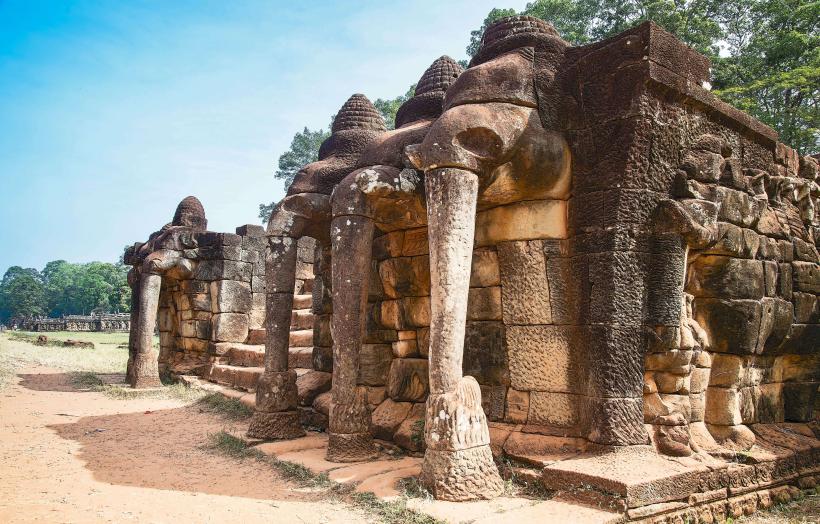
- Angkor Thom (4.0km East)
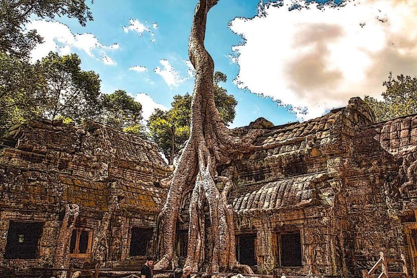
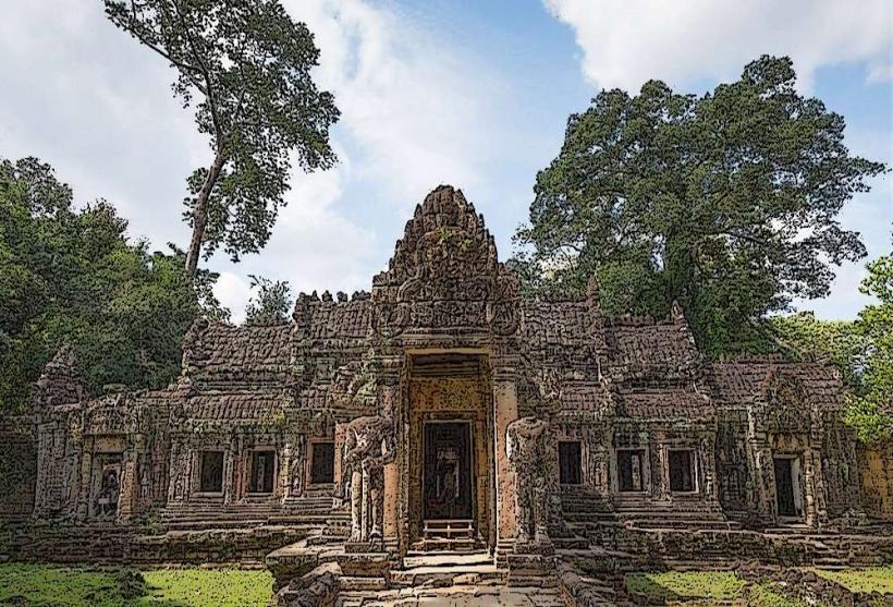
- Ta Prohm (5.0km East)
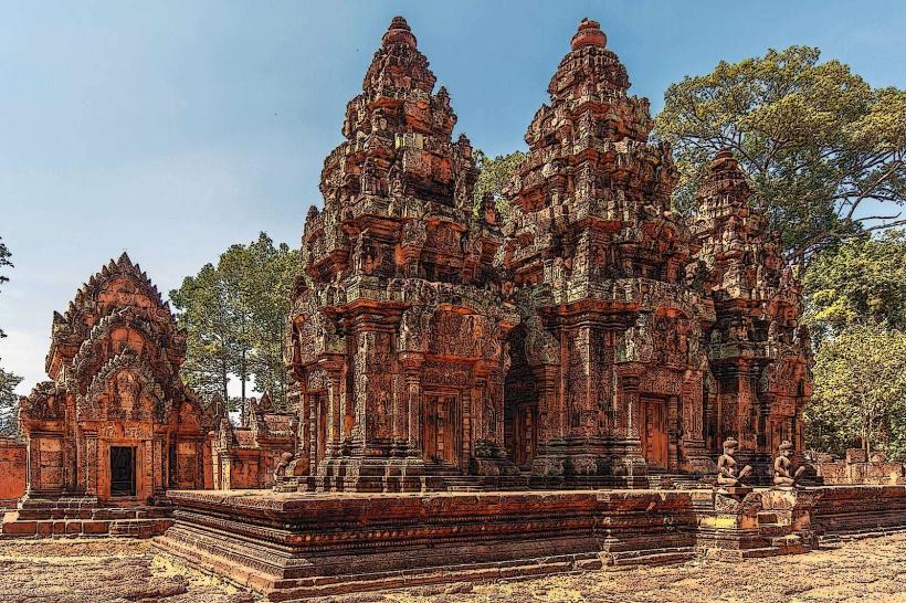
- Banteay Kdei (5.5km East)